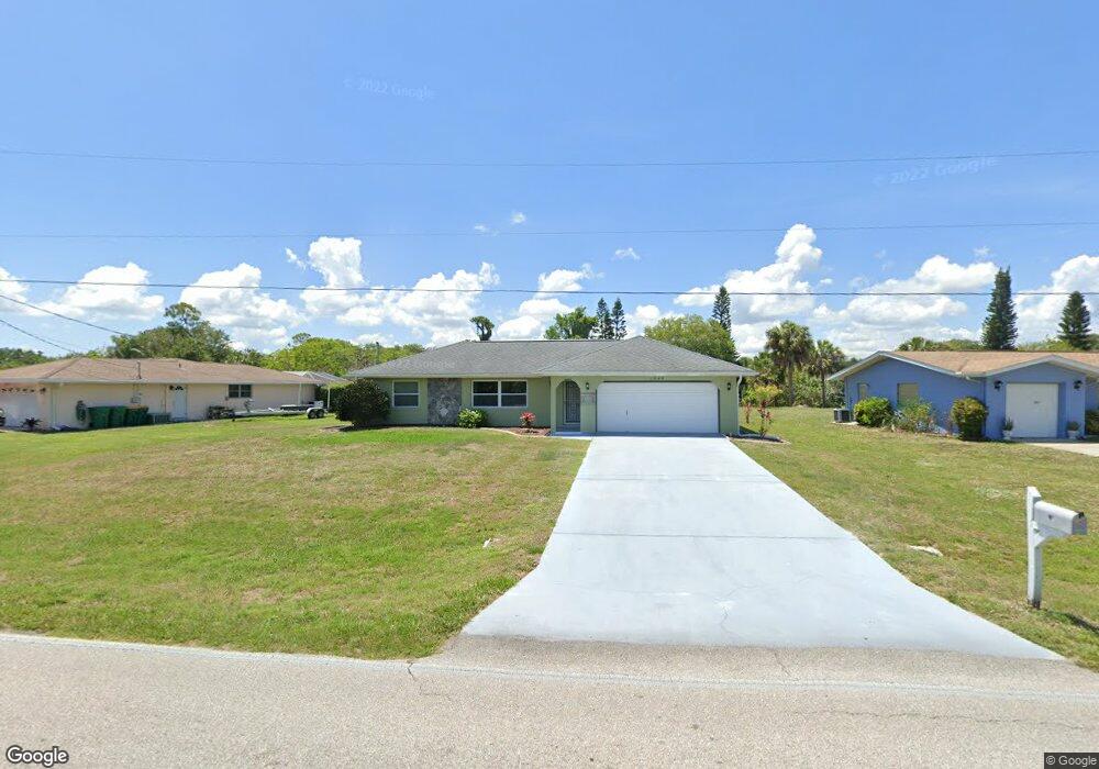
1545 Harbor Blvd Port Charlotte, FL 33952
Estimated Value: $235,000 - $281,000
2
Beds
2
Baths
1,216
Sq Ft
$211/Sq Ft
Est. Value
About This Home
This home is located at 1545 Harbor Blvd, Port Charlotte, FL 33952 and is currently estimated at $256,047, approximately $210 per square foot. 1545 Harbor Blvd is a home located in Charlotte County with nearby schools including Neil Armstrong Elementary School, Port Charlotte Middle School, and Port Charlotte High School.
Ownership History
Date
Name
Owned For
Owner Type
Purchase Details
Closed on
Apr 27, 2016
Sold by
Buono David M and Buono Gary W
Bought by
Fry Clarence
Current Estimated Value
Home Financials for this Owner
Home Financials are based on the most recent Mortgage that was taken out on this home.
Original Mortgage
$149,000
Outstanding Balance
$118,807
Interest Rate
3.71%
Mortgage Type
VA
Estimated Equity
$137,240
Purchase Details
Closed on
Feb 25, 2005
Sold by
Buono David C
Bought by
Cullen Roxanne M and Buono Gary W
Create a Home Valuation Report for This Property
The Home Valuation Report is an in-depth analysis detailing your home's value as well as a comparison with similar homes in the area
Home Values in the Area
Average Home Value in this Area
Purchase History
| Date | Buyer | Sale Price | Title Company |
|---|---|---|---|
| Fry Clarence | $149,000 | Omega Title ,Llc | |
| Cullen Roxanne M | -- | -- |
Source: Public Records
Mortgage History
| Date | Status | Borrower | Loan Amount |
|---|---|---|---|
| Open | Fry Clarence | $149,000 |
Source: Public Records
Tax History Compared to Growth
Tax History
| Year | Tax Paid | Tax Assessment Tax Assessment Total Assessment is a certain percentage of the fair market value that is determined by local assessors to be the total taxable value of land and additions on the property. | Land | Improvement |
|---|---|---|---|---|
| 2023 | $728 | $122,518 | $0 | $0 |
| 2022 | $687 | $120,050 | $0 | $0 |
| 2021 | $676 | $116,553 | $0 | $0 |
| 2020 | $645 | $114,944 | $0 | $0 |
| 2019 | $582 | $112,360 | $0 | $0 |
| 2018 | $531 | $110,265 | $0 | $0 |
| 2017 | $525 | $107,997 | $7,806 | $100,191 |
| 2016 | $2,116 | $94,239 | $0 | $0 |
| 2015 | $1,952 | $85,672 | $0 | $0 |
| 2014 | $1,873 | $81,695 | $0 | $0 |
Source: Public Records
Map
Nearby Homes
- 21432 Bryn Mawr Ave
- 1505 Harbor Blvd
- 1497 Harbor Blvd
- 21431 Circlewood Ave
- 21460 Dawson Ave
- 1505 Fireside St
- 1529 Fireside St
- 1425 Harbor Blvd
- 1578 Adrian St
- 1586 Scotten St
- 1603 Scotten St
- 1516 Birchcrest Blvd
- 1556 Birchcrest Blvd
- 2116 Hanson St
- 21511 Carleton Ave
- 1050 Birchcrest Blvd
- 1604 Birchcrest Blvd
- 1665 Harmony Dr
- 2144 Harbor Blvd
- 1656 Harmony Dr
- 1537 Harbor Blvd
- 1537 Boulevard
- 1553 Harbor Blvd
- Winlock Ave
- 1529 Harbor Blvd
- 1561 Boulevard
- 21426 Dawson Ave
- 1521 Harbor Blvd
- 1566 Forand Cir
- 1558 Forand Cir
- 21436 Dawson Ave
- 21444 Winlock Ave
- 1550 Forand Cir
- 1513 Harbor Blvd
- Bryn Mawr Ave
- Bryn Mawr Ave
- 21444 Dawson Ave
- 21444 Dawson Ave
- 21425 Dawson Ave