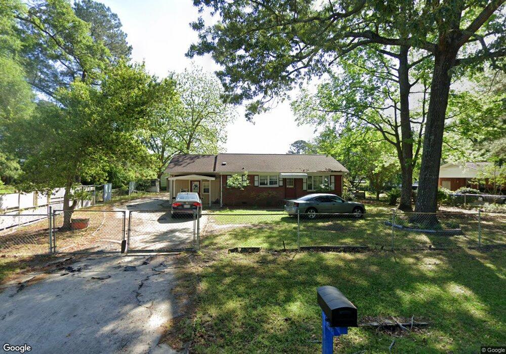
1545 Memory Ln Kinston, NC 28504
Estimated Value: $154,000 - $172,000
2
Beds
1
Bath
1,152
Sq Ft
$142/Sq Ft
Est. Value
About This Home
This home is located at 1545 Memory Ln, Kinston, NC 28504 and is currently estimated at $163,988, approximately $142 per square foot. 1545 Memory Ln is a home located in Lenoir County with nearby schools including Banks Elementary School, E.B. Frink Middle School, and North Lenoir High School.
Ownership History
Date
Name
Owned For
Owner Type
Purchase Details
Closed on
Nov 16, 2009
Sold by
Rollheiser Peter and Rollheiser Carole Ann
Bought by
Perez Maximo Ramirez
Current Estimated Value
Home Financials for this Owner
Home Financials are based on the most recent Mortgage that was taken out on this home.
Original Mortgage
$85,325
Outstanding Balance
$55,657
Interest Rate
4.98%
Mortgage Type
FHA
Estimated Equity
$108,331
Purchase Details
Closed on
Nov 8, 2005
Sold by
Potter Allan Duane and Potter Vanessa
Bought by
Rollheiser Peter
Create a Home Valuation Report for This Property
The Home Valuation Report is an in-depth analysis detailing your home's value as well as a comparison with similar homes in the area
Home Values in the Area
Average Home Value in this Area
Purchase History
| Date | Buyer | Sale Price | Title Company |
|---|---|---|---|
| Perez Maximo Ramirez | $87,000 | -- | |
| Rollheiser Peter | $75,000 | None Available |
Source: Public Records
Mortgage History
| Date | Status | Borrower | Loan Amount |
|---|---|---|---|
| Open | Perez Maximo Ramirez | $85,325 |
Source: Public Records
Tax History Compared to Growth
Tax History
| Year | Tax Paid | Tax Assessment Tax Assessment Total Assessment is a certain percentage of the fair market value that is determined by local assessors to be the total taxable value of land and additions on the property. | Land | Improvement |
|---|---|---|---|---|
| 2025 | $1,163 | $148,160 | $17,331 | $130,829 |
| 2024 | $778 | $76,221 | $10,000 | $66,221 |
| 2023 | $778 | $76,221 | $10,000 | $66,221 |
| 2022 | $778 | $76,221 | $10,000 | $66,221 |
| 2021 | $776 | $76,221 | $10,000 | $66,221 |
| 2020 | $776 | $76,221 | $10,000 | $66,221 |
| 2019 | $778 | $76,221 | $10,000 | $66,221 |
| 2018 | $766 | $76,221 | $10,000 | $66,221 |
| 2017 | $764 | $76,221 | $10,000 | $66,221 |
| 2014 | $809 | $82,409 | $10,000 | $72,409 |
| 2013 | -- | $82,409 | $10,000 | $72,409 |
| 2011 | -- | $82,409 | $10,000 | $72,409 |
Source: Public Records
Map
Nearby Homes
- 3807 Random Rd
- 1801 Crestview St
- 1729 Holly Ridge Rd
- 2100 Hwy 258 N
- 0 Dogwood Ln Unit 100189056
- 2193 Dogwood Ln
- 2111 Hunt Hill Place
- 2634 Forrest Dr
- 0 Hwy 258 N Unit LotWP001 22409279
- 0 Hwy 258 N Unit LotWP002
- 2200 Carriage Dr
- 2635 Dogwood Ln
- 3147 Fox Run Dr
- 2443 Creekside Rd
- 2917 Laurel Ridge Ln
- 1923 Christian Ln
- 1 U S 258
- 1324 S Wilshire Ct
- 1423 N Wilshire Ct
- 3101 Marion Heights Dr
- 1947 Banks School Rd
- 1937 Banks School Rd Unit 1939
- 1521 Memory Ln
- 1664 Hwy 258 N
- 1971 Banks School Rd
- 1542 Memory Ln
- 1530 Memory Ln
- 1517 Memory Ln
- 1981 Banks School Rd
- 1526 Memory Ln
- 1650 Hwy 258 N
- 1648 Us Highway 258 N
- 1514 Memory Ln
- 1745 Hill Farm Rd
- 1755 Hill Farm Rd
- 1630 Us Highway 258 N
- 1987 Banks School Rd Unit 2A
- 1735 Hill Farm Rd
- 1508 Memory Ln
- 1725 Hill Farm Rd