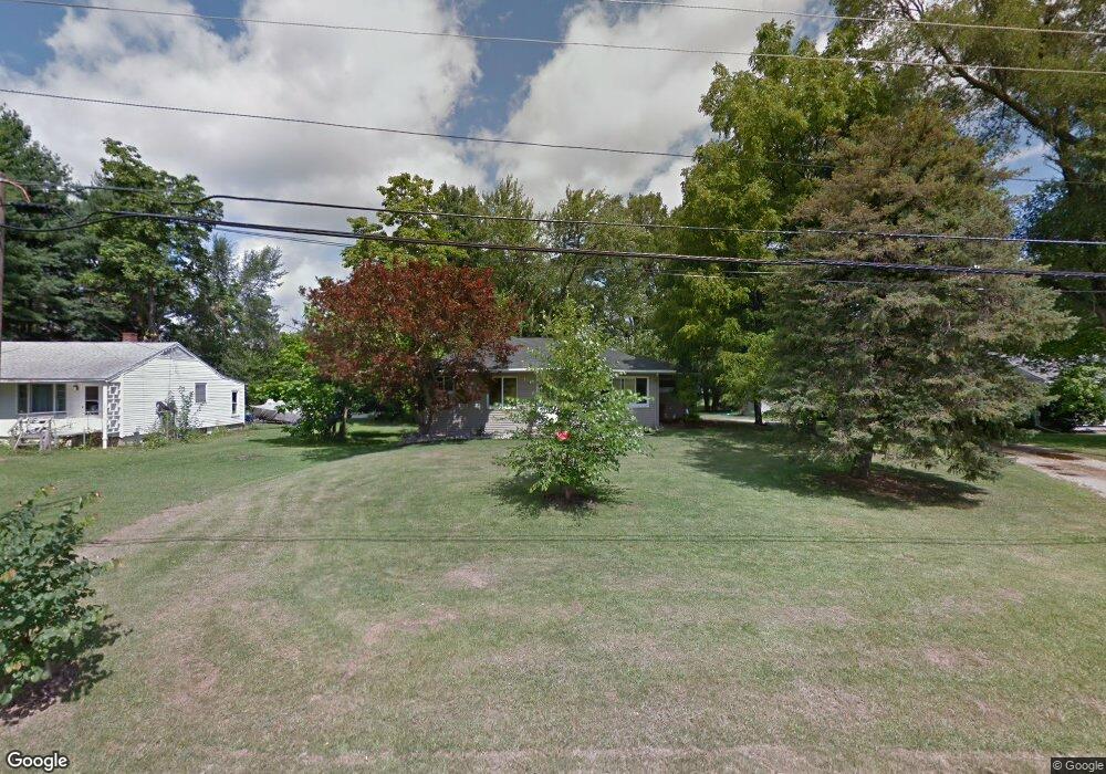
1545 Moore Rd Adrian, MI 49221
Estimated Value: $195,000 - $228,000
2
Beds
1
Bath
1,512
Sq Ft
$135/Sq Ft
Est. Value
About This Home
This home is located at 1545 Moore Rd, Adrian, MI 49221 and is currently estimated at $203,785, approximately $134 per square foot. 1545 Moore Rd is a home located in Lenawee County with nearby schools including Adrian High School, St. Joseph Academy, and St. Joseph's Academy.
Ownership History
Date
Name
Owned For
Owner Type
Purchase Details
Closed on
Nov 5, 2009
Sold by
Jjh Properties and Wagley Joseph L
Bought by
Walter Eric A and Walter Christina M
Current Estimated Value
Home Financials for this Owner
Home Financials are based on the most recent Mortgage that was taken out on this home.
Original Mortgage
$85,170
Outstanding Balance
$55,328
Interest Rate
4.9%
Mortgage Type
New Conventional
Estimated Equity
$148,457
Purchase Details
Closed on
Aug 18, 2008
Sold by
Etter Cecil O and Etter Esther M
Bought by
Jjh Properties Llc
Purchase Details
Closed on
Aug 14, 2007
Sold by
Relyea Gilbert V
Bought by
Relyea Gilbert and Etter Cecil O
Create a Home Valuation Report for This Property
The Home Valuation Report is an in-depth analysis detailing your home's value as well as a comparison with similar homes in the area
Home Values in the Area
Average Home Value in this Area
Purchase History
| Date | Buyer | Sale Price | Title Company |
|---|---|---|---|
| Walter Eric A | $83,500 | None Available | |
| Jjh Properties Llc | $13,500 | None Available | |
| Relyea Gilbert | -- | None Available |
Source: Public Records
Mortgage History
| Date | Status | Borrower | Loan Amount |
|---|---|---|---|
| Open | Walter Eric A | $85,170 |
Source: Public Records
Tax History
| Year | Tax Paid | Tax Assessment Tax Assessment Total Assessment is a certain percentage of the fair market value that is determined by local assessors to be the total taxable value of land and additions on the property. | Land | Improvement |
|---|---|---|---|---|
| 2025 | $1,443 | $75,500 | $0 | $0 |
| 2024 | $9 | $73,000 | $0 | $0 |
| 2022 | $811 | $60,700 | $0 | $0 |
| 2021 | $1,325 | $54,800 | $0 | $0 |
| 2020 | $1,328 | $48,800 | $0 | $0 |
| 2019 | $121,915 | $45,300 | $0 | $0 |
| 2018 | $1,283 | $45,273 | $0 | $0 |
| 2017 | $1,237 | $43,359 | $0 | $0 |
| 2016 | $1,221 | $41,942 | $0 | $0 |
| 2014 | -- | $39,794 | $0 | $0 |
Source: Public Records
Map
Nearby Homes
- 1084 Loren Rd
- 3311 N Adrian Hwy
- 3163 Birch Run
- 3153 Beaver Creek Ridge
- 4126 Mckenna Dr
- 2165 Occidental Hwy
- 4587 N Adrian Hwy
- 3264 N Adrian Hwy
- 00 Bent Oak Hwy
- 161 Bailey Dr
- 2082 Friar Tuck Cir
- 5679 Catawba Dr
- 2860 Dawn Dr
- 2658 Spielman Heights Dr
- 2000 blk Sutton Rd Unit Parcel B
- 2600 Blk Sutton Rd Unit Parcel C
- 2634 Spielman Rd
- 4329 Mohawk Trail
- 2147 Gady Rd
- 2550 Bent Oak Ave
Your Personal Tour Guide
Ask me questions while you tour the home.