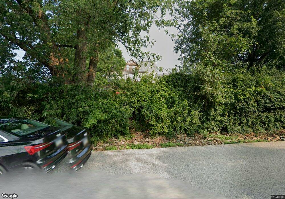
1545 N Trooper Rd Unit 17-6 Norristown, PA 19403
Estimated Value: $1,154,000 - $1,489,000
6
Beds
5
Baths
6,278
Sq Ft
$209/Sq Ft
Est. Value
About This Home
This home is located at 1545 N Trooper Rd Unit 17-6, Norristown, PA 19403 and is currently estimated at $1,312,025, approximately $208 per square foot. 1545 N Trooper Rd Unit 17-6 is a home located in Montgomery County with nearby schools including Worcester Elementary School, Skyview Upper Elementary School, and Arcola Intermediate School.
Ownership History
Date
Name
Owned For
Owner Type
Purchase Details
Closed on
Jun 14, 2021
Sold by
Westrum John A
Bought by
Mumenthaler Rachel Paige and Mascaro Matthew J
Current Estimated Value
Home Financials for this Owner
Home Financials are based on the most recent Mortgage that was taken out on this home.
Original Mortgage
$780,000
Outstanding Balance
$706,193
Interest Rate
2.9%
Mortgage Type
New Conventional
Estimated Equity
$605,832
Purchase Details
Closed on
Dec 22, 2016
Sold by
Westrum John A and Patterson Deborah H
Bought by
Westrum John A
Purchase Details
Closed on
Jan 30, 2008
Sold by
Westrum Whitemarsh Inc
Bought by
Westrum John A and Westrum Deborah H
Home Financials for this Owner
Home Financials are based on the most recent Mortgage that was taken out on this home.
Original Mortgage
$1,000,000
Interest Rate
6.14%
Create a Home Valuation Report for This Property
The Home Valuation Report is an in-depth analysis detailing your home's value as well as a comparison with similar homes in the area
Home Values in the Area
Average Home Value in this Area
Purchase History
| Date | Buyer | Sale Price | Title Company |
|---|---|---|---|
| Mumenthaler Rachel Paige | $975,000 | None Available | |
| Westrum John A | -- | None Available | |
| Westrum John A | -- | None Available |
Source: Public Records
Mortgage History
| Date | Status | Borrower | Loan Amount |
|---|---|---|---|
| Open | Mumenthaler Rachel Paige | $780,000 | |
| Previous Owner | Westrum John A | $1,000,000 |
Source: Public Records
Tax History Compared to Growth
Tax History
| Year | Tax Paid | Tax Assessment Tax Assessment Total Assessment is a certain percentage of the fair market value that is determined by local assessors to be the total taxable value of land and additions on the property. | Land | Improvement |
|---|---|---|---|---|
| 2025 | $17,607 | $464,850 | -- | -- |
| 2024 | $17,607 | $464,850 | -- | -- |
| 2023 | $16,888 | $464,850 | $0 | $0 |
| 2022 | $16,561 | $464,850 | $0 | $0 |
| 2021 | $16,235 | $464,850 | $0 | $0 |
| 2020 | $15,934 | $464,850 | $0 | $0 |
| 2019 | $15,778 | $464,850 | $0 | $0 |
| 2018 | $1,812 | $464,850 | $0 | $0 |
| 2017 | $14,829 | $454,320 | $0 | $0 |
| 2016 | $14,651 | $454,320 | $0 | $0 |
| 2015 | $14,131 | $454,320 | $0 | $0 |
| 2014 | $14,131 | $454,320 | $0 | $0 |
Source: Public Records
Map
Nearby Homes
- 1534 N Trooper Rd
- 2967 Township Line Rd
- 1507 Potshop Rd
- 1716 Landis Rd
- LOT 28 Heebner Rd
- 1241 & 1243 Valley Forge Rd
- 3023 Eisenhower Rd
- 2624 Hawthorn Dr
- 3103 Hayes Rd
- 3235 Heebner Rd
- 906 N Trooper Rd
- 3180 Zacharias Rd
- 2725 Skippack Pike
- 643 Barbara Dr
- 116 Brindle Ct
- 1103 Arden Dr Unit METHACTON SCHOOL
- LOT 1 Wanda
- 2 Capri Ln Unit KINSLEY
- 1811 Hollow Rd
- 1921 Whitehall Rd
- 1545 N Trooper Rd
- 1543 N Trooper Rd
- 1548 N Trooper Rd
- 1554 N Trooper Rd
- 1527 N Trooper Rd
- 1521 N Trooper Rd
- 1516 N Trooper Rd
- 1570 N Trooper Rd
- 1515 N Trooper Rd
- 1524 N Trooper
- 1524 N Trooper Rd
- 2905 Township Line Rd
- 2833 Township Line Rd
- 2827 Township Line Rd
- 2909 Township Line Rd
- 1467 N Trooper Rd
- 2024 N Trooper Rd
- 2910 Township Line Rd
- 2821 Township Line Rd
- 2843 Township Line Rd