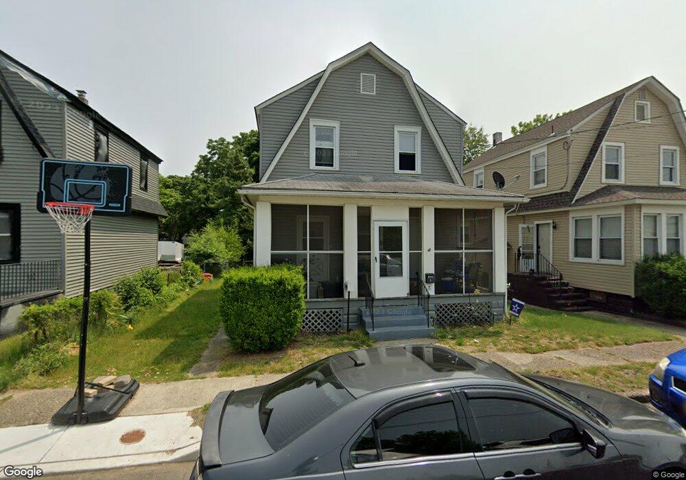
1545 Paul Ave Paulsboro, NJ 08066
Estimated Value: $189,924 - $273,000
--
Bed
--
Bath
1,474
Sq Ft
$158/Sq Ft
Est. Value
About This Home
This home is located at 1545 Paul Ave, Paulsboro, NJ 08066 and is currently estimated at $232,481, approximately $157 per square foot. 1545 Paul Ave is a home located in Gloucester County with nearby schools including Billingsport Elementary School, Loudenslager Elementary School, and Paulsboro High School.
Ownership History
Date
Name
Owned For
Owner Type
Purchase Details
Closed on
Apr 15, 2011
Sold by
Luger Jane Marie and Lamson Leon F
Bought by
Caione Ralph and Caione Susan
Current Estimated Value
Home Financials for this Owner
Home Financials are based on the most recent Mortgage that was taken out on this home.
Original Mortgage
$65,000
Outstanding Balance
$45,053
Interest Rate
4.9%
Mortgage Type
Purchase Money Mortgage
Estimated Equity
$187,428
Create a Home Valuation Report for This Property
The Home Valuation Report is an in-depth analysis detailing your home's value as well as a comparison with similar homes in the area
Home Values in the Area
Average Home Value in this Area
Purchase History
| Date | Buyer | Sale Price | Title Company |
|---|---|---|---|
| Caione Ralph | $60,000 | Homestead Title Agency |
Source: Public Records
Mortgage History
| Date | Status | Borrower | Loan Amount |
|---|---|---|---|
| Open | Caione Ralph | $65,000 |
Source: Public Records
Tax History Compared to Growth
Tax History
| Year | Tax Paid | Tax Assessment Tax Assessment Total Assessment is a certain percentage of the fair market value that is determined by local assessors to be the total taxable value of land and additions on the property. | Land | Improvement |
|---|---|---|---|---|
| 2025 | $4,721 | $107,300 | $16,300 | $91,000 |
| 2024 | $4,717 | $107,300 | $16,300 | $91,000 |
| 2023 | $4,717 | $107,300 | $16,300 | $91,000 |
| 2022 | $4,631 | $107,300 | $16,300 | $91,000 |
| 2021 | $4,541 | $107,300 | $16,300 | $91,000 |
| 2020 | $4,513 | $107,300 | $16,300 | $91,000 |
| 2019 | $4,371 | $107,300 | $16,300 | $91,000 |
| 2018 | $4,121 | $107,300 | $16,300 | $91,000 |
| 2017 | $4,104 | $107,300 | $16,300 | $91,000 |
| 2016 | $3,910 | $107,300 | $16,300 | $91,000 |
| 2015 | $3,887 | $107,300 | $16,300 | $91,000 |
| 2014 | $3,732 | $110,800 | $18,900 | $91,900 |
Source: Public Records
Map
Nearby Homes
- 1529 Swedesboro Ave
- 108 Thomson Ave
- 300 Thomson Ave
- 319 Morton Ave
- 308 W Broad St
- 1252 Heddon Ave
- 459 W Broad St
- L18 20 W Broad St
- 123 W Buck St
- 122 W Washington St
- 1635 S Delaware St
- 8 S Delaware St
- 34 W Washington St
- 129 W Washington St
- 1174 Berkley Rd
- 333 W Buck St
- 335 W Buck St
- 0 Lodge Ave
- 20 W Adams St
- 441 W Broad St
- 1541 Paul Ave
- 1549 Paul Ave
- 1537 Paul Ave
- 1616 Swedesboro Ave
- 1533 Paul Ave
- 1622 Swedesboro Ave
- 1626 Swedesboro Ave
- 1612 Swedesboro Ave
- 1538 Paul Ave
- 1608 Swedesboro Ave
- 1548 Paul Ave
- 1532 Paul Ave
- 1602 Swedesboro Ave
- 1554 Paul Ave
- 1529 Paul Ave
- 1530 Pine St
- 1528 Paul Ave
- 1519 Paul Ave
- 1577 Swedesboro Ave
- 242 Morton Ave