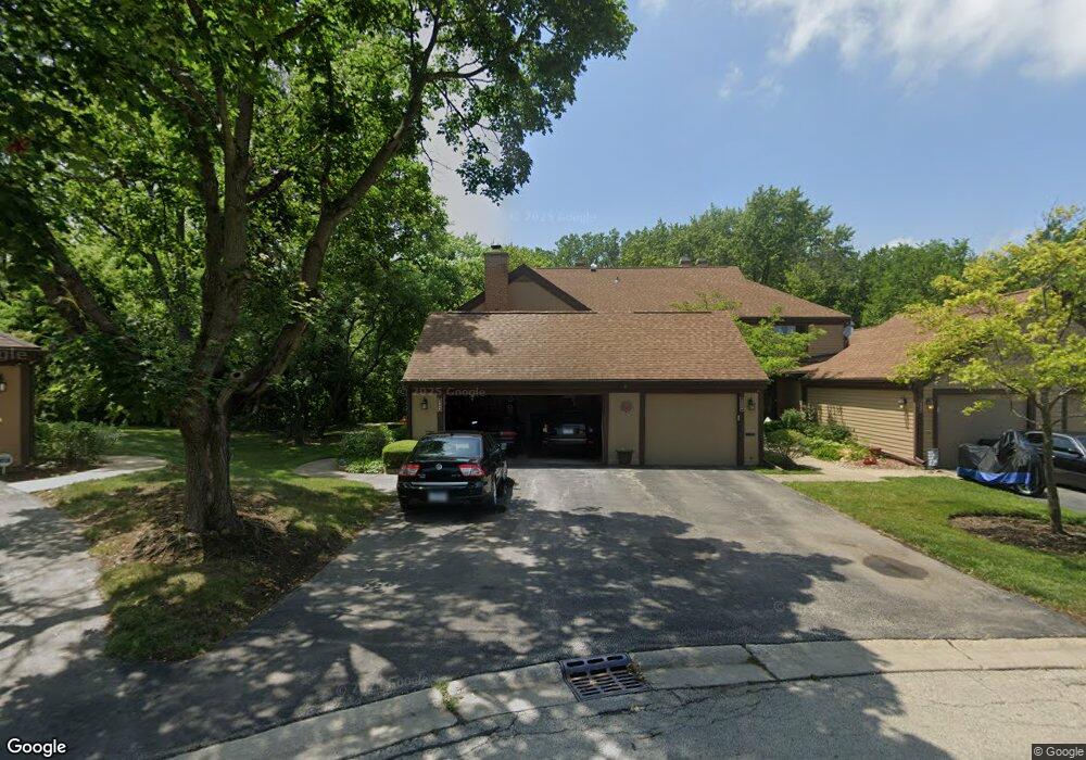
1546 Anderson Ln Unit G4 Buffalo Grove, IL 60089
Estimated Value: $404,784 - $438,000
3
Beds
3
Baths
1,932
Sq Ft
$220/Sq Ft
Est. Value
About This Home
This home is located at 1546 Anderson Ln Unit G4, Buffalo Grove, IL 60089 and is currently estimated at $424,196, approximately $219 per square foot. 1546 Anderson Ln Unit G4 is a home located in Lake County with nearby schools including Kildeer Countryside Elementary School, Woodlawn Middle School, and Adlai E Stevenson High School.
Ownership History
Date
Name
Owned For
Owner Type
Purchase Details
Closed on
Jan 18, 2005
Sold by
Reid Mary Joan
Bought by
Kostow Louis M and Becker Kostow Melinda A
Current Estimated Value
Home Financials for this Owner
Home Financials are based on the most recent Mortgage that was taken out on this home.
Original Mortgage
$211,900
Outstanding Balance
$106,402
Interest Rate
5.77%
Mortgage Type
Unknown
Estimated Equity
$317,794
Purchase Details
Closed on
May 29, 1996
Sold by
Schramm Philip L and Schramm Mary H
Bought by
Reid William W and Reid Mary Joan
Home Financials for this Owner
Home Financials are based on the most recent Mortgage that was taken out on this home.
Original Mortgage
$100,000
Interest Rate
7.8%
Create a Home Valuation Report for This Property
The Home Valuation Report is an in-depth analysis detailing your home's value as well as a comparison with similar homes in the area
Home Values in the Area
Average Home Value in this Area
Purchase History
| Date | Buyer | Sale Price | Title Company |
|---|---|---|---|
| Kostow Louis M | $340,000 | -- | |
| Reid William W | $230,000 | Republic Title Company |
Source: Public Records
Mortgage History
| Date | Status | Borrower | Loan Amount |
|---|---|---|---|
| Open | Kostow Louis M | $211,900 | |
| Previous Owner | Reid William W | $100,000 |
Source: Public Records
Tax History Compared to Growth
Tax History
| Year | Tax Paid | Tax Assessment Tax Assessment Total Assessment is a certain percentage of the fair market value that is determined by local assessors to be the total taxable value of land and additions on the property. | Land | Improvement |
|---|---|---|---|---|
| 2024 | $9,669 | $113,129 | $24,156 | $88,973 |
| 2023 | $9,618 | $106,746 | $22,793 | $83,953 |
| 2022 | $9,618 | $103,234 | $22,043 | $81,191 |
| 2021 | $9,246 | $102,121 | $21,805 | $80,316 |
| 2020 | $9,030 | $102,469 | $21,879 | $80,590 |
| 2019 | $8,912 | $102,091 | $21,798 | $80,293 |
| 2018 | $6,904 | $83,974 | $23,694 | $60,280 |
| 2017 | $6,765 | $82,014 | $23,141 | $58,873 |
| 2016 | $6,557 | $78,535 | $22,159 | $56,376 |
| 2015 | $6,334 | $73,445 | $20,723 | $52,722 |
| 2014 | $7,252 | $76,456 | $22,256 | $54,200 |
| 2012 | $7,199 | $76,610 | $22,301 | $54,309 |
Source: Public Records
Map
Nearby Homes
- 1117 Franklin Ln Unit C52
- 1325 Fairfax Ln
- 1514 Sumter Dr
- 12 Cloverdale Ct
- 4106 Bob o Link Ln
- 1545 Chickamauga Ln
- 5107 N Arlington Heights Rd
- 1144 Steeple View Dr
- 1146 Steeple View Dr
- 1728 Holly Ct
- 1327 Larchmont Dr
- 620 Twisted Oak Ln
- 5135 Bridlewood Ct
- 760 Checker Dr
- 1763 Country Club Dr
- 810 Silver Rock Ln
- 1315 Gail Dr
- 1112 Auburn Ln
- 5255 Danbury Ct
- 630 Woodhollow Ln
- 1560 Anderson Ln
- 1558 Anderson Ln Unit 5F
- 1556 Anderson Ln Unit F4
- 1554 Anderson Ln Unit F3
- 1552 Anderson Ln Unit F2
- 1578 Anderson Ln
- 1576 Anderson Ln Unit E7
- 1574 Anderson Ln Unit E6
- 1572 Anderson Ln Unit E5
- 1570 Anderson Ln Unit E4
- 1568 Anderson Ln Unit E3
- 1566 Anderson Ln Unit E2
- 1514 Anderson Ln Unit 18
- 1516 Anderson Ln Unit I7
- 1518 Anderson Ln Unit 16
- 1520 Anderson Ln Unit I5
- 1522 Anderson Ln Unit 14
- 1524 Anderson Ln
- 1526 Anderson Ln
- 1528 Anderson Ln Unit I1