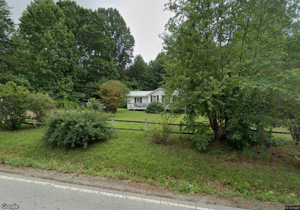
1546 Sanderstown Rd Franklin, NC 28734
Estimated Value: $254,302 - $328,000
3
Beds
2
Baths
1,136
Sq Ft
$251/Sq Ft
Est. Value
About This Home
This home is located at 1546 Sanderstown Rd, Franklin, NC 28734 and is currently estimated at $284,826, approximately $250 per square foot. 1546 Sanderstown Rd is a home located in Macon County with nearby schools including Iotla Valley Elementary School, Mountain View Intermediate School, and Macon Middle School.
Ownership History
Date
Name
Owned For
Owner Type
Purchase Details
Closed on
Aug 27, 2019
Sold by
Holland Andrew J
Bought by
Franks Erika Lyne
Current Estimated Value
Home Financials for this Owner
Home Financials are based on the most recent Mortgage that was taken out on this home.
Original Mortgage
$125,000
Outstanding Balance
$111,155
Interest Rate
4.37%
Mortgage Type
Adjustable Rate Mortgage/ARM
Estimated Equity
$173,671
Purchase Details
Closed on
Sep 3, 1992
Sold by
Morgan Edna W
Bought by
Holland Andrea J
Create a Home Valuation Report for This Property
The Home Valuation Report is an in-depth analysis detailing your home's value as well as a comparison with similar homes in the area
Home Values in the Area
Average Home Value in this Area
Purchase History
| Date | Buyer | Sale Price | Title Company |
|---|---|---|---|
| Franks Erika Lyne | $125,000 | None Available | |
| Holland Andrea J | $6,000 | -- |
Source: Public Records
Mortgage History
| Date | Status | Borrower | Loan Amount |
|---|---|---|---|
| Open | Franks Erika Lyne | $125,000 |
Source: Public Records
Tax History Compared to Growth
Tax History
| Year | Tax Paid | Tax Assessment Tax Assessment Total Assessment is a certain percentage of the fair market value that is determined by local assessors to be the total taxable value of land and additions on the property. | Land | Improvement |
|---|---|---|---|---|
| 2025 | $799 | $199,780 | $35,890 | $163,890 |
| 2024 | $799 | $199,780 | $35,890 | $163,890 |
| 2023 | $752 | $199,780 | $35,890 | $163,890 |
| 2022 | $571 | $98,470 | $16,000 | $82,470 |
| 2021 | $556 | $98,470 | $16,000 | $82,470 |
| 2020 | $531 | $98,470 | $16,000 | $82,470 |
| 2018 | $525 | $106,650 | $17,260 | $89,390 |
| 2017 | $525 | $106,650 | $17,260 | $89,390 |
| 2016 | $515 | $106,650 | $17,260 | $89,390 |
| 2015 | $492 | $106,650 | $17,260 | $89,390 |
| 2014 | $451 | $122,770 | $27,220 | $95,550 |
| 2013 | -- | $122,770 | $27,220 | $95,550 |
Source: Public Records
Map
Nearby Homes
- 0 Gale Trail
- Lot 6 Gale Trail
- 266 Gale Trail
- 567 Clyde Downs Rd
- 603 Butterfly Blvd
- 443 Butterfly Blvd
- 472 Butterfly Blvd
- 642 Butterfly Blvd
- 530 Mane Loop Rd
- 177 Bailey Hills Rd
- 314 McDonald Rd
- 0 Piney Grove Rd Unit 1 CAR4288689
- 0 Piney Grove Rd Unit 26036767
- Lot 40 Buck Mountain Rd
- 357 Buck Mountain Rd
- 578 Piney Grove Rd
- 134 Sunset View Trail
- 169 Cszonka Rd
- 158 Sunset View Trail Unit 254
- 158 Sunset View Trail
- 1686 Jim Berry Rd
- 1586 Sanderstown Rd
- 1605 Sanderstown Rd
- 73 Lyle Knob Rd
- 13 Lyle Knob Rd
- 55 Five Points Dr
- 61 Lyle Knob Rd
- 38 Five Points Dr
- 60 Five Points Dr
- 1361 Sanderstown Rd Unit 1335
- 17 Falcon Dr
- 17 Falcon Dr
- 23 Falcon View Trail
- Lot 21 Falcon View Trail
- 17 Falcon View Trail
- 121 Five Points Dr
- 130 Five Points Dr
- 130 5 Points Dr
- 170 Gale Trail
- 170 Gale Trail