15465 Highway 62 Eagle Point, OR 97524
Estimated Value: $945,146 - $1,083,000
3
Beds
2
Baths
2,810
Sq Ft
$357/Sq Ft
Est. Value
About This Home
This home is located at 15465 Highway 62, Eagle Point, OR 97524 and is currently estimated at $1,003,049, approximately $356 per square foot. 15465 Highway 62 is a home located in Jackson County with nearby schools including Eagle Point Middle School, White Mountain Middle School, and Eagle Point High School.
Ownership History
Date
Name
Owned For
Owner Type
Purchase Details
Closed on
May 3, 2000
Sold by
Gratsinger Jane
Bought by
Woolf David N and Woolf Deborah L
Current Estimated Value
Home Financials for this Owner
Home Financials are based on the most recent Mortgage that was taken out on this home.
Original Mortgage
$252,700
Outstanding Balance
$82,764
Interest Rate
8.25%
Estimated Equity
$920,285
Purchase Details
Closed on
Feb 22, 2000
Sold by
Stonebilt Inc
Bought by
Gratsinger Roger Paul and Gratsinger Jane N
Create a Home Valuation Report for This Property
The Home Valuation Report is an in-depth analysis detailing your home's value as well as a comparison with similar homes in the area
Purchase History
| Date | Buyer | Sale Price | Title Company |
|---|---|---|---|
| Woolf David N | $425,000 | Jackson County Title | |
| Gratsinger Roger Paul | $37,000 | Jackson County Title |
Source: Public Records
Mortgage History
| Date | Status | Borrower | Loan Amount |
|---|---|---|---|
| Open | Woolf David N | $252,700 |
Source: Public Records
Tax History
| Year | Tax Paid | Tax Assessment Tax Assessment Total Assessment is a certain percentage of the fair market value that is determined by local assessors to be the total taxable value of land and additions on the property. | Land | Improvement |
|---|---|---|---|---|
| 2026 | $4,622 | $411,718 | -- | -- |
| 2025 | $4,547 | $399,845 | $23,085 | $376,760 |
| 2024 | $4,547 | $388,319 | $22,529 | $365,790 |
| 2023 | $4,399 | $377,133 | $21,993 | $355,140 |
| 2022 | $4,271 | $377,133 | $21,993 | $355,140 |
| 2021 | $4,147 | $366,268 | $21,468 | $344,800 |
| 2020 | $4,487 | $355,718 | $20,958 | $334,760 |
| 2019 | $4,433 | $335,540 | $19,980 | $315,560 |
| 2018 | $4,333 | $316,778 | $19,328 | $297,450 |
| 2017 | $3,891 | $316,778 | $19,328 | $297,450 |
| 2016 | $3,671 | $299,117 | $18,447 | $280,670 |
| 2015 | $3,481 | $275,357 | $17,967 | $257,390 |
| 2014 | $3,157 | $257,326 | $16,936 | $240,390 |
Source: Public Records
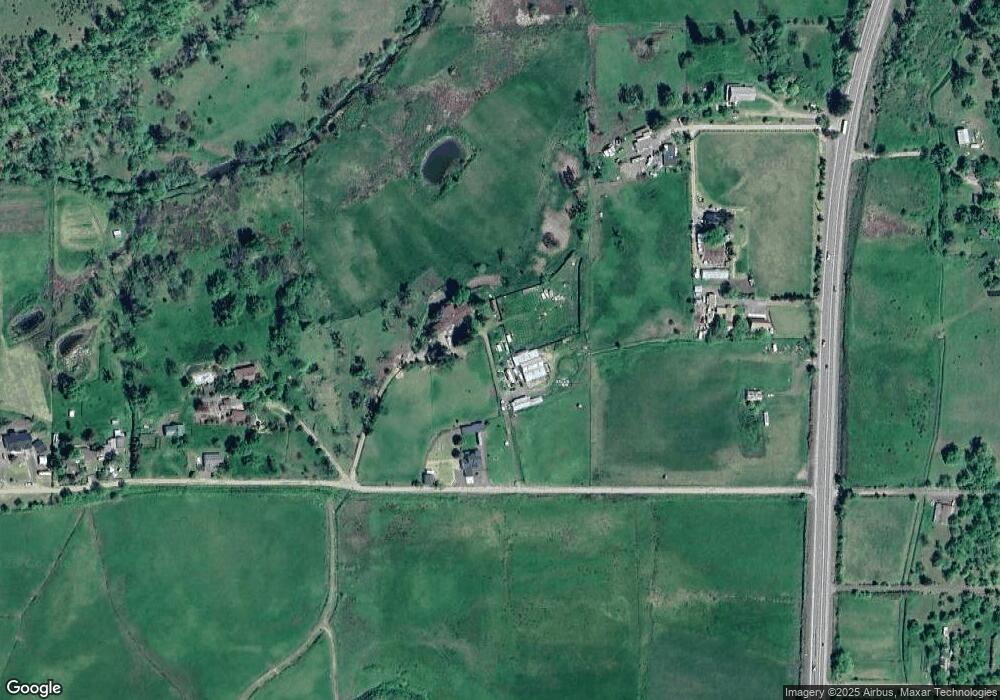
Map
Nearby Homes
- 243 Oregon 234
- 245 Highway 234
- 120 Hammel Rd
- 912 Mountain View Dr
- 1305 Butte Falls Hwy
- 1583 Highway 234
- 200 Sierra Dr
- 800 Hillandale Cir
- 2162 Butte Falls Hwy
- 510 Chateau Dr
- 693 Ironwood Dr
- 198 Flamingo Dr
- 533 Chateau Dr
- 0 Rogue River Dr Unit 220215041
- 506 Greenleaf Dr
- 2900 Rogue River Dr
- 1560 Brentwood Dr
- 200 Mount Castle Dr
- 417 E Rolling Hills Dr
- 1881 Brophy Rd
- 15459 Highway 62
- 15641 Highway 62
- 15641 Highway 62
- 15615 Highway 62
- 15551 Highway 62
- 15535 Hwy 62
- 15665 Highway 62
- 15457 Highway 62
- 15456 Highway 62
- 15644 Highway 62
- 16005 Oregon 62
- 15215 Highway 62
- 16005 Highway 62
- 15432 Highway 62
- 15909 Oregon 62
- 15455 Highway 62
- 15909 Highway 62
- 15875 Highway 62
- 15875 Highway 62
- 15336 Highway 62
Your Personal Tour Guide
Ask me questions while you tour the home.