1546C Drift Rd Westport, MA 02790
Westport Point NeighborhoodEstimated Value: $1,891,000 - $1,995,000
3
Beds
--
Bath
3,622
Sq Ft
$541/Sq Ft
Est. Value
About This Home
This home is located at 1546C Drift Rd, Westport, MA 02790 and is currently estimated at $1,959,681, approximately $541 per square foot. 1546C Drift Rd is a home located in Bristol County with nearby schools including Alice A. Macomber Primary School, Westport Elementary School, and Westport Middle-High School.
Ownership History
Date
Name
Owned For
Owner Type
Purchase Details
Closed on
Dec 8, 1994
Sold by
Schein Harold I
Bought by
Winters James G and Winters Robin J
Current Estimated Value
Create a Home Valuation Report for This Property
The Home Valuation Report is an in-depth analysis detailing your home's value as well as a comparison with similar homes in the area
Home Values in the Area
Average Home Value in this Area
Purchase History
| Date | Buyer | Sale Price | Title Company |
|---|---|---|---|
| Winters James G | $115,000 | -- | |
| Winters James G | $115,000 | -- |
Source: Public Records
Mortgage History
| Date | Status | Borrower | Loan Amount |
|---|---|---|---|
| Open | Winters James G | $150,000 | |
| Open | Winters James G | $410,000 | |
| Closed | Winters James G | $417,000 |
Source: Public Records
Tax History Compared to Growth
Tax History
| Year | Tax Paid | Tax Assessment Tax Assessment Total Assessment is a certain percentage of the fair market value that is determined by local assessors to be the total taxable value of land and additions on the property. | Land | Improvement |
|---|---|---|---|---|
| 2025 | $12,542 | $1,683,500 | $955,400 | $728,100 |
| 2024 | $12,107 | $1,566,300 | $843,000 | $723,300 |
| 2023 | $12,132 | $1,486,800 | $805,200 | $681,600 |
| 2022 | $10,883 | $1,431,700 | $805,200 | $626,500 |
| 2021 | $10,883 | $1,262,500 | $636,000 | $626,500 |
| 2020 | $10,254 | $1,216,400 | $611,400 | $605,000 |
| 2019 | $10,647 | $1,287,400 | $695,100 | $592,300 |
| 2018 | $9,467 | $1,158,700 | $533,900 | $624,800 |
| 2017 | $9,244 | $1,159,800 | $533,900 | $625,900 |
| 2016 | $8,745 | $1,105,500 | $533,900 | $571,600 |
| 2015 | $8,506 | $1,072,600 | $533,900 | $538,700 |
Source: Public Records
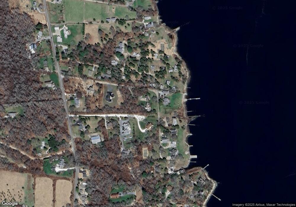
Map
Nearby Homes
- 1702J Drift Rd
- 1702 Drift Rd
- 99 Sylvia Ln
- 1580 Main Rd
- 1881 Main Rd
- 1346 Main Rd Unit B
- 225 Hixbridge Rd
- 920 Drift Rd
- 0 Reed Rd (Ss)
- 332 Division Rd
- Lot 2 Horseneck Rd
- 2 Slades Farm Ln
- 101 Adamsville Rd
- 837 Main Road & Lot 2
- 837 Main Rd
- Lot 2E Horseneck Rd
- 19 Seabury Ln
- 8 Village Way
- 7 Village Way
- 15 Village Way
- 11 Great Island View Rd
- 9 Great Island View Rd
- 7 Great Island View Rd
- 14 Clydes Way
- 13 Great Island View Rd
- 15 Great Island View Rd
- 10 Great Island View Rd
- 1544 Drift Rd
- 8 Clydes Way
- 5 Great Island View Rd
- 14 Great Island View Rd
- 12 Great Island View Rd
- 16 Great Island View Rd
- 2 Clydes Way
- 1 Beechwood Dr
- LOT 1 Beechwood
- 1 Beach Rd
- 3 Great Island View Rd
- 6 Great Island View Rd
- 1546 Drift Rd