1547 Lone Tree Cir Westcliffe, CO 81252
Estimated Value: $449,000 - $923,490
4
Beds
2
Baths
2,880
Sq Ft
$237/Sq Ft
Est. Value
About This Home
This home is located at 1547 Lone Tree Cir, Westcliffe, CO 81252 and is currently estimated at $681,123, approximately $236 per square foot. 1547 Lone Tree Cir is a home located in Custer County with nearby schools including Custer County Elementary School, Custer Middle School, and Custer County High School.
Ownership History
Date
Name
Owned For
Owner Type
Purchase Details
Closed on
Nov 9, 2009
Sold by
Wagner Dan W and Wagner Diana J
Bought by
Adams George E and Adams Ann L
Current Estimated Value
Home Financials for this Owner
Home Financials are based on the most recent Mortgage that was taken out on this home.
Original Mortgage
$75,000
Outstanding Balance
$49,047
Interest Rate
5.03%
Mortgage Type
New Conventional
Estimated Equity
$632,076
Purchase Details
Closed on
May 5, 2005
Sold by
Anderson B Wayne
Bought by
Wagner Dan W and Wagner Diana J
Create a Home Valuation Report for This Property
The Home Valuation Report is an in-depth analysis detailing your home's value as well as a comparison with similar homes in the area
Home Values in the Area
Average Home Value in this Area
Purchase History
| Date | Buyer | Sale Price | Title Company |
|---|---|---|---|
| Adams George E | -- | -- | |
| Wagner Dan W | $230,500 | -- |
Source: Public Records
Mortgage History
| Date | Status | Borrower | Loan Amount |
|---|---|---|---|
| Open | Adams George E | $75,000 |
Source: Public Records
Tax History Compared to Growth
Tax History
| Year | Tax Paid | Tax Assessment Tax Assessment Total Assessment is a certain percentage of the fair market value that is determined by local assessors to be the total taxable value of land and additions on the property. | Land | Improvement |
|---|---|---|---|---|
| 2024 | $2,596 | $44,900 | $0 | $0 |
| 2023 | $2,596 | $44,900 | $0 | $0 |
| 2022 | $2,076 | $32,200 | $7,820 | $24,380 |
| 2021 | $2,128 | $32,200 | $7,820 | $24,380 |
| 2020 | $1,959 | $30,010 | $7,830 | $22,180 |
| 2019 | $1,949 | $30,010 | $7,830 | $22,180 |
| 2018 | $1,774 | $27,160 | $7,880 | $19,280 |
| 2017 | $1,720 | $27,155 | $7,880 | $19,275 |
| 2016 | $1,788 | $29,380 | $8,710 | $20,670 |
| 2015 | -- | $369,134 | $109,440 | $259,694 |
Source: Public Records
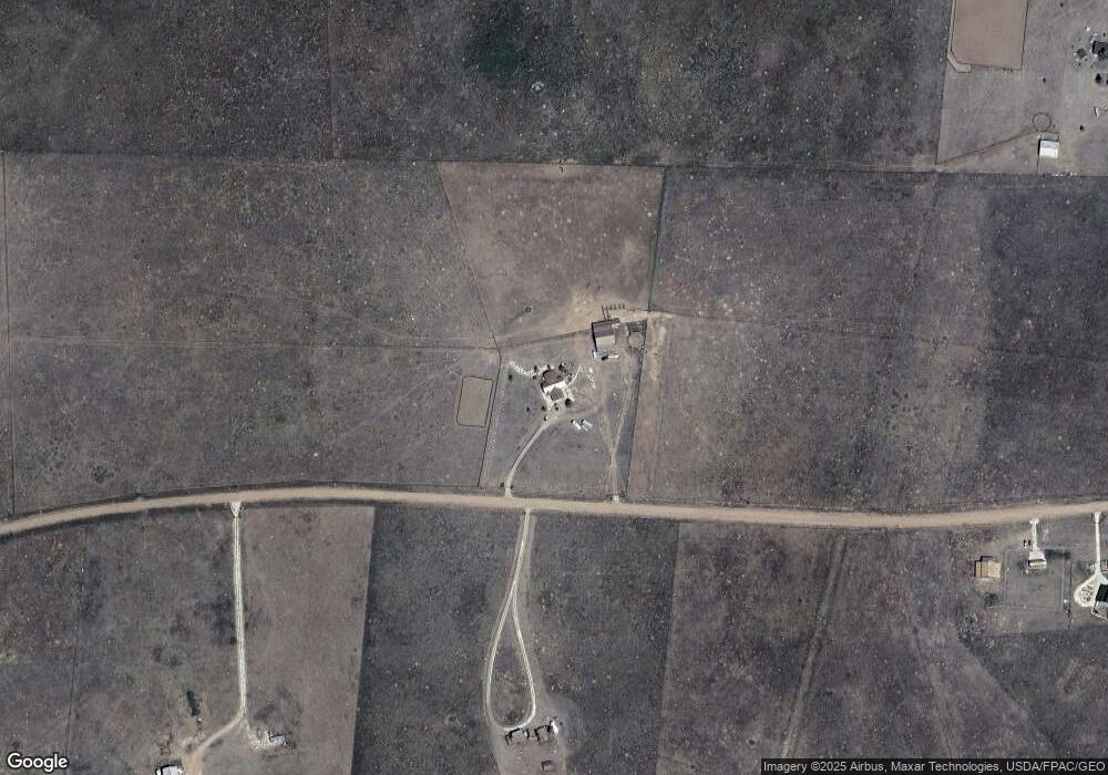
Map
Nearby Homes
- 1660 Lone Tree Cir
- 1970 Cr 241
- 378 Lone Tree Cir
- 1970 County Road 241
- 900 County Rd 241
- 220 Rhonda Rd
- 65 Limerick Ln
- 74 James Ave
- 97 Limerick Ln
- 76 Cork Ln
- 38 Williams Ave
- 54&72 Erin Rd
- TBD County Road 251
- 1560 County Road 251
- TBD Lot 33 County Road 251
- 97 Vista Dr
- 45 Custer Ln
- 76 Windy Way
- 75 Muirfield Dr
- 1498 Lone Tree Cir
- 2008 Lone Tree Cir
- 2585 County Road 241
- TBD Rangeview Dr
- 0 County Road 238
- 2160 County Road 241
- 2000 County Road 241
- 1769 Range View Dr
- 2051 County Road 241
- 1336 Lone Tree Cir
- 235 Haven Rd
- 1985 County Road 241
- 2000 Cr 241
- 501 Rangeview Dr
- 2222 County Road 241
- 620 Lone Tree Cir
- 1966 County Road 241
- 1771 County Road 238
- 1307 Range View Dr
- 2994 County Rd 241 Unit 1