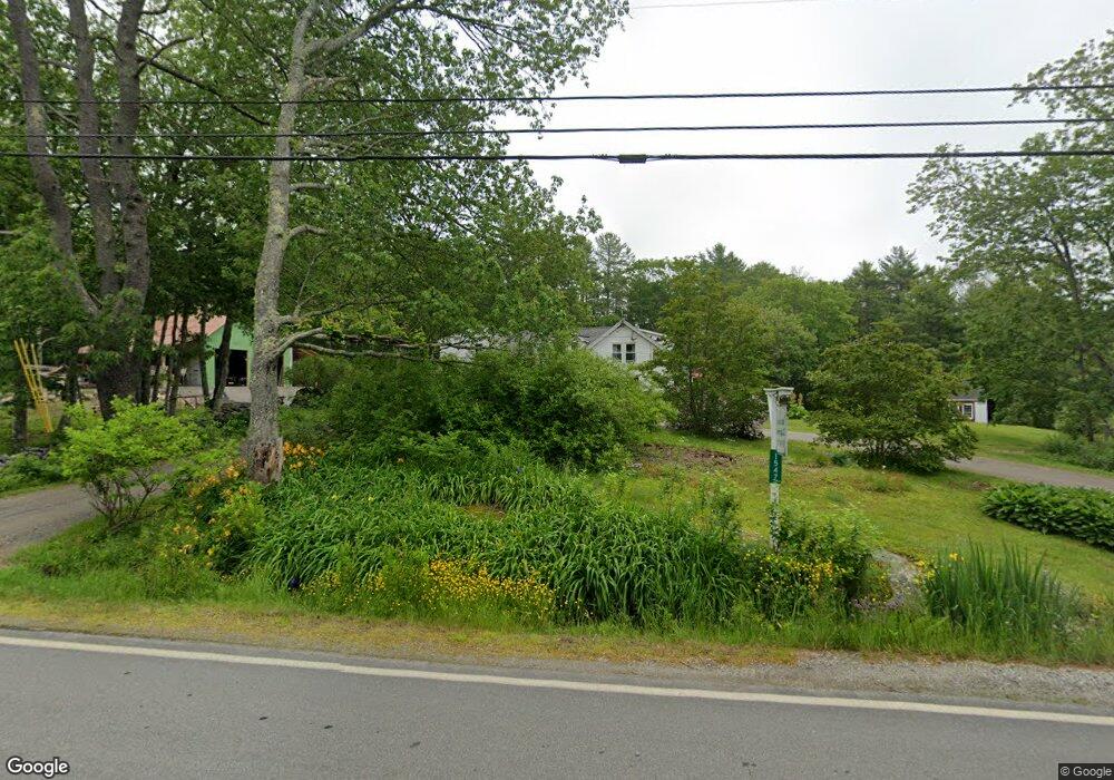
1547 State Route 32 Round Pond, ME 04564
Estimated Value: $545,350 - $747,000
Studio
--
Bath
--
Sq Ft
47,916
Sq Ft Lot
About This Home
This home is located at 1547 State Route 32, Round Pond, ME 04564 and is currently estimated at $642,838. 1547 State Route 32 is a home located in Lincoln County with nearby schools including Bristol Consolidated School.
Ownership History
Date
Name
Owned For
Owner Type
Purchase Details
Closed on
Sep 30, 2014
Sold by
Mathieson Allen
Bought by
Mathieson Sarah C and Cook Mathieson S
Current Estimated Value
Home Financials for this Owner
Home Financials are based on the most recent Mortgage that was taken out on this home.
Original Mortgage
$145,500
Interest Rate
4.12%
Mortgage Type
New Conventional
Purchase Details
Closed on
May 7, 2013
Sold by
Mathieson Allen L
Bought by
Cook-Mathieson Sarah and Cook Mathieson Sarah
Purchase Details
Closed on
Nov 2, 2005
Sold by
Smith Owen
Bought by
Mathieson Allen and Mathieson Sarah
Create a Home Valuation Report for This Property
The Home Valuation Report is an in-depth analysis detailing your home's value as well as a comparison with similar homes in the area
Home Values in the Area
Average Home Value in this Area
Purchase History
| Date | Buyer | Sale Price | Title Company |
|---|---|---|---|
| Mathieson Sarah C | -- | -- | |
| Cook-Mathieson Sarah | -- | -- | |
| Mathieson Allen | -- | -- |
Source: Public Records
Mortgage History
| Date | Status | Borrower | Loan Amount |
|---|---|---|---|
| Closed | Mathieson Sarah C | $145,500 |
Source: Public Records
Tax History
| Year | Tax Paid | Tax Assessment Tax Assessment Total Assessment is a certain percentage of the fair market value that is determined by local assessors to be the total taxable value of land and additions on the property. | Land | Improvement |
|---|---|---|---|---|
| 2024 | $3,736 | $419,800 | $42,000 | $377,800 |
| 2023 | $2,914 | $366,600 | $42,000 | $324,600 |
| 2022 | $2,002 | $278,000 | $42,000 | $236,000 |
| 2021 | $1,976 | $274,400 | $38,400 | $236,000 |
| 2020 | $1,989 | $274,400 | $38,400 | $236,000 |
| 2019 | $1,852 | $274,400 | $38,400 | $236,000 |
| 2018 | $1,715 | $274,400 | $38,400 | $236,000 |
| 2017 | $1,715 | $274,400 | $38,400 | $236,000 |
| 2016 | $1,251 | $158,400 | $18,600 | $139,800 |
| 2015 | $1,338 | $158,400 | $18,600 | $139,800 |
| 2014 | $1,251 | $158,400 | $18,600 | $139,800 |
| 2013 | $1,220 | $158,400 | $18,600 | $139,800 |
Source: Public Records
Map
Nearby Homes
- 072-C Maine 32
- 5 Morrison Rd
- 5 Southern Point Rd
- 31 Hidden Ln
- 31 Viking Way
- Lot 009 Reny Rd
- Lot 068002 Shore Rd
- Lot 068003 Shore Rd
- Lot 68-11 Shore Rd
- 003-D Lakeview Dr
- M4L93 Keene's Island
- Lot 149 Bristol Rd
- 033-1 Bristol Rd
- Map10Lot5 Benner Rd
- Lot #4A Biscay Lake Shores
- 441 Split Rock Rd
- M10L40E4 Christian Hill Rd
- Map10 L39B Christian Hill Rd
- M6L43 Biscay Rd
- 677 Benner Rd
- 1543 State Route 32
- 1563 State Route 32
- 1542 State Route 32
- 1536 State Route 32
- 1531 State Route 32
- 1570 Me-32
- 41 Nickels Rd
- 23 Yates Ln
- 1526 State Route 32
- 1527 State Route 32
- 28 Yates Ln
- 1577 State Route 32
- 1583 State Route 32
- 1514 State Route 32
- 1513 State Route 32
- 1588 State Route 32
- M7L107 Route 32 Rd
- 1500 State Route 32
- 1494 State Route 32
- 34 Boot Rd
Your Personal Tour Guide
Ask me questions while you tour the home.