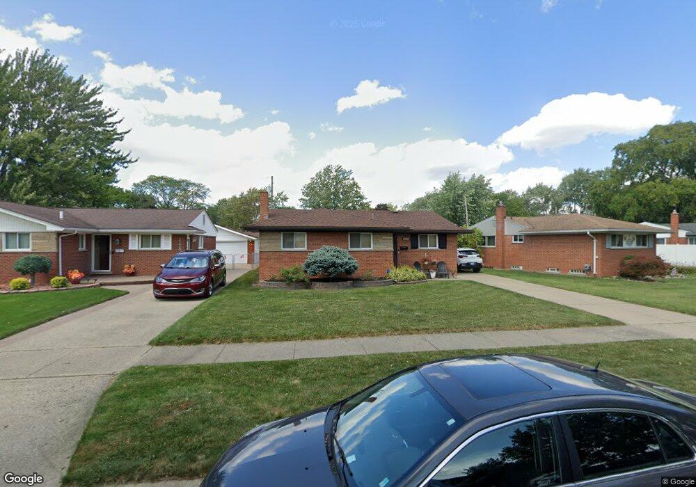
15471 Rudland St Roseville, MI 48066
Estimated Value: $202,000 - $219,387
3
Beds
2
Baths
1,060
Sq Ft
$200/Sq Ft
Est. Value
About This Home
This home is located at 15471 Rudland St, Roseville, MI 48066 and is currently estimated at $212,097, approximately $200 per square foot. 15471 Rudland St is a home located in Macomb County with nearby schools including Mark Twain Elementary School, Richards Middle School, and Fraser High School.
Ownership History
Date
Name
Owned For
Owner Type
Purchase Details
Closed on
May 29, 2020
Sold by
Kapanka Diane and Asman Gail
Bought by
Smith Michael D and Smith Paul
Current Estimated Value
Home Financials for this Owner
Home Financials are based on the most recent Mortgage that was taken out on this home.
Original Mortgage
$135,000
Outstanding Balance
$119,442
Interest Rate
3.1%
Mortgage Type
New Conventional
Estimated Equity
$92,655
Create a Home Valuation Report for This Property
The Home Valuation Report is an in-depth analysis detailing your home's value as well as a comparison with similar homes in the area
Home Values in the Area
Average Home Value in this Area
Purchase History
| Date | Buyer | Sale Price | Title Company |
|---|---|---|---|
| Smith Michael D | $149,000 | None Available |
Source: Public Records
Mortgage History
| Date | Status | Borrower | Loan Amount |
|---|---|---|---|
| Open | Smith Michael D | $135,000 |
Source: Public Records
Tax History Compared to Growth
Tax History
| Year | Tax Paid | Tax Assessment Tax Assessment Total Assessment is a certain percentage of the fair market value that is determined by local assessors to be the total taxable value of land and additions on the property. | Land | Improvement |
|---|---|---|---|---|
| 2025 | $4,067 | $93,700 | $0 | $0 |
| 2024 | $2,429 | $91,600 | $0 | $0 |
| 2023 | $2,329 | $82,700 | $0 | $0 |
| 2022 | $3,628 | $69,400 | $0 | $0 |
| 2021 | $3,524 | $65,000 | $0 | $0 |
| 2020 | $1,209 | $59,100 | $0 | $0 |
| 2019 | $1,566 | $50,900 | $0 | $0 |
| 2018 | $1,611 | $0 | $0 | $0 |
| 2017 | $1,578 | $37,906 | $7,417 | $30,489 |
| 2016 | $1,566 | $37,906 | $0 | $0 |
| 2015 | $1,120 | $33,804 | $0 | $0 |
| 2013 | -- | $31,322 | $0 | $0 |
| 2011 | -- | $37,548 | $0 | $0 |
Source: Public Records
Map
Nearby Homes
- 15457 Everly St
- 15225 Common Rd
- 15797 Common Rd
- 30464 Hayes Rd
- 15867 Loreto St
- 30644 Hayes Rd
- 30324 Glenwood Cir
- 15469 Grovedale St
- 30607 Glenwood Cir
- 15102 Raphael Terrace Unit K67
- 29448 El Dorado Plaza
- 29201 Hayes Rd Unit G8
- 29273 Rd
- 29249 Hayes #74 Rd Unit 74
- 29304 Gloede Dr Unit 4
- 29304 Gloede Dr
- 31070 Hayes Rd
- 29101 Hayes Rd
- 31263 Hayes Rd
- 31467 Edwood Dr
- 15459 Rudland St
- 15485 Rudland St
- 15447 Rudland St
- 15470 Everly St
- 15458 Everly St
- 15499 Rudland St
- 15484 Everly St
- 15435 Rudland St
- 15446 Everly St
- 15472 Rudland St
- 15460 Rudland St
- 15480 Rudland St
- 15434 Everly St
- 15448 Rudland St
- 15423 Rudland St
- 30065 Blossom St
- 15488 Rudland St
- 15436 Rudland St
- 15422 Everly St
- 15411 Rudland St