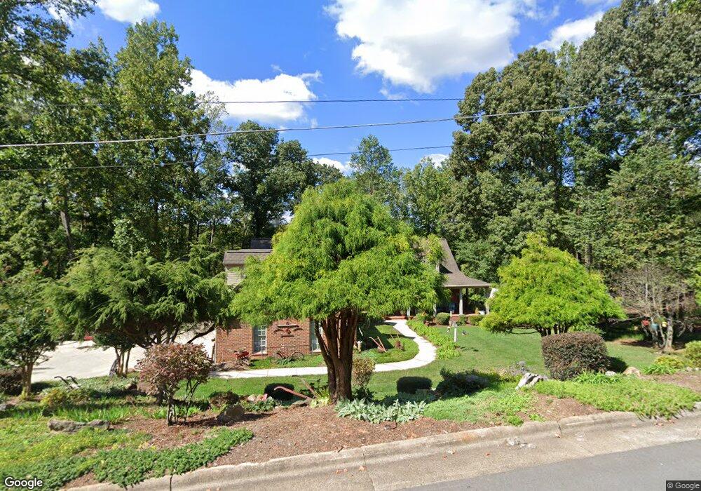
1548 Brentwood Cir Newton, NC 28658
Estimated Value: $508,000 - $718,000
3
Beds
5
Baths
4,365
Sq Ft
$147/Sq Ft
Est. Value
About This Home
This home is located at 1548 Brentwood Cir, Newton, NC 28658 and is currently estimated at $640,251, approximately $146 per square foot. 1548 Brentwood Cir is a home located in Catawba County with nearby schools including South Newton Elementary School, Newton-Conover Middle School, and Newton-Conover High School.
Ownership History
Date
Name
Owned For
Owner Type
Purchase Details
Closed on
Nov 1, 2017
Sold by
Brown Betty J
Bought by
Mccuisition Devrie
Current Estimated Value
Purchase Details
Closed on
Nov 28, 2006
Sold by
Barbour Jeffrey C and Barbour Lorinda V
Bought by
Dawson Rodger W and Dawson Darlene M
Home Financials for this Owner
Home Financials are based on the most recent Mortgage that was taken out on this home.
Original Mortgage
$306,000
Interest Rate
5.5%
Mortgage Type
Purchase Money Mortgage
Purchase Details
Closed on
Mar 1, 1997
Bought by
Drum Forrest Edward and Drum Peggy R
Create a Home Valuation Report for This Property
The Home Valuation Report is an in-depth analysis detailing your home's value as well as a comparison with similar homes in the area
Home Values in the Area
Average Home Value in this Area
Purchase History
| Date | Buyer | Sale Price | Title Company |
|---|---|---|---|
| Mccuisition Devrie | $195,000 | None Available | |
| Dawson Rodger W | $390,000 | None Available | |
| Drum Forrest Edward | $37,500 | -- |
Source: Public Records
Mortgage History
| Date | Status | Borrower | Loan Amount |
|---|---|---|---|
| Previous Owner | Dawson Rodger W | $306,000 |
Source: Public Records
Tax History Compared to Growth
Tax History
| Year | Tax Paid | Tax Assessment Tax Assessment Total Assessment is a certain percentage of the fair market value that is determined by local assessors to be the total taxable value of land and additions on the property. | Land | Improvement |
|---|---|---|---|---|
| 2025 | $4,832 | $569,500 | $30,000 | $539,500 |
| 2024 | $4,832 | $569,500 | $30,000 | $539,500 |
| 2023 | $4,832 | $569,500 | $30,000 | $539,500 |
| 2022 | $4,140 | $371,300 | $30,000 | $341,300 |
| 2021 | $4,140 | $371,300 | $30,000 | $341,300 |
| 2020 | $4,140 | $371,300 | $30,000 | $341,300 |
| 2019 | $4,140 | $371,300 | $0 | $0 |
| 2018 | $3,667 | $328,900 | $30,000 | $298,900 |
| 2017 | $3,667 | $0 | $0 | $0 |
| 2016 | $3,667 | $0 | $0 | $0 |
| 2015 | $4,044 | $328,890 | $30,000 | $298,890 |
| 2014 | $4,044 | $400,400 | $35,200 | $365,200 |
Source: Public Records
Map
Nearby Homes
- 108 Pinehurst Ln
- 1401 Brentwood Dr
- 1401 Southwest Blvd
- 409 Cardinal Dr
- 230 Park Ln
- 425 E N St
- 1478 Glenoaks Dr
- 426B E N St
- 1633 Fulbright Dr
- 743 S College Ave
- 1127 Mckay Rd
- 103 W Herman St
- 1241 E I St Unit 20
- 1251 E I St
- 2168 Sterling Ridge Dr
- 624 Overlook Dr
- 2194 Sterling Ridge Dr
- 406 S Caldwell Ave
- 355 S College Ave
- 2264 Picnic Dr
- 1552 Brentwood Cir
- 1544 Brentwood Cir Unit 20
- 221 Oak Cir
- 1547 Brentwood Cir
- 0 Oak Cir
- 1506 Brentwood Cir
- 216 Brentwood Cir
- 219 Pinehurst Ln
- 215 Pinehurst Ln
- 229 Oak Cir
- 29 Oak Cir
- 1714 Brentwood Ct Unit 16
- 1714 Brentwood Ct
- 0 Brentwood Cir
- 1705 Brentwood Ct
- 210 Brentwood Cir
- 207 Pinehurst Ln
- 224 Pinehurst Ln
- 214 Pinehurst Ln
- 1706 Brentwood Dr