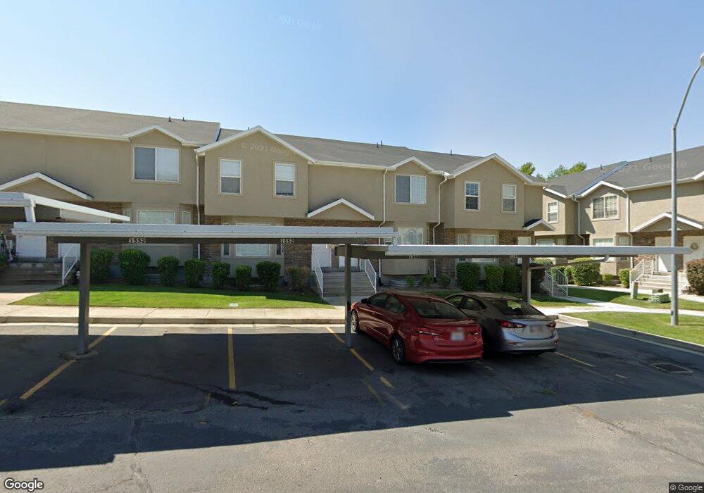
1548 E 1350 S Provo, UT 84606
Provost NeighborhoodEstimated Value: $403,733 - $420,000
4
Beds
4
Baths
2,078
Sq Ft
$198/Sq Ft
Est. Value
About This Home
This home is located at 1548 E 1350 S, Provo, UT 84606 and is currently estimated at $411,911, approximately $198 per square foot. 1548 E 1350 S is a home located in Utah County with nearby schools including Spring Creek Elementary School, Centennial Middle School, and Timpview High School.
Ownership History
Date
Name
Owned For
Owner Type
Purchase Details
Closed on
Jun 8, 2023
Sold by
Merrell Maegan Jalaine-Ellis
Bought by
Merrell Maegan Jalaine-Elli and Merrell Keaton David
Current Estimated Value
Purchase Details
Closed on
Aug 11, 2020
Sold by
Andrews Jack D
Bought by
Merrell Maegan Jalaine Ellis
Home Financials for this Owner
Home Financials are based on the most recent Mortgage that was taken out on this home.
Original Mortgage
$275,500
Interest Rate
2.9%
Mortgage Type
New Conventional
Purchase Details
Closed on
Jan 21, 2004
Sold by
D R Horton Inc
Bought by
Andrews Jack D
Home Financials for this Owner
Home Financials are based on the most recent Mortgage that was taken out on this home.
Original Mortgage
$135,400
Interest Rate
4.5%
Mortgage Type
Purchase Money Mortgage
Create a Home Valuation Report for This Property
The Home Valuation Report is an in-depth analysis detailing your home's value as well as a comparison with similar homes in the area
Home Values in the Area
Average Home Value in this Area
Purchase History
| Date | Buyer | Sale Price | Title Company |
|---|---|---|---|
| Merrell Maegan Jalaine-Elli | -- | Bartlett Title | |
| Merrell Maegan Jalaine Ellis | -- | Trident Title Ins Agency | |
| Andrews Jack D | -- | Surety Title |
Source: Public Records
Mortgage History
| Date | Status | Borrower | Loan Amount |
|---|---|---|---|
| Previous Owner | Merrell Maegan Jalaine Ellis | $275,500 | |
| Previous Owner | Andrews Jack D | $135,400 |
Source: Public Records
Tax History
| Year | Tax Paid | Tax Assessment Tax Assessment Total Assessment is a certain percentage of the fair market value that is determined by local assessors to be the total taxable value of land and additions on the property. | Land | Improvement |
|---|---|---|---|---|
| 2025 | $2,119 | $208,505 | -- | -- |
| 2024 | $2,119 | $208,615 | $0 | $0 |
| 2023 | $2,066 | $200,475 | $0 | $0 |
| 2022 | $2,068 | $202,345 | $0 | $0 |
| 2021 | $1,621 | $276,600 | $41,500 | $235,100 |
| 2020 | $1,613 | $258,000 | $38,700 | $219,300 |
| 2019 | $1,491 | $248,000 | $32,500 | $215,500 |
| 2018 | $1,345 | $227,000 | $29,000 | $198,000 |
| 2017 | $1,192 | $110,550 | $0 | $0 |
| 2016 | $1,190 | $102,850 | $0 | $0 |
| 2015 | $1,141 | $99,660 | $0 | $0 |
| 2014 | $1,011 | $92,015 | $0 | $0 |
Source: Public Records
Map
Nearby Homes
- 1482 E 1280 S
- 1154 S 1430 E
- 1105 S 1420 E
- 1261 E 1500 S
- 1077 Canyon Meadow Dr Unit 7
- 1052 Canyon Meadow Dr Unit 4
- 1141 E 1320 S Unit A404
- 1141 E 1320 S Unit B401
- 1141 E 1320 S Unit D104
- 1141 E 1320 S Unit D303
- 1225 E 1600 South St Unit 12
- 1225 E 1600 South St Unit 4
- 1778 S Buckley Ln
- 1332 Cinnamon Ridge Way
- 1304 E 900 S
- 1754 California Ave
- 1263 S 1000 E
- 1184 S 1000 E
- 1156 S 1000 E
- 1417 E 700 S
- 1552 E 1350 S
- 1544 E 1350 S
- 1556 E 1350 S
- 1562 E 1350 S
- 1366 S 1550 E
- 1362 S 1550 E
- 1362 S 1550 E Unit AA-2
- 1358 S 1550 E
- 1358 S 1550 E Unit AA3
- 1566 E 1350 S
- 1354 S 1550 E Unit 4
- 1346 S 1550 E
- 1342 S 1550 E
- 1578 E 1350 S
- 1369 S 1500 E
- 1369 S 1500 E Unit 31D
- 1365 S 1500 E
- 1365 S 1500 E Unit 31C
- 1338 S 1550 E
- 1328 S 1550 E
Your Personal Tour Guide
Ask me questions while you tour the home.