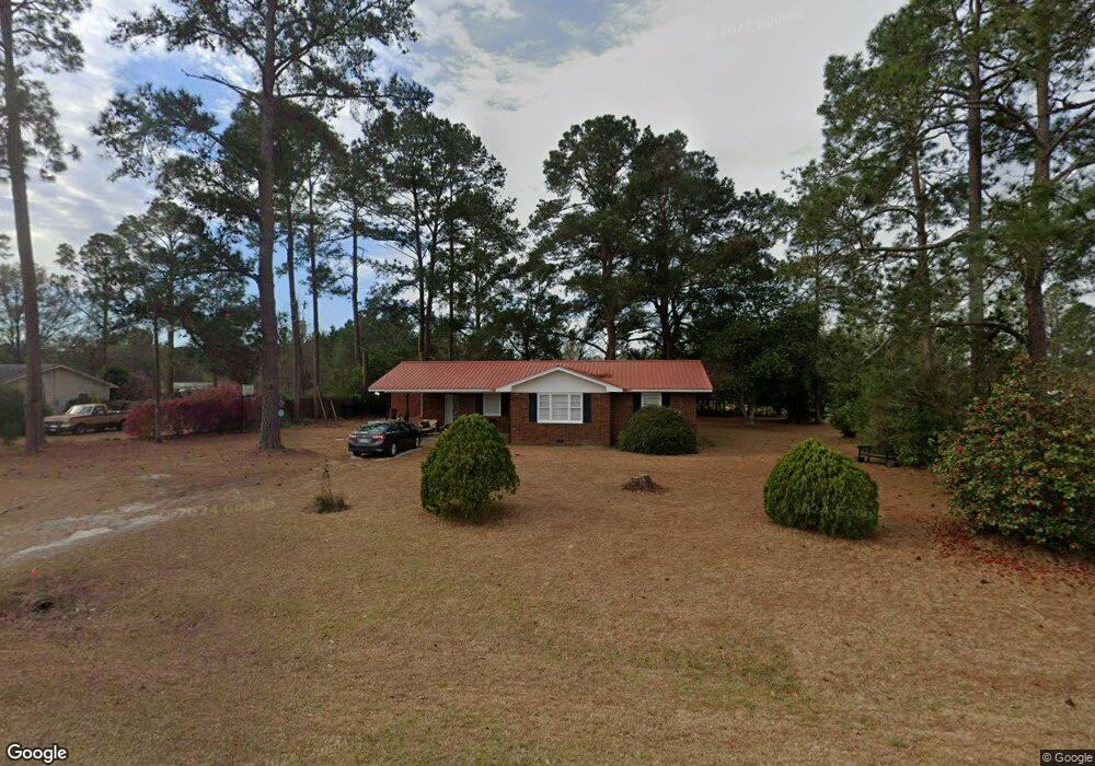
15481 Ga Highway 129 N Claxton, GA 30417
Estimated Value: $90,000 - $122,000
3
Beds
2
Baths
952
Sq Ft
$113/Sq Ft
Est. Value
About This Home
This home is located at 15481 Ga Highway 129 N, Claxton, GA 30417 and is currently estimated at $107,751, approximately $113 per square foot. 15481 Ga Highway 129 N is a home located in Evans County with nearby schools including Claxton Elementary School, Second Chance, and Claxton Middle School.
Ownership History
Date
Name
Owned For
Owner Type
Purchase Details
Closed on
Dec 11, 2017
Sold by
Hendrix Aubrey Carroll
Bought by
Irving Dana
Current Estimated Value
Home Financials for this Owner
Home Financials are based on the most recent Mortgage that was taken out on this home.
Original Mortgage
$53,164
Outstanding Balance
$44,538
Interest Rate
3.75%
Mortgage Type
FHA
Estimated Equity
$63,213
Purchase Details
Closed on
Jun 5, 2006
Sold by
Hendrix Aubrey H
Bought by
Hendrix Aubrey Carroll
Purchase Details
Closed on
Feb 14, 1986
Sold by
Haire Neva K
Bought by
Hendrix Aubrey H
Create a Home Valuation Report for This Property
The Home Valuation Report is an in-depth analysis detailing your home's value as well as a comparison with similar homes in the area
Home Values in the Area
Average Home Value in this Area
Purchase History
| Date | Buyer | Sale Price | Title Company |
|---|---|---|---|
| Irving Dana | $55,000 | -- | |
| Hendrix Aubrey Carroll | -- | -- | |
| Hendrix Aubrey H | -- | -- |
Source: Public Records
Mortgage History
| Date | Status | Borrower | Loan Amount |
|---|---|---|---|
| Open | Irving Dana | $53,164 |
Source: Public Records
Tax History Compared to Growth
Tax History
| Year | Tax Paid | Tax Assessment Tax Assessment Total Assessment is a certain percentage of the fair market value that is determined by local assessors to be the total taxable value of land and additions on the property. | Land | Improvement |
|---|---|---|---|---|
| 2024 | $1,045 | $34,616 | $1,720 | $32,896 |
| 2023 | $659 | $21,936 | $2,080 | $19,856 |
| 2022 | $563 | $21,936 | $2,080 | $19,856 |
| 2021 | $666 | $21,936 | $2,080 | $19,856 |
| 2020 | $664 | $21,776 | $2,080 | $19,696 |
| 2019 | $631 | $21,776 | $2,080 | $19,696 |
| 2018 | $834 | $21,416 | $2,080 | $19,336 |
| 2017 | $759 | $21,776 | $2,080 | $19,696 |
| 2016 | $764 | $21,348 | $1,480 | $19,868 |
| 2015 | -- | $21,628 | $1,480 | $20,148 |
| 2014 | -- | $21,628 | $1,480 | $20,148 |
| 2013 | -- | $21,948 | $1,480 | $20,468 |
Source: Public Records
Map
Nearby Homes
- 15683 Ga Highway 129 N
- 1302 Jim Sapp Rd
- 628 Riverside Dr
- 1200 Riverside Dr
- 352 Riverside Dr
- 1377 Hillside Dr
- 0 Dr
- 101 Ridge Dr
- 0 Dublin Rd
- 308 Old Metter Rd
- 0 Turnpike Rd Unit SA339603
- 19 Collins St
- 147 Creek Ridge Rd
- 0 Hendrix Bridge Rd
- 179 Creek Ridge Rd
- 610 W Liberty St
- 6 N Spring St
- 17939 Ga Hwy 169 Hwy
- 29 Grove Ln
- 3 S Spring St
- 15481 Highway 129
- 15445 Ga Highway 129 N
- 15383 Ga Highway 129 N
- 15339 Ga Highway 129 N
- 15621 Ga Highway 129 N
- 1313 Myrtle Rd
- 15283 Ga Highway 129 N
- 15249 Ga Highway 129 N
- 1402 Tupelo Dr
- 1318 Myrtle Rd
- 1406 Tupelo Dr
- 1410 Tupelo Dr
- 1414 Tupelo Dr
- 735 Firetower Cir
- 1329 Myrtle Rd
- 1418 Tupelo Dr
- 681 Firetower Cir
- 15706 Ga Highway 129 N
- 103 Richey Dr
- 623 Firetower Cir