15482 Morrison Ln Brookings, OR 97415
Estimated Value: $623,369 - $653,000
4
Beds
3
Baths
2,050
Sq Ft
$311/Sq Ft
Est. Value
About This Home
This home is located at 15482 Morrison Ln, Brookings, OR 97415 and is currently estimated at $638,185, approximately $311 per square foot. 15482 Morrison Ln is a home located in Curry County with nearby schools including Kalmiopsis Elementary School, Azalea Middle School, and Brookings-Harbor High School.
Ownership History
Date
Name
Owned For
Owner Type
Purchase Details
Closed on
Dec 16, 2020
Sold by
Meier Donald Arthur and Meler Donald Arthur
Bought by
Rollings Todd Wayne and Rollings Kimberly Kay
Current Estimated Value
Home Financials for this Owner
Home Financials are based on the most recent Mortgage that was taken out on this home.
Original Mortgage
$150,000
Outstanding Balance
$90,116
Interest Rate
2.7%
Mortgage Type
New Conventional
Estimated Equity
$548,069
Purchase Details
Closed on
Sep 20, 2005
Sold by
Meier Donald Arthur and Meier Anneliese
Bought by
Meier Donald Arthur and Meier Anneliese
Create a Home Valuation Report for This Property
The Home Valuation Report is an in-depth analysis detailing your home's value as well as a comparison with similar homes in the area
Home Values in the Area
Average Home Value in this Area
Purchase History
| Date | Buyer | Sale Price | Title Company |
|---|---|---|---|
| Rollings Todd Wayne | $450,000 | Amerititle | |
| Meier Donald Arthur | -- | First American Title Co |
Source: Public Records
Mortgage History
| Date | Status | Borrower | Loan Amount |
|---|---|---|---|
| Open | Rollings Todd Wayne | $150,000 |
Source: Public Records
Tax History Compared to Growth
Tax History
| Year | Tax Paid | Tax Assessment Tax Assessment Total Assessment is a certain percentage of the fair market value that is determined by local assessors to be the total taxable value of land and additions on the property. | Land | Improvement |
|---|---|---|---|---|
| 2024 | $2,475 | $417,890 | -- | -- |
| 2023 | $2,403 | $405,720 | $0 | $0 |
| 2022 | $2,333 | $393,910 | $0 | $0 |
| 2021 | $2,265 | $382,440 | $0 | $0 |
| 2020 | $2,243 | $344,080 | $0 | $0 |
| 2019 | $1,996 | $334,060 | $0 | $0 |
| 2018 | $2,167 | $324,330 | $0 | $0 |
| 2017 | $2,078 | $318,180 | $0 | $0 |
| 2016 | $2,033 | $305,000 | $0 | $0 |
| 2015 | $1,956 | $305,730 | $0 | $0 |
| 2014 | $1,956 | $292,860 | $0 | $0 |
Source: Public Records
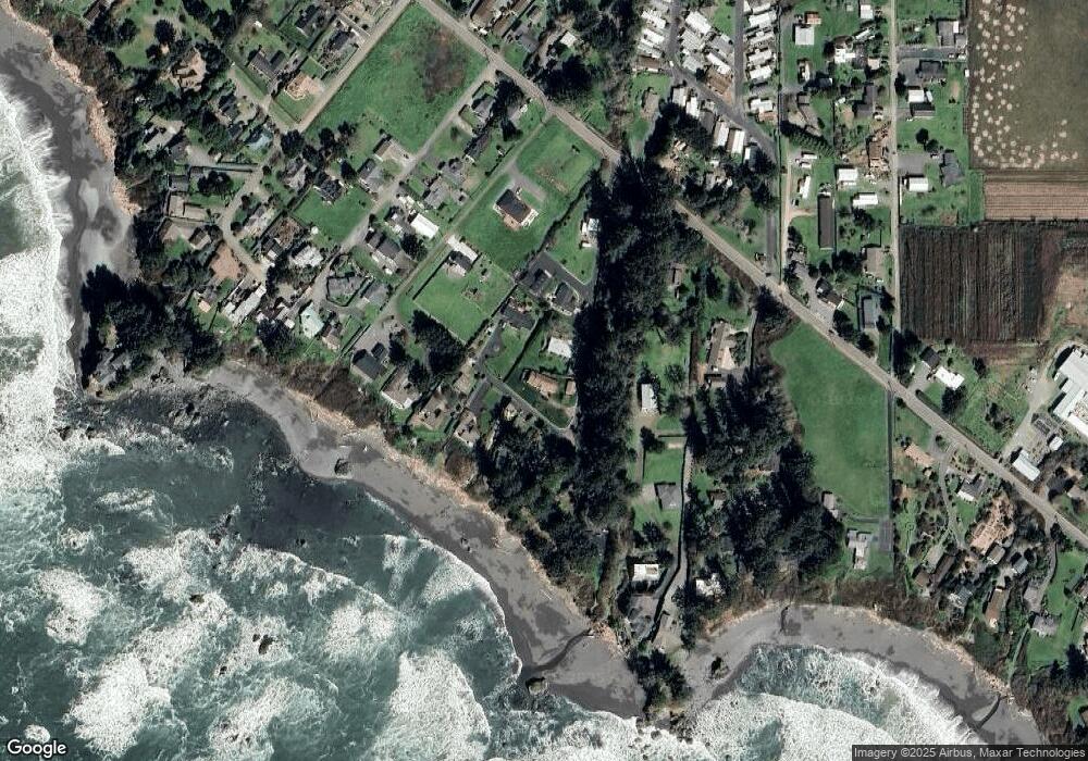
Map
Nearby Homes
- 15422 Southwind Ln
- 15505 Oceanview Dr Unit 16
- 0 Oceanview Dr Unit 387796081
- 15609 Highway 101 S
- 15765 Highway 101 S Unit 9
- 97950 Holly Ln
- 15780 Pelican Bay Dr
- 15819 U S 101
- 15289 Oceanview Dr
- 15870 Pedrioli Dr
- 98045 Olsen Ln Unit 6
- 0 Pelican Bay Dr Unit 900 412485014
- 0 Sea Breeze Unit 19 23659304
- 0 Sea Breeze Unit 18 21244669
- 98147 W Nelson Dr
- 97997 Olsen Ln
- 00 Sea Court Ln
- 98126 W Benham Ln Unit 68
- 98126 W Benham Ln Unit 7
- 98126 W Benham Ln Unit 14
- 15488 Morrison Ln
- 15532 Oceanview Dr
- 15532 Oceanview Dr
- 15452 Morrison Ln
- 15450 Morrison Ln
- 15443 Morrison Ln
- 15446 Morrison Ln
- 15464 Morrison Ln
- 15460 Morrison Ln
- 15440 Morrison Ln
- 15502 Morrison Ln
- 15462 Morrison Ln
- 15500 Vista View Ln
- 15531 Vista View Ln
- 15486 Vista View Dr
- 15522 Morrison Ln
- 15520 Oceanview Dr
- 15480 Southwind Ln