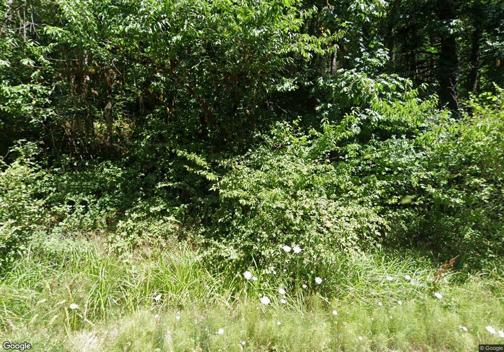
15483 S Graves Rd Mulino, OR 97042
Estimated Value: $699,000 - $1,234,000
3
Beds
3
Baths
2,566
Sq Ft
$366/Sq Ft
Est. Value
About This Home
This home is located at 15483 S Graves Rd, Mulino, OR 97042 and is currently estimated at $938,396, approximately $365 per square foot. 15483 S Graves Rd is a home located in Clackamas County.
Ownership History
Date
Name
Owned For
Owner Type
Purchase Details
Closed on
Jun 5, 2009
Sold by
Olson David M and Olson Stephanie R
Bought by
Olson David M and Olson Stephanie R
Current Estimated Value
Home Financials for this Owner
Home Financials are based on the most recent Mortgage that was taken out on this home.
Original Mortgage
$395,222
Outstanding Balance
$248,903
Interest Rate
4.79%
Mortgage Type
FHA
Estimated Equity
$689,493
Purchase Details
Closed on
Mar 26, 2001
Sold by
Olson David M and Morrill Stephanie R
Bought by
Olson David M and Olson Stephanie R
Home Financials for this Owner
Home Financials are based on the most recent Mortgage that was taken out on this home.
Original Mortgage
$275,000
Interest Rate
7.06%
Mortgage Type
Purchase Money Mortgage
Purchase Details
Closed on
Sep 24, 1999
Sold by
Green Thomas J and Green Susan M
Bought by
Olson David M and Morrill Stephanie R
Home Financials for this Owner
Home Financials are based on the most recent Mortgage that was taken out on this home.
Original Mortgage
$240,000
Interest Rate
7.76%
Mortgage Type
Purchase Money Mortgage
Create a Home Valuation Report for This Property
The Home Valuation Report is an in-depth analysis detailing your home's value as well as a comparison with similar homes in the area
Home Values in the Area
Average Home Value in this Area
Purchase History
| Date | Buyer | Sale Price | Title Company |
|---|---|---|---|
| Olson David M | -- | None Available | |
| Olson David M | -- | Oregon Title Insurance Co | |
| Olson David M | $335,200 | Fidelity National Title Co |
Source: Public Records
Mortgage History
| Date | Status | Borrower | Loan Amount |
|---|---|---|---|
| Open | Olson David M | $395,222 | |
| Closed | Olson David M | $275,000 | |
| Closed | Olson David M | $240,000 | |
| Closed | Olson David M | $61,680 |
Source: Public Records
Tax History Compared to Growth
Tax History
| Year | Tax Paid | Tax Assessment Tax Assessment Total Assessment is a certain percentage of the fair market value that is determined by local assessors to be the total taxable value of land and additions on the property. | Land | Improvement |
|---|---|---|---|---|
| 2025 | $5,186 | $377,987 | -- | -- |
| 2024 | $5,021 | $366,983 | -- | -- |
| 2023 | $5,021 | $356,296 | $0 | $0 |
| 2022 | $4,194 | $345,917 | $0 | $0 |
| 2021 | $4,005 | $335,836 | $0 | $0 |
| 2020 | $3,897 | $326,053 | $0 | $0 |
| 2019 | $3,786 | $316,560 | $0 | $0 |
| 2018 | $3,684 | $307,348 | $0 | $0 |
| 2017 | $3,483 | $298,393 | $0 | $0 |
| 2016 | $3,271 | $289,703 | $0 | $0 |
| 2015 | $3,180 | $281,263 | $0 | $0 |
| 2014 | $3,038 | $273,075 | $0 | $0 |
Source: Public Records
Map
Nearby Homes
- 15693 S Hidden Rd
- 14980 S Buckner Creek Rd
- 26250 S Milk Creek Cir
- 16428 S Buckner Creek Rd
- 0000 S Buckner Creek Rd
- 0 S Ranch Hills Rd
- 13920 S Lucia Ln
- 13511 S Freeman Rd
- 15441 S Union Mills Rd
- 14001 S Union Mills Rd
- 15678 S Spangler Rd
- 28381 S Salo Rd
- 24450 S Highway 213
- 26740 S Fish Rd
- 26684 S Fish Rd
- 23501 S Beatie Rd
- 28502 S Highway 213
- 28502 Oregon 213
- 23942 S Powder Rd
- 29333 S Marshall Rd
- 15383 S Graves Rd
- 26464 S Burns Rd
- 15304 S Graves Rd
- 15244 S Graves Rd
- 15523 S Graves Rd
- 15573 S Graves Rd
- 26555 S Burns Rd
- 0 S Hidden Rd
- 15164 S Graves Rd
- 15663 S Graves Rd
- 15149 S Graves Rd
- 15144 S Graves Rd
- 26585 S Burns Rd
- 15665 S Graves Rd
- 26621 S Burns Rd
- 15004 S Graves Rd
- 15114 S Graves Rd
- 26727 S Burns Rd
- 15242 S Buckner Creek Rd
- 15944 S Hidden Rd
