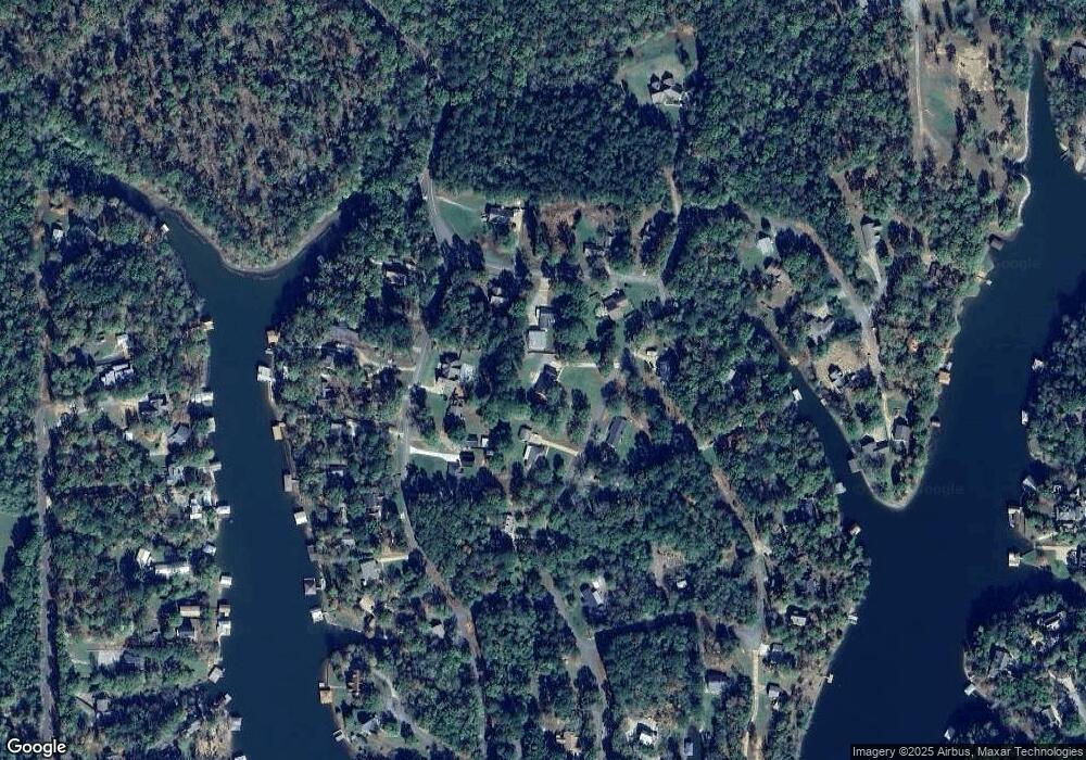
15485 Beacon Point Dr Northport, AL 35475
Estimated Value: $331,268 - $445,000
3
Beds
1
Bath
1,943
Sq Ft
$205/Sq Ft
Est. Value
About This Home
This home is located at 15485 Beacon Point Dr, Northport, AL 35475 and is currently estimated at $397,567, approximately $204 per square foot. 15485 Beacon Point Dr is a home located in Tuscaloosa County with nearby schools including Walker Elementary School, Northside Middle School, and Northside High School.
Ownership History
Date
Name
Owned For
Owner Type
Purchase Details
Closed on
Sep 12, 2017
Sold by
Lance Bailey D
Bought by
Champion Phillip Brian and Champion Kimberly D
Current Estimated Value
Home Financials for this Owner
Home Financials are based on the most recent Mortgage that was taken out on this home.
Original Mortgage
$188,030
Outstanding Balance
$159,080
Interest Rate
4.4%
Mortgage Type
FHA
Estimated Equity
$238,487
Purchase Details
Closed on
Feb 28, 2006
Sold by
Hudson Ross
Bought by
Sanford Jeffrey Boyd and Sanford Lori M
Create a Home Valuation Report for This Property
The Home Valuation Report is an in-depth analysis detailing your home's value as well as a comparison with similar homes in the area
Home Values in the Area
Average Home Value in this Area
Purchase History
| Date | Buyer | Sale Price | Title Company |
|---|---|---|---|
| Champion Phillip Brian | $191,500 | -- | |
| Sanford Jeffrey Boyd | $206,500 | -- |
Source: Public Records
Mortgage History
| Date | Status | Borrower | Loan Amount |
|---|---|---|---|
| Open | Champion Phillip Brian | $188,030 |
Source: Public Records
Tax History Compared to Growth
Tax History
| Year | Tax Paid | Tax Assessment Tax Assessment Total Assessment is a certain percentage of the fair market value that is determined by local assessors to be the total taxable value of land and additions on the property. | Land | Improvement |
|---|---|---|---|---|
| 2024 | $635 | $32,760 | $3,620 | $29,140 |
| 2023 | $542 | $33,560 | $3,620 | $29,940 |
| 2022 | $564 | $33,960 | $3,620 | $30,340 |
| 2021 | $579 | $34,760 | $3,620 | $31,140 |
| 2020 | $676 | $20,010 | $1,810 | $18,200 |
| 2019 | $676 | $20,010 | $1,810 | $18,200 |
| 2018 | $620 | $18,510 | $1,810 | $16,700 |
| 2017 | $622 | $0 | $0 | $0 |
| 2016 | $597 | $0 | $0 | $0 |
| 2015 | $597 | $0 | $0 | $0 |
| 2014 | $597 | $17,890 | $1,810 | $16,080 |
Source: Public Records
Map
Nearby Homes
- 15762 Beacon Point Dr
- 15693 Compass Dr
- 15550 Beacon Point Dr
- 15923 Lake Hills Dr
- 9 Cedar Ridge Dr
- 23 Cedar Ridge Dr
- 06 Cedar Ridge Dr
- 12 Cedar Ridge Dr
- 10 Cedar Ridge Dr
- 11 Cedar Ridge Dr
- 7 Cedar Ridge Dr
- 22 Cedar Ridge Dr
- 12245 Country Club Dr
- 00 Country Club Dr
- 15770 Edwardian Dr
- 11637 Tierce Patton Rd
- 15 Freeman's Bend Rd
- 13755 Country Club Dr
- 11054 Patton Cir
- 11760 High Cliff Dr
- 11240 Lighthouse Rd
- 11222 Lighthouse Rd
- 15733 Beacon Point Dr
- 15492 Beacon Point Dr
- 15713 Compass Dr
- 11258 Lighthouse Rd
- 15727 Beacon Point Dr
- 15508 Beacon Point Dr
- 15717 Beacon Point Dr
- 11241 Lighthouse Rd
- 11227 Lighthouse Rd
- 15465 Beacon Point Dr
- 15449 Beacon Point Dr
- 15517 Beacon Point Dr
- 11215 Lighthouse Rd
- 11257 Lighthouse Rd
- 15679 Compass Dr
- 15746 Beacon Point Dr
- 15752 Beacon Point Dr
- 15736 Beacon Point Dr
