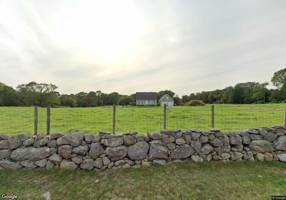
1549 Main Rd Westport, MA 02790
Westport Point NeighborhoodEstimated Value: $855,000 - $1,146,536
3
Beds
--
Bath
1,764
Sq Ft
$564/Sq Ft
Est. Value
About This Home
This home is located at 1549 Main Rd, Westport, MA 02790 and is currently estimated at $994,134, approximately $563 per square foot. 1549 Main Rd is a home with nearby schools including Alice A. Macomber Primary School, Westport Elementary School, and Westport Middle-High School.
Create a Home Valuation Report for This Property
The Home Valuation Report is an in-depth analysis detailing your home's value as well as a comparison with similar homes in the area
Home Values in the Area
Average Home Value in this Area
Tax History Compared to Growth
Tax History
| Year | Tax Paid | Tax Assessment Tax Assessment Total Assessment is a certain percentage of the fair market value that is determined by local assessors to be the total taxable value of land and additions on the property. | Land | Improvement |
|---|---|---|---|---|
| 2025 | $6,458 | $866,800 | $529,700 | $337,100 |
| 2024 | $6,351 | $821,600 | $490,800 | $330,800 |
| 2023 | $4,604 | $564,200 | $254,300 | $309,900 |
| 2022 | $4,416 | $520,800 | $254,300 | $266,500 |
| 2021 | $4,274 | $495,800 | $231,200 | $264,600 |
| 2020 | $4,102 | $486,600 | $222,000 | $264,600 |
| 2019 | $3,956 | $478,300 | $222,000 | $256,300 |
| 2018 | $3,797 | $464,700 | $228,700 | $236,000 |
| 2017 | $3,871 | $485,700 | $247,500 | $238,200 |
| 2016 | $3,939 | $498,000 | $268,700 | $229,300 |
| 2015 | $3,715 | $468,500 | $249,900 | $218,600 |
Source: Public Records
Map
Nearby Homes
- 1580 Main Rd
- 1749 Main Rd
- 1346 Main Rd Unit B
- 1702J Drift Rd
- 1881 Main Rd
- 1702 Drift Rd
- 99 Sylvia Ln
- 19 Seabury Ln
- 225 Hixbridge Rd
- 17 Quail Trail
- 920 Drift Rd
- 101 Adamsville Rd
- 245 John Dyer Rd
- 837 Main Rd
- 255 John Dyer Rd
- 8 Village Way
- 7 Village Way
- 15 Village Way
- 189 Brayton Point Rd
- 116 Amy Hart Path