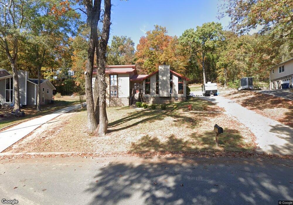
1549 Napoleon Dr Alabaster, AL 35007
Estimated Value: $250,000 - $312,876
--
Bed
1
Bath
1,534
Sq Ft
$184/Sq Ft
Est. Value
About This Home
This home is located at 1549 Napoleon Dr, Alabaster, AL 35007 and is currently estimated at $282,469, approximately $184 per square foot. 1549 Napoleon Dr is a home located in Shelby County with nearby schools including Thompson Intermediate School, Thompson Middle School, and Thompson High School.
Ownership History
Date
Name
Owned For
Owner Type
Purchase Details
Closed on
Feb 5, 2001
Sold by
Hud
Bought by
Williams Jack B and Williams Susan S
Current Estimated Value
Home Financials for this Owner
Home Financials are based on the most recent Mortgage that was taken out on this home.
Original Mortgage
$96,485
Outstanding Balance
$35,060
Interest Rate
7.16%
Mortgage Type
FHA
Estimated Equity
$247,409
Purchase Details
Closed on
Sep 29, 2000
Sold by
Countrywide Home Loans Inc
Bought by
Hud
Purchase Details
Closed on
Aug 22, 2000
Sold by
Frederick Hill and Frederick Erika
Bought by
Countrywide Home Loans Inc
Create a Home Valuation Report for This Property
The Home Valuation Report is an in-depth analysis detailing your home's value as well as a comparison with similar homes in the area
Home Values in the Area
Average Home Value in this Area
Purchase History
| Date | Buyer | Sale Price | Title Company |
|---|---|---|---|
| Williams Jack B | $98,000 | -- | |
| Hud | -- | -- | |
| Countrywide Home Loans Inc | $97,166 | -- |
Source: Public Records
Mortgage History
| Date | Status | Borrower | Loan Amount |
|---|---|---|---|
| Open | Williams Jack B | $96,485 |
Source: Public Records
Tax History Compared to Growth
Tax History
| Year | Tax Paid | Tax Assessment Tax Assessment Total Assessment is a certain percentage of the fair market value that is determined by local assessors to be the total taxable value of land and additions on the property. | Land | Improvement |
|---|---|---|---|---|
| 2024 | $1,298 | $24,040 | $0 | $0 |
| 2023 | $1,121 | $21,520 | $0 | $0 |
| 2022 | $1,036 | $19,940 | $0 | $0 |
| 2021 | $932 | $18,020 | $0 | $0 |
| 2020 | $795 | $15,480 | $0 | $0 |
| 2019 | $747 | $14,600 | $0 | $0 |
| 2017 | $658 | $12,940 | $0 | $0 |
| 2015 | $628 | $12,380 | $0 | $0 |
| 2014 | $619 | $12,220 | $0 | $0 |
Source: Public Records
Map
Nearby Homes
- 204 Portsouth Ln
- 112 Portsouth Ln
- 225 Portsouth Ln
- 1637 King James Dr
- 1424 King George Dr
- 1700 King James Dr
- 100 Cape Cod Cir
- 1482 Secretariat Dr
- 2021 King Charles Place
- 1773 King James Dr
- 196 King James Ct
- 1208 Siskin Dr
- 1445 Navajo Trail
- 255 Creekside Ln Unit 192
- 191 Sugar Hill Ln
- 164 Barimore Blvd
- 1445 Sequoia Trail
- 0001 9th St NW
- 000 9th St NW
- 6025 Woodvale Ct
- 1557 Napoleon Dr
- 1541 Napoleon Dr
- 1540 Napoleon Dr
- 108 Mainsail Cir
- 1533 Napoleon Dr
- 125 Sandpebble St
- 104 Mainsail Cir
- 1532 Napoleon Dr
- 105 Mainsail Cir
- 1608 Napoleon Dr
- 1609 Napoleon Dr
- 121 Sandpebble St
- 100 Starboard Cir
- 1524 King George Dr
- 100 Mainsail Cir
- 300 Tradewinds Cir
- 1617 Royalty Cir
- 1525 King George Dr
- 1517 King George Dr
- 1617 Napoleon Dr