1549 Reid Cir Metter, GA 30439
Estimated Value: $163,271 - $410,000
--
Bed
--
Bath
1,100
Sq Ft
$240/Sq Ft
Est. Value
About This Home
This home is located at 1549 Reid Cir, Metter, GA 30439 and is currently estimated at $263,568, approximately $239 per square foot. 1549 Reid Cir is a home with nearby schools including Metter Elementary School, Metter Intermediate School, and Metter Middle School.
Ownership History
Date
Name
Owned For
Owner Type
Purchase Details
Closed on
Jan 7, 2015
Sold by
Cowart Lucas Grady
Bought by
Mixon Joseph Harold
Current Estimated Value
Purchase Details
Closed on
Sep 18, 2008
Sold by
Mixon Joseph Harold
Bought by
Cowart Lucas Grady and Mixon Doris Aanderson
Purchase Details
Closed on
Apr 23, 1999
Sold by
Southeast Ga Land Co
Bought by
Mixon Joseph
Purchase Details
Closed on
Jul 27, 1998
Sold by
Fondren Carole
Bought by
Southeast Ga Land Co
Purchase Details
Closed on
Sep 3, 1996
Sold by
Southeast Ga Land Co
Bought by
Fondren Carole
Purchase Details
Closed on
Jan 22, 1996
Sold by
Jones Jones C and Jones John
Bought by
Southeast Ga Land Co
Create a Home Valuation Report for This Property
The Home Valuation Report is an in-depth analysis detailing your home's value as well as a comparison with similar homes in the area
Home Values in the Area
Average Home Value in this Area
Purchase History
| Date | Buyer | Sale Price | Title Company |
|---|---|---|---|
| Mixon Joseph Harold | -- | -- | |
| Cowart Lucas Grady | -- | -- | |
| Mixon Joseph | $12,500 | -- | |
| Southeast Ga Land Co | $2,800 | -- | |
| Fondren Carole | $13,900 | -- | |
| Southeast Ga Land Co | -- | -- |
Source: Public Records
Tax History Compared to Growth
Tax History
| Year | Tax Paid | Tax Assessment Tax Assessment Total Assessment is a certain percentage of the fair market value that is determined by local assessors to be the total taxable value of land and additions on the property. | Land | Improvement |
|---|---|---|---|---|
| 2024 | $1,916 | $53,728 | $8,400 | $45,328 |
| 2023 | $1,800 | $48,736 | $8,400 | $40,336 |
| 2022 | $1,462 | $41,344 | $6,384 | $34,960 |
| 2021 | $1,293 | $36,768 | $6,384 | $30,384 |
| 2020 | $1,360 | $39,116 | $6,384 | $32,732 |
| 2019 | $1,364 | $39,116 | $6,384 | $32,732 |
| 2018 | $1,052 | $37,784 | $6,384 | $31,400 |
| 2017 | $988 | $37,784 | $6,384 | $31,400 |
| 2016 | $1,325 | $37,784 | $6,384 | $31,400 |
| 2015 | -- | $21,281 | $6,384 | $14,898 |
| 2014 | -- | $21,282 | $6,384 | $14,898 |
Source: Public Records
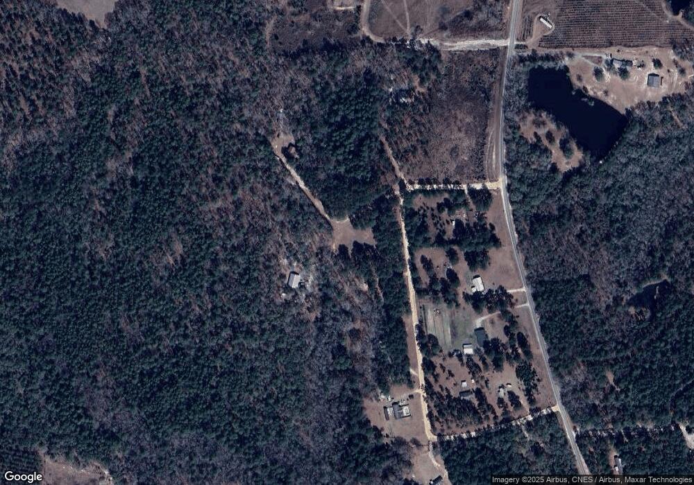
Map
Nearby Homes
- 760 Memphis Rd
- 3770 Hill Rd
- 1449 Hulsey Dr
- 527 Windmill Rd
- 0 Hulsey Dr
- 0 Hulsey Dr Unit 10656930
- 150 W Willow Lake Dr
- 14450 Stillmore Hwy
- 822 N Lewis St
- 465 Cedar St
- 0 Central Ave Unit 10628403
- 40 Hickory St
- 190 Foxridge Ct
- 170 Foxridge Ct
- 160 Foxridge Ct
- 221 S College St
- 250 S Lewis St
- 405 Preston St
- 430 Preston St
- 295 S Lewis St
- 1741 Reid Cir
- 725 Reid Cir
- 1835 Reid Cir
- 13995 OLLIFFTWO Ollifftown Rd
- 723 Reid Cir Unit POB 105
- 458 Reid Cir Unit LOT 5
- 458 Reid Cir Unit 1
- 458 Reid Cir
- 13797 Ollifftown Rd
- 902 Victoria Rd
- 1986 Victoria Rd
- 13387 Ollifftown Rd
- 2176 Victoria Rd
- 16007 Ollifftown Rd
- 15434 Ollifftown Rd
- 13866 Ollifftown Rd
- 1177 Victoria Rd
- 53 Victoria Rd
- N Victoria Rd
- 0 Victoria Rd Unit 20066134