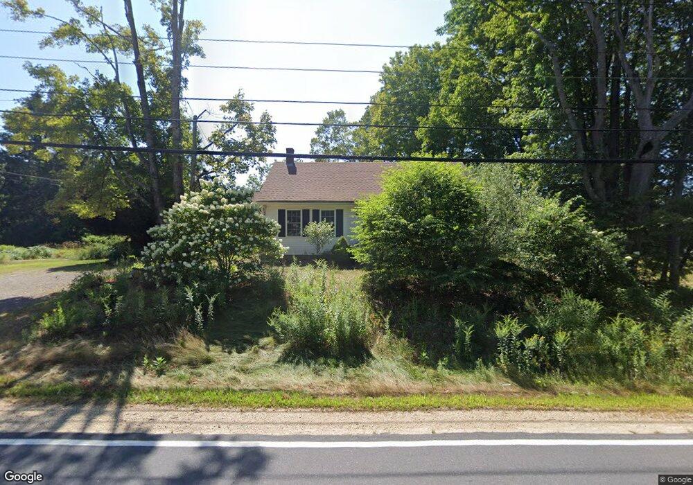
1549 State Rd Eliot, ME 03903
South Eliot NeighborhoodEstimated Value: $451,711 - $598,000
4
Beds
2
Baths
2,009
Sq Ft
$273/Sq Ft
Est. Value
About This Home
This home is located at 1549 State Rd, Eliot, ME 03903 and is currently estimated at $549,237, approximately $273 per square foot. 1549 State Rd is a home located in York County with nearby schools including Marshwood High School and Seacoast Waldorf School.
Create a Home Valuation Report for This Property
The Home Valuation Report is an in-depth analysis detailing your home's value as well as a comparison with similar homes in the area
Home Values in the Area
Average Home Value in this Area
Tax History
| Year | Tax Paid | Tax Assessment Tax Assessment Total Assessment is a certain percentage of the fair market value that is determined by local assessors to be the total taxable value of land and additions on the property. | Land | Improvement |
|---|---|---|---|---|
| 2024 | $4,099 | $345,900 | $150,100 | $195,800 |
| 2023 | $4,046 | $330,300 | $143,700 | $186,600 |
| 2022 | $3,993 | $330,000 | $143,700 | $186,300 |
| 2021 | $4,267 | $316,100 | $133,100 | $183,000 |
| 2020 | $4,278 | $291,000 | $127,700 | $163,300 |
| 2019 | $5,100 | $291,000 | $127,700 | $163,300 |
| 2018 | $4,278 | $291,000 | $127,700 | $163,300 |
| 2017 | $4,897 | $291,000 | $127,700 | $163,300 |
| 2016 | $4,089 | $291,000 | $127,700 | $163,300 |
| 2015 | $4,074 | $291,000 | $127,700 | $163,300 |
| 2014 | $4,016 | $291,000 | $127,700 | $163,300 |
| 2013 | $3,832 | $291,000 | $127,700 | $163,300 |
Source: Public Records
Map
Nearby Homes
- 0 Franks Fort Island Unit 1650383
- 21 Clearwater Dr
- 0 Cote Dr Unit 55B
- 33 Little Bay Dr
- 348 Dover Point Rd
- 354 Dover Point Rd
- 13 Little Bay Dr
- 18 Little Bay Dr
- 28 Little Bay Dr
- Slip B18 Little Bay
- 220 Dover Point Rd
- 71 Shipwright Way
- 18 Deborah Ln
- 41 Clearwater Dr
- 25 Heritage Dr
- 42 Caslyn Dr
- 10 Shipwright Way
- 11 Ayers Ln
- 25 Fosters Dr
- 18 Shipping Ln
Your Personal Tour Guide
Ask me questions while you tour the home.