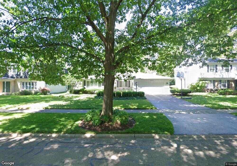
1549 Swallow St Naperville, IL 60565
Maple Brook NeighborhoodEstimated Value: $498,383 - $620,000
Studio
--
Bath
1,935
Sq Ft
$298/Sq Ft
Est. Value
About This Home
This home is located at 1549 Swallow St, Naperville, IL 60565 and is currently estimated at $577,096, approximately $298 per square foot. 1549 Swallow St is a home located in DuPage County with nearby schools including Maplebrook Elementary School, Lincoln Jr. High School, and Naperville Central High School.
Ownership History
Date
Name
Owned For
Owner Type
Purchase Details
Closed on
Jun 27, 1997
Sold by
Hendershot Charles
Bought by
Nelson Robert T and Nelson Susan
Current Estimated Value
Home Financials for this Owner
Home Financials are based on the most recent Mortgage that was taken out on this home.
Original Mortgage
$185,400
Outstanding Balance
$20,846
Interest Rate
7.5%
Estimated Equity
$556,250
Purchase Details
Closed on
Sep 9, 1994
Sold by
Burke Billy J and Burke Sally L
Bought by
Hendershot Charles
Home Financials for this Owner
Home Financials are based on the most recent Mortgage that was taken out on this home.
Original Mortgage
$127,750
Interest Rate
8.62%
Create a Home Valuation Report for This Property
The Home Valuation Report is an in-depth analysis detailing your home's value as well as a comparison with similar homes in the area
Home Values in the Area
Average Home Value in this Area
Purchase History
We collect this data history from publicly available records. To have your information removed, we recommend requesting removal directly through your county’s website.
| Date | Buyer | Sale Price | Title Company |
|---|---|---|---|
| Nelson Robert T | $206,000 | -- | |
| Hendershot Charles | $182,500 | -- |
Source: Public Records
Mortgage History
We collect this data history from publicly available records. To have your information removed, we recommend requesting removal directly through your county’s website.
| Date | Status | Borrower | Loan Amount |
|---|---|---|---|
| Open | Nelson Robert T | $185,400 | |
| Previous Owner | Hendershot Charles | $127,750 |
Source: Public Records
Tax History
| Year | Tax Paid | Tax Assessment Tax Assessment Total Assessment is a certain percentage of the fair market value that is determined by local assessors to be the total taxable value of land and additions on the property. | Land | Improvement |
|---|---|---|---|---|
| 2024 | $8,689 | $157,835 | $74,343 | $83,492 |
| 2023 | $8,321 | $144,050 | $67,850 | $76,200 |
| 2022 | $8,167 | $137,190 | $64,620 | $72,570 |
| 2021 | $8,179 | $132,010 | $62,180 | $69,830 |
| 2020 | $8,004 | $129,630 | $61,060 | $68,570 |
| 2019 | $7,768 | $124,020 | $58,420 | $65,600 |
| 2018 | $7,571 | $120,990 | $56,990 | $64,000 |
| 2017 | $7,417 | $116,910 | $55,070 | $61,840 |
| 2016 | $7,266 | $112,680 | $53,080 | $59,600 |
| 2015 | $7,217 | $106,120 | $49,990 | $56,130 |
| 2014 | $7,076 | $101,070 | $47,610 | $53,460 |
| 2013 | $6,970 | $101,310 | $47,720 | $53,590 |
Source: Public Records
Map
Nearby Homes
- 44 Swift Ln
- 1751 S Washington St Unit 1
- 1583 Orchard Cir
- 144 E Bailey Rd Unit G
- 154 E Bailey Rd Unit D
- 264 E Bailey Rd Unit L
- 8S510 Oxford Ln
- 510 Harlowe Ln Unit 2001C
- 1803 River Ridge Cir
- 1449 Whitespire Ct Unit 5104
- 8S452 Bell Dr
- 43 Foxcroft Rd Unit G135
- 605 Hyde Park Ln
- 1508 Terrance Dr
- 1432 Terrance Dr Unit 3
- 1919 Coach Dr
- 705 Timber Trail Dr
- 105 Thrush Ln
- 1925 Coach Dr
- 292 Winding Creek Dr
- 1561 Swallow St
- 1553 Swallow St
- 1565 Swallow St
- 1556 Killdeer Dr
- 1552 Killdeer Dr
- 1560 Killdeer Dr
- 1552 Swallow St
- 1564 Killdeer Dr
- 1556 Swallow St
- 1569 Swallow St
- 1548 Killdeer Dr
- 1545 Swallow St
- 1560 Swallow St
- 1564 Swallow St
- 1548 Swallow St
- 1544 Killdeer Dr
- 1573 Swallow St
- 1544 Swallow St
- 1568 Killdeer Dr
- 1541 Swallow St
Your Personal Tour Guide
Ask me questions while you tour the home.