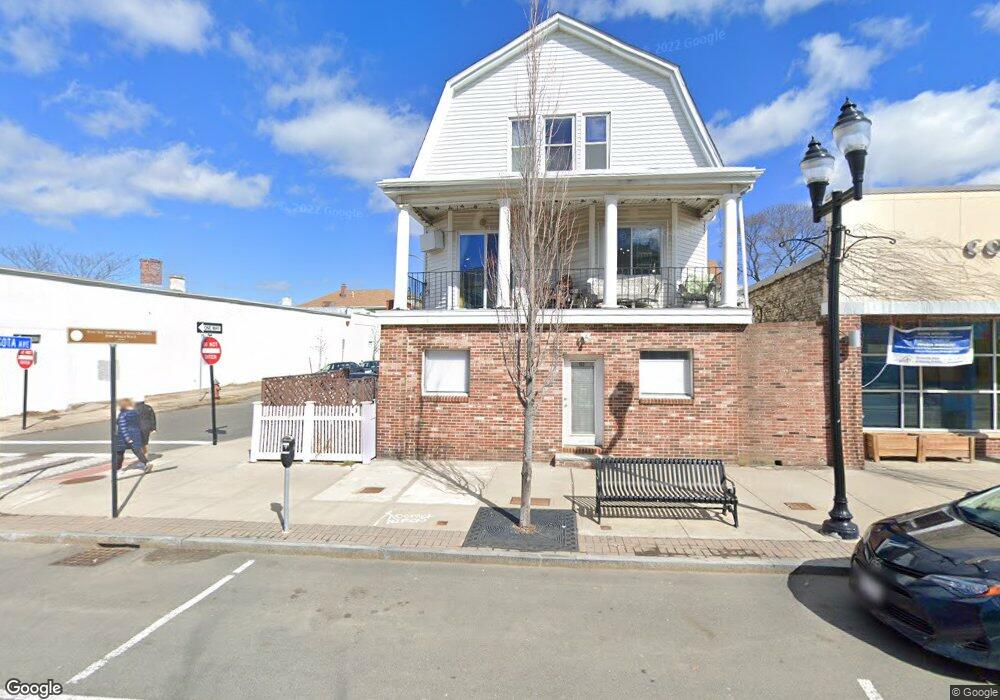
155 Broadway Unit 1A Somerville, MA 02145
East Somerville NeighborhoodEstimated Value: $463,293 - $522,000
2
Beds
1
Bath
646
Sq Ft
$762/Sq Ft
Est. Value
About This Home
This home is located at 155 Broadway Unit 1A, Somerville, MA 02145 and is currently estimated at $492,073, approximately $761 per square foot. 155 Broadway Unit 1A is a home located in Middlesex County with nearby schools including Somerville High School, Prospect Hill Academy Upper Elementary Campus, and Bright Future Educare Center.
Ownership History
Date
Name
Owned For
Owner Type
Purchase Details
Closed on
Dec 21, 2020
Sold by
Polcaro Renee and Polcaro Philip
Bought by
Rp 155 Llc
Current Estimated Value
Home Financials for this Owner
Home Financials are based on the most recent Mortgage that was taken out on this home.
Original Mortgage
$215,000
Outstanding Balance
$191,414
Interest Rate
2.7%
Mortgage Type
New Conventional
Estimated Equity
$300,659
Create a Home Valuation Report for This Property
The Home Valuation Report is an in-depth analysis detailing your home's value as well as a comparison with similar homes in the area
Home Values in the Area
Average Home Value in this Area
Purchase History
| Date | Buyer | Sale Price | Title Company |
|---|---|---|---|
| Rp 155 Llc | -- | None Available |
Source: Public Records
Mortgage History
| Date | Status | Borrower | Loan Amount |
|---|---|---|---|
| Open | Rp 155 Llc | $215,000 |
Source: Public Records
Tax History Compared to Growth
Tax History
| Year | Tax Paid | Tax Assessment Tax Assessment Total Assessment is a certain percentage of the fair market value that is determined by local assessors to be the total taxable value of land and additions on the property. | Land | Improvement |
|---|---|---|---|---|
| 2025 | $4,329 | $396,800 | $0 | $396,800 |
| 2024 | $4,090 | $388,800 | $0 | $388,800 |
| 2023 | $3,967 | $383,700 | $0 | $383,700 |
| 2022 | $3,759 | $369,300 | $0 | $369,300 |
| 2021 | $3,682 | $361,300 | $0 | $361,300 |
| 2020 | $3,528 | $349,700 | $0 | $349,700 |
| 2019 | $3,647 | $338,900 | $0 | $338,900 |
| 2018 | $4,029 | $356,200 | $0 | $356,200 |
| 2017 | $3,726 | $319,300 | $0 | $319,300 |
| 2016 | $3,404 | $271,700 | $0 | $271,700 |
| 2015 | $2,856 | $226,500 | $0 | $226,500 |
Source: Public Records
Map
Nearby Homes
- 26 Minnesota Ave Unit 1
- 27 Wisconsin Ave
- 60 Cross St E Unit 207
- 7 Rhode Island Ave
- 20R Cross St Unit 3
- 10 Cross Street Place Unit 3
- 32 Rush St
- 11 Macarthur St Unit A
- 11 Macarthur St Unit B
- 3 Franklin St Unit 1
- 3 Franklin St Unit 4
- 3 Franklin St Unit 3
- 3 Franklin St Unit 2
- 47 Glen St Unit 2
- 52 Bonair St
- 59 Bonair St
- 54 Bonair St
- 7 Jaques St
- 20 Lincoln St Unit 1
- 147 - 149 Pearl
- 155 Broadway Unit 3
- 155 Broadway Unit 2
- 155 Broadway Unit 314
- 155 Broadway Unit 154-202
- 155 Broadway Unit 154-409
- 155 Broadway Unit 154-307
- 155 Broadway Unit 154-407
- 155 Broadway Unit 162-2
- 155 Broadway Unit 1
- 155 Broadway Unit 154-316
- 155 Broadway Unit 154-304
- 155 Broadway Unit 154-305
- 155 Broadway Unit 154-306
- 155 Broadway Unit 154-312
- 155 Broadway Unit 13
- 155 Broadway Unit 14
- 155 Broadway Unit 11
- 155 Broadway Unit 12
- 155 Broadway Unit 209
- 155 Broadway