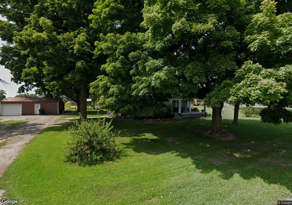
155 Brocklebank Rd Quincy, MI 49082
Estimated Value: $236,000 - $385,000
3
Beds
2
Baths
1,730
Sq Ft
$161/Sq Ft
Est. Value
About This Home
This home is located at 155 Brocklebank Rd, Quincy, MI 49082 and is currently estimated at $279,043, approximately $161 per square foot. 155 Brocklebank Rd is a home located in Branch County with nearby schools including Jennings Elementary School, Quincy Middle School, and Quincy High School.
Ownership History
Date
Name
Owned For
Owner Type
Purchase Details
Closed on
Apr 23, 2021
Sold by
The James A Miller Living Trust
Bought by
Miller Douglas and Miller Ashley
Current Estimated Value
Home Financials for this Owner
Home Financials are based on the most recent Mortgage that was taken out on this home.
Original Mortgage
$100,003
Outstanding Balance
$90,291
Interest Rate
3%
Mortgage Type
New Conventional
Estimated Equity
$188,752
Purchase Details
Closed on
Dec 27, 2004
Sold by
Miller James Arthur and Miller Marion Fay
Bought by
Miller James A and Miller Marion F
Create a Home Valuation Report for This Property
The Home Valuation Report is an in-depth analysis detailing your home's value as well as a comparison with similar homes in the area
Home Values in the Area
Average Home Value in this Area
Purchase History
| Date | Buyer | Sale Price | Title Company |
|---|---|---|---|
| Miller Douglas | $40,000 | Mutual Title Agency | |
| Miller James A | -- | None Available |
Source: Public Records
Mortgage History
| Date | Status | Borrower | Loan Amount |
|---|---|---|---|
| Open | Miller Douglas | $100,003 |
Source: Public Records
Tax History Compared to Growth
Tax History
| Year | Tax Paid | Tax Assessment Tax Assessment Total Assessment is a certain percentage of the fair market value that is determined by local assessors to be the total taxable value of land and additions on the property. | Land | Improvement |
|---|---|---|---|---|
| 2025 | $1,645 | $121,508 | $0 | $0 |
| 2024 | $629 | $113,315 | $0 | $0 |
| 2023 | $479 | $102,563 | $0 | $0 |
| 2022 | $1,251 | $65,511 | $0 | $0 |
| 2021 | $2,163 | $54,087 | $0 | $0 |
| 2020 | -- | $52,796 | $0 | $0 |
| 2019 | -- | $54,701 | $0 | $0 |
| 2018 | -- | $53,284 | $0 | $0 |
| 2017 | -- | $49,750 | $0 | $0 |
| 2016 | -- | $43,945 | $0 | $0 |
| 2015 | -- | $44,024 | $0 | $0 |
| 2014 | -- | $45,255 | $0 | $0 |
| 2013 | -- | $42,746 | $0 | $0 |
Source: Public Records
Map
Nearby Homes
- 180 Crockett Dr
- 181 Dons Dr
- 204 Crockett Dr
- 202 Dons Dr
- 204 Dons Dr
- 804 Cornell Rd
- 117 Ridge Rd
- 757 Lake Shore Point
- 808 Rolling Meadows Dr
- 727 Skipper Ln
- 242 Bickford Dr
- 283 S Fremont Rd
- 211 S Ray Quincy Rd
- 297 Winhoven Dr
- 216 Sandalwood Dr
- 1063 Fisher Rd
- 988 Williams Dr
- 912 Beckwith Shore
- 0 Wildwood Rd
- 732 Cambridge Dr
- 852 Fisher Rd
- 842 Fisher Rd
- 149 S Marble Lake Ln
- 143 S Marble Lake Ln
- 141 S Marble Lake Ln
- 139 S Marble Lake Ln
- 135 S Marble Lake Ln
- 137 S Marble Lake Ln
- 838 Fisher Rd
- 830 Fisher Rd
- 101 Crockett Dr
- 103 Crockett Dr
- 107 Crockett Dr
- 109 Crockett Dr
- 866 Fisher Rd
- 111 Crockett Dr
- 123 Crockett Dr
- 123 Crockett Dr
- 123 Crockett Dr
- 127 Crockett Dr