Estimated Value: $312,000 - $335,000
3
Beds
3
Baths
1,680
Sq Ft
$192/Sq Ft
Est. Value
About This Home
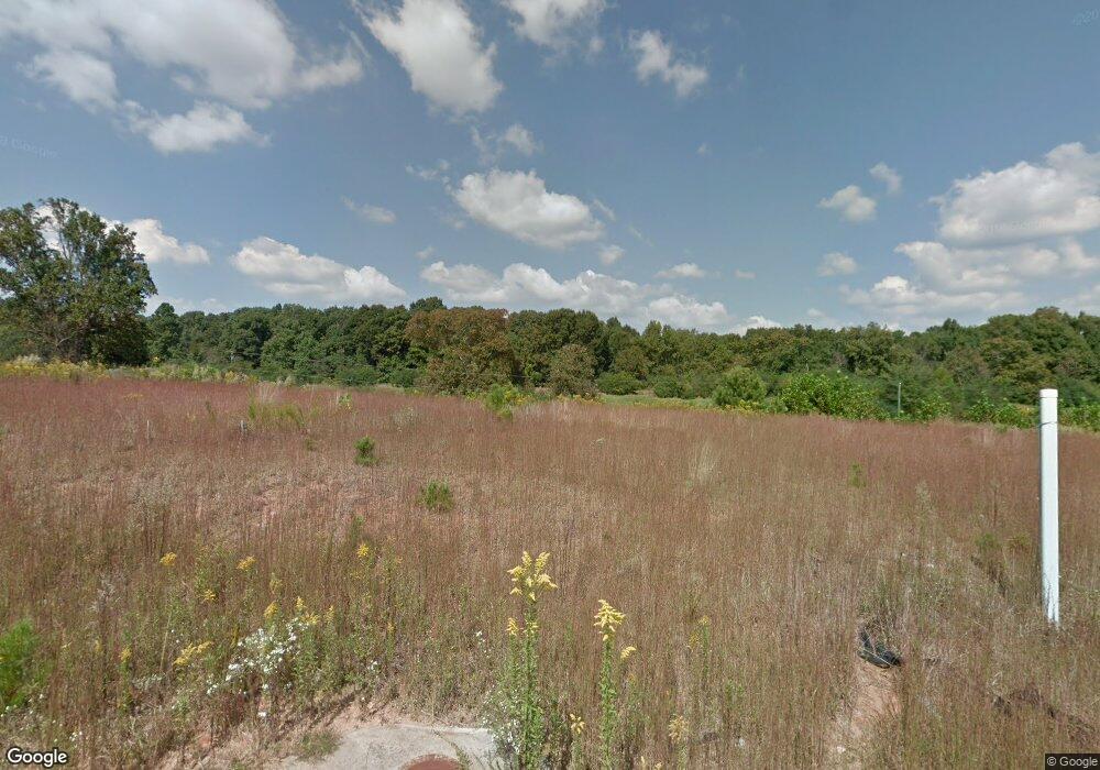
This home is located at 155 Brookside Dr, Lula, GA 30554 and is currently estimated at $321,759, approximately $191 per square foot. 155 Brookside Dr is a home with nearby schools including Banks County Primary School, Banks County Elementary School, and Banks County Middle School.
Ownership History
Date
Name
Owned For
Owner Type
Purchase Details
Closed on
Dec 30, 2016
Sold by
Southfork Homes Llc
Bought by
Ogrich Christine
Current Estimated Value
Home Financials for this Owner
Home Financials are based on the most recent Mortgage that was taken out on this home.
Original Mortgage
$115,920
Outstanding Balance
$94,950
Interest Rate
4.08%
Mortgage Type
New Conventional
Estimated Equity
$226,809
Purchase Details
Closed on
Feb 29, 2016
Sold by
Lula Land Co
Bought by
Southfork Homes Llc
Purchase Details
Closed on
Feb 28, 2013
Sold by
Scbt
Bought by
Walters J A
Purchase Details
Closed on
Feb 21, 2013
Sold by
Walters J A
Bought by
Lula Land Co Llc
Purchase Details
Closed on
Apr 6, 2010
Sold by
Habersham Bank
Bought by
Habersham Bank
Create a Home Valuation Report for This Property
The Home Valuation Report is an in-depth analysis detailing your home's value as well as a comparison with similar homes in the area
Home Values in the Area
Average Home Value in this Area
Purchase History
| Date | Buyer | Sale Price | Title Company |
|---|---|---|---|
| Ogrich Christine | $144,900 | -- | |
| Southfork Homes Llc | $55,000 | -- | |
| Walters J A | $318,000 | -- | |
| Lula Land Co Llc | $371,000 | -- | |
| Habersham Bank | $2,253,000 | -- |
Source: Public Records
Mortgage History
| Date | Status | Borrower | Loan Amount |
|---|---|---|---|
| Open | Ogrich Christine | $115,920 |
Source: Public Records
Tax History
| Year | Tax Paid | Tax Assessment Tax Assessment Total Assessment is a certain percentage of the fair market value that is determined by local assessors to be the total taxable value of land and additions on the property. | Land | Improvement |
|---|---|---|---|---|
| 2025 | $2,040 | $123,779 | $14,000 | $109,779 |
| 2024 | $2,040 | $108,884 | $8,000 | $100,884 |
| 2023 | $1,688 | $102,951 | $14,000 | $88,951 |
| 2022 | $1,912 | $93,016 | $14,000 | $79,016 |
| 2021 | $1,529 | $70,444 | $8,000 | $62,444 |
| 2020 | $1,441 | $64,844 | $6,000 | $58,844 |
| 2019 | $1,361 | $61,046 | $6,000 | $55,046 |
| 2018 | $1,277 | $56,494 | $6,000 | $50,494 |
| 2017 | $1,335 | $55,670 | $6,000 | $49,670 |
| 2016 | $50 | $2,000 | $2,000 | $0 |
| 2015 | $47 | $2,000 | $2,000 | $0 |
| 2014 | $47 | $2,000 | $2,000 | $0 |
| 2013 | -- | $2,000 | $2,000 | $0 |
Source: Public Records
Map
Nearby Homes
- 175 Waterford Glen Dr
- 142 Hampton St
- 0 Caudell Dr Unit 7642531
- 0 Caudell Dr Unit 10596149
- 131 Caudell Dr
- 6688 Lookout Ct
- 6253 Main St
- 5867 Main St
- 6668 Belton Bridge Rd
- 125 Iron Horse Trail
- 6108 Carter St
- 6805 Belton Bridge Place
- 5107 Mountain View Pkwy
- 0 Barefoot Rd Unit 7594746
- 5214 Happy Hollow Ct
- 6385 Pine Station Dr
- 6041 Cobb St
- 6964 Wheeler Rd
- 4920 Cornelia Hwy
- 6334 Pine Ridge Point
- 159 Brookside Dr
- 151 Brookside Dr
- 0 Brookside Unit 94 8423231
- 0 Brookside Unit 95 8423211
- 0 Brookside Unit 55 8379738
- 0 Brookside Unit 29 8379735
- 0 Brookside Unit 49 8379730
- 0 Brookside Unit 38 8311627
- 0 Brookside Unit 46 8311626
- 0 Brookside Unit 41 8267032
- 0 Brookside Unit 36 8210997
- 0 Brookside Unit 22 8210987
- 0 Brookside Unit 20 8209252
- 0 Brookside Unit 23 8209244
- 0 Brookside Unit 37 8209249
- 0 Brookside Unit 33 8138288
- 0 Brookside Unit 35 8166931
- 0 Brookside Unit 34 8166927
- 0 Brookside Unit 14 8038621
- 0 Brookside Unit 16 8038597
