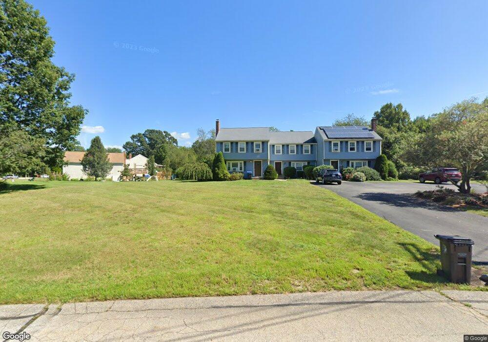
155 Clark Rd Unit 3,155 Wrentham, MA 02093
Estimated Value: $375,450 - $414,000
2
Beds
2
Baths
1,200
Sq Ft
$330/Sq Ft
Est. Value
About This Home
This home is located at 155 Clark Rd Unit 3,155, Wrentham, MA 02093 and is currently estimated at $395,613, approximately $329 per square foot. 155 Clark Rd Unit 3,155 is a home located in Norfolk County with nearby schools including Delaney Elementary School, Charles E Roderick, and The Sage School.
Ownership History
Date
Name
Owned For
Owner Type
Purchase Details
Closed on
Oct 27, 2025
Sold by
Pierce Dianne M Est and Hohmann
Bought by
Opendoor Property J Llc
Current Estimated Value
Purchase Details
Closed on
Jan 8, 1999
Sold by
Noble Anne C
Bought by
Pierce Dianne M
Home Financials for this Owner
Home Financials are based on the most recent Mortgage that was taken out on this home.
Original Mortgage
$90,000
Interest Rate
6.8%
Mortgage Type
Purchase Money Mortgage
Purchase Details
Closed on
Apr 24, 1998
Sold by
Volpicelli John A
Bought by
Noble Anne C
Home Financials for this Owner
Home Financials are based on the most recent Mortgage that was taken out on this home.
Original Mortgage
$94,400
Interest Rate
7.11%
Mortgage Type
Purchase Money Mortgage
Create a Home Valuation Report for This Property
The Home Valuation Report is an in-depth analysis detailing your home's value as well as a comparison with similar homes in the area
Home Values in the Area
Average Home Value in this Area
Purchase History
| Date | Buyer | Sale Price | Title Company |
|---|---|---|---|
| Opendoor Property J Llc | $362,400 | -- | |
| Pierce Dianne M | $114,900 | -- | |
| Noble Anne C | $104,900 | -- | |
| Noble Anne C | $104,900 | -- |
Source: Public Records
Mortgage History
| Date | Status | Borrower | Loan Amount |
|---|---|---|---|
| Previous Owner | Noble Anne C | $90,000 | |
| Previous Owner | Noble Anne C | $94,400 |
Source: Public Records
Tax History Compared to Growth
Tax History
| Year | Tax Paid | Tax Assessment Tax Assessment Total Assessment is a certain percentage of the fair market value that is determined by local assessors to be the total taxable value of land and additions on the property. | Land | Improvement |
|---|---|---|---|---|
| 2025 | $3,136 | $270,600 | $0 | $270,600 |
| 2024 | $3,247 | $270,600 | $0 | $270,600 |
| 2023 | $3,506 | $277,800 | $0 | $277,800 |
| 2022 | $3,218 | $235,400 | $0 | $235,400 |
| 2021 | $3,071 | $218,300 | $0 | $218,300 |
| 2020 | $2,995 | $210,200 | $0 | $210,200 |
| 2019 | $2,968 | $210,200 | $0 | $210,200 |
| 2018 | $3,069 | $215,500 | $0 | $215,500 |
| 2017 | $2,957 | $207,500 | $0 | $207,500 |
| 2016 | $2,852 | $199,700 | $0 | $199,700 |
| 2015 | $2,568 | $171,400 | $0 | $171,400 |
| 2014 | $2,624 | $171,400 | $0 | $171,400 |
Source: Public Records
Map
Nearby Homes
- 362 East St
- 1 Lorraine Metcalf Dr
- 65 Pond St
- 319 Taunton St
- 120 Hawes St
- 10 Nature View Dr
- 15 Nature View Dr
- 270 Dedham St
- 483 Thurston St
- 11 Earle Stewart Ln
- 131 Creek St Unit 7
- Lot 3 - 14 Earle Stewart Ln
- Lot 1 - Blueberry 2 Car Plan at King Philip Estates
- Lot 8 - Blueberry 2 Car Plan at King Philip Estates
- Lot 5 - Hughes 2 car Plan at King Philip Estates
- Lot 6 - Blueberry 3 Car Plan at King Philip Estates
- Lot 2 - Camden 2 Car Plan at King Philip Estates
- Lot 7 - Cedar Plan at King Philip Estates
- Lot 4 - Hemingway 2 Car Plan at King Philip Estates
- Lot 3 - Blueberry 2 Car Plan at King Philip Estates