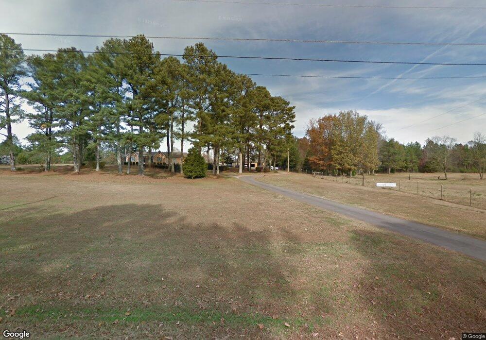
155 Dalton Rd Harvest, AL 35749
Harvest-Cluttsville NeighborhoodEstimated Value: $382,000 - $444,000
--
Bed
--
Bath
3,165
Sq Ft
$127/Sq Ft
Est. Value
About This Home
This home is located at 155 Dalton Rd, Harvest, AL 35749 and is currently estimated at $400,627, approximately $126 per square foot. 155 Dalton Rd is a home with nearby schools including Endeavor Elementary School, Monrovia Middle School, and Sparkman High School.
Ownership History
Date
Name
Owned For
Owner Type
Purchase Details
Closed on
Nov 26, 2007
Sold by
Applewhite Nigel Lyndon
Bought by
Applewhite Carl Livingstone and Applewhite Ionis Leonorah
Current Estimated Value
Purchase Details
Closed on
Apr 23, 2007
Sold by
Applewhite Carl Livingston and Leonorah Ionis
Bought by
Applewhite Carl Livingston and Leonorah Ionis
Home Financials for this Owner
Home Financials are based on the most recent Mortgage that was taken out on this home.
Original Mortgage
$70,000
Interest Rate
6.1%
Mortgage Type
New Conventional
Create a Home Valuation Report for This Property
The Home Valuation Report is an in-depth analysis detailing your home's value as well as a comparison with similar homes in the area
Home Values in the Area
Average Home Value in this Area
Purchase History
| Date | Buyer | Sale Price | Title Company |
|---|---|---|---|
| Applewhite Carl Livingstone | -- | -- | |
| Applewhite Carl Livingston | -- | -- |
Source: Public Records
Mortgage History
| Date | Status | Borrower | Loan Amount |
|---|---|---|---|
| Closed | Applewhite Carl Livingston | $70,000 |
Source: Public Records
Tax History Compared to Growth
Tax History
| Year | Tax Paid | Tax Assessment Tax Assessment Total Assessment is a certain percentage of the fair market value that is determined by local assessors to be the total taxable value of land and additions on the property. | Land | Improvement |
|---|---|---|---|---|
| 2024 | $900 | $31,420 | $6,800 | $24,620 |
| 2023 | $900 | $30,520 | $6,800 | $23,720 |
| 2022 | $753 | $26,380 | $5,400 | $20,980 |
| 2021 | $709 | $24,900 | $5,400 | $19,500 |
| 2020 | $669 | $23,580 | $5,400 | $18,180 |
| 2019 | $645 | $22,770 | $5,400 | $17,370 |
| 2018 | $598 | $21,180 | $0 | $0 |
| 2017 | $598 | $21,180 | $0 | $0 |
| 2016 | $598 | $21,180 | $0 | $0 |
| 2015 | $598 | $21,180 | $0 | $0 |
| 2014 | $602 | $21,300 | $0 | $0 |
Source: Public Records
Map
Nearby Homes
- 11 Flintridge Dr
- 10 Flintridge Dr
- 9 Flintridge Dr
- 7 Flintridge Dr
- 5 Flintridge Dr
- 4 Flintridge Dr
- 3 Flintridge Dr
- 2 Flintridge Dr
- 372 Clutts Rd
- The Lincoln Plan at Riverstone At Monrovia
- The Bennington Plan at Riverstone At Monrovia
- The Raleigh Plan at Riverstone At Monrovia
- The Savannah Plan at Riverstone At Monrovia
- The Shelburne Plan at Riverstone At Monrovia
- The Winston Plan at Riverstone At Monrovia
- The Manhattan Plan at Riverstone At Monrovia
- The Charleston Plan at Riverstone At Monrovia
- The Cambridge Plan at Riverstone At Monrovia
- 128 Flintridge Dr
- 414 Flintridge Dr
- 189 Dalton Rd
- 123 Dalton Rd
- 134 Ramsbrook Dr
- 144 Dalton Rd
- 132 Ramsbrook Dr
- 270 Clutts Rd
- 130 Ramsbrook Dr
- 244 Clutts Rd
- 136 Ramsbrook Dr
- 128 Ramsbrook Dr
- 134 Bilton Dr
- 132 Bilton Dr
- 130 Bilton Dr
- 126 Ramsbrook Dr
- 138 Bilton Dr
- 128 Bilton Dr
- 140 Bilton Dr
- 135 Ramsbrook Dr
- 133 Ramsbrook Dr
- 142 Bilton Dr