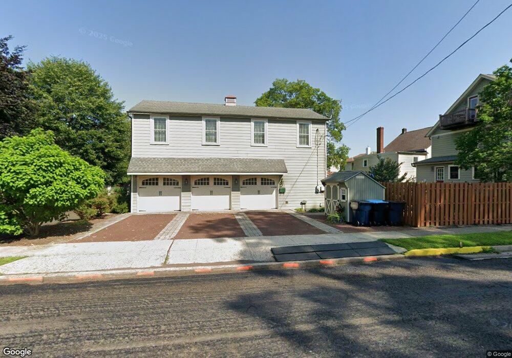
155 Decatur St Unit 3 Doylestown, PA 18901
Estimated Value: $425,000 - $602,000
2
Beds
2
Baths
1,100
Sq Ft
$474/Sq Ft
Est. Value
About This Home
This home is located at 155 Decatur St Unit 3, Doylestown, PA 18901 and is currently estimated at $521,542, approximately $474 per square foot. 155 Decatur St Unit 3 is a home located in Bucks County with nearby schools including Doyle El School, Lenape Middle School, and Central Bucks High School-West.
Ownership History
Date
Name
Owned For
Owner Type
Purchase Details
Closed on
Nov 1, 2021
Sold by
Shuman Larry J and Shuman Barbara K
Bought by
Massaro James
Current Estimated Value
Home Financials for this Owner
Home Financials are based on the most recent Mortgage that was taken out on this home.
Original Mortgage
$332,000
Outstanding Balance
$304,850
Interest Rate
3.14%
Mortgage Type
New Conventional
Estimated Equity
$216,692
Purchase Details
Closed on
Dec 24, 2007
Sold by
Mulderrig Virginia
Bought by
Shuman Larry J and Shuman Barbara K
Home Financials for this Owner
Home Financials are based on the most recent Mortgage that was taken out on this home.
Original Mortgage
$280,000
Interest Rate
6.27%
Mortgage Type
Purchase Money Mortgage
Create a Home Valuation Report for This Property
The Home Valuation Report is an in-depth analysis detailing your home's value as well as a comparison with similar homes in the area
Home Values in the Area
Average Home Value in this Area
Purchase History
| Date | Buyer | Sale Price | Title Company |
|---|---|---|---|
| Massaro James | $415,000 | Cross Keys Abstract & Assura | |
| Shuman Larry J | $350,000 | First American Title Ins Co |
Source: Public Records
Mortgage History
| Date | Status | Borrower | Loan Amount |
|---|---|---|---|
| Open | Massaro James | $332,000 | |
| Previous Owner | Shuman Larry J | $280,000 |
Source: Public Records
Tax History Compared to Growth
Tax History
| Year | Tax Paid | Tax Assessment Tax Assessment Total Assessment is a certain percentage of the fair market value that is determined by local assessors to be the total taxable value of land and additions on the property. | Land | Improvement |
|---|---|---|---|---|
| 2025 | $6,410 | $35,580 | -- | $35,580 |
| 2024 | $6,410 | $35,580 | $0 | $35,580 |
| 2023 | $6,107 | $35,580 | $0 | $35,580 |
| 2022 | $6,022 | $35,580 | $0 | $35,580 |
| 2021 | $5,956 | $35,580 | $0 | $35,580 |
| 2020 | $5,890 | $35,580 | $0 | $35,580 |
| 2019 | $5,825 | $35,580 | $0 | $35,580 |
| 2018 | $5,754 | $35,580 | $0 | $35,580 |
| 2017 | $5,694 | $35,580 | $0 | $35,580 |
| 2016 | $5,694 | $35,580 | $0 | $35,580 |
| 2015 | -- | $35,580 | $0 | $35,580 |
| 2014 | -- | $35,580 | $0 | $35,580 |
Source: Public Records
Map
Nearby Homes
- 130 N Clinton St
- 37 N Clinton St
- 123 S Franklin St
- 83 S Hamilton St
- 20 E Court St
- 195 Lafayette St
- 69 E Oakland Ave
- 146 N Church St
- 226 N Main St
- 1 Barnes Ct
- 146 E Court St
- 110 E Ashland St
- 155 E Oakland Ave
- 2-3 Aspen Way Unit 23
- 9 Mill Creek Dr
- 612 N Shady Retreat Rd
- 236 Green St
- 6 Edison Ln Unit 1
- 284 E Court St
- 418 North St
- 100 N Clinton St Unit 1
- 100 N Clinton St
- 104 N Clinton St
- 106 N Clinton St
- 102 N Clinton St Unit 2
- 102 N Clinton St Unit 3
- 165 Decatur St
- 110 N Clinton St
- 114 N Clinton St
- 292 Union St
- 86 N Clinton St
- 160 Decatur St Unit A
- 160 Decatur St
- 80 N Clinton St
- 47 N Franklin St
- 105 N Clinton St Unit A
- 105 N Clinton St
- 287 Union St
- 248 Union St
- 101 N Clinton St