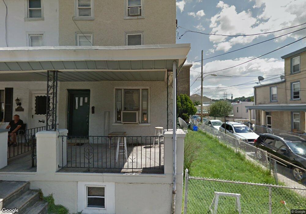
155 Dupont St Unit 57 Philadelphia, PA 19127
Manayunk NeighborhoodEstimated Value: $308,000 - $373,000
3
Beds
1
Bath
1,313
Sq Ft
$248/Sq Ft
Est. Value
About This Home
This home is located at 155 Dupont St Unit 57, Philadelphia, PA 19127 and is currently estimated at $325,714, approximately $248 per square foot. 155 Dupont St Unit 57 is a home located in Philadelphia County with nearby schools including James Dobson Elementary School, Roxborough High School, and Holy Child School.
Ownership History
Date
Name
Owned For
Owner Type
Purchase Details
Closed on
Dec 31, 2020
Sold by
Conway Thomas J and Lee Virginia
Bought by
Conway Thomas S
Current Estimated Value
Purchase Details
Closed on
Nov 19, 2002
Sold by
Cendant Mobility Financial Corp
Bought by
Conway Thomas J and Lee Virginia
Purchase Details
Closed on
Sep 3, 2002
Sold by
Zimmerman David and Zimmerman George David
Bought by
Cendant Mobility Financial Corp
Create a Home Valuation Report for This Property
The Home Valuation Report is an in-depth analysis detailing your home's value as well as a comparison with similar homes in the area
Home Values in the Area
Average Home Value in this Area
Purchase History
| Date | Buyer | Sale Price | Title Company |
|---|---|---|---|
| Conway Thomas S | -- | None Available | |
| Conway Thomas J | $126,000 | -- | |
| Cendant Mobility Financial Corp | $126,000 | -- |
Source: Public Records
Tax History Compared to Growth
Tax History
| Year | Tax Paid | Tax Assessment Tax Assessment Total Assessment is a certain percentage of the fair market value that is determined by local assessors to be the total taxable value of land and additions on the property. | Land | Improvement |
|---|---|---|---|---|
| 2026 | $3,479 | $284,900 | $56,900 | $228,000 |
| 2025 | $3,479 | $284,900 | $56,900 | $228,000 |
| 2024 | $3,479 | $284,900 | $56,900 | $228,000 |
| 2023 | $3,479 | $248,500 | $49,700 | $198,800 |
| 2022 | $3,063 | $248,500 | $49,700 | $198,800 |
| 2021 | $3,063 | $0 | $0 | $0 |
| 2020 | $3,063 | $0 | $0 | $0 |
| 2019 | $2,956 | $0 | $0 | $0 |
| 2018 | $2,422 | $0 | $0 | $0 |
| 2017 | $2,842 | $0 | $0 | $0 |
| 2016 | $2,422 | $0 | $0 | $0 |
| 2015 | -- | $0 | $0 | $0 |
| 2014 | -- | $203,000 | $39,039 | $163,961 |
| 2012 | -- | $20,992 | $4,890 | $16,102 |
Source: Public Records
Map
Nearby Homes
- 4506 Ritchie St
- 175 Krams Ave
- 142 Carson St
- 223 Dupont St
- 131 Carson St
- 4413 Baker St
- 4523 Riverside Way
- 4630 Umbria St
- 348 Carson St
- 144 Levering St
- 352 Carson St
- 259 Krams Ave
- 191 Maiden St
- 182 00 Gay St Unit 103
- 4432 Fleming St
- 4584 Riverside Way
- 4586 Riverside Way
- 2 Leverington Ave Unit 24
- 2 Leverington Ave Unit 21
- 244 Hermitage St
- 159 Dupont St
- 4539 Saint Davids St
- 153 Dupont St
- 4537 Saint Davids St
- 4546 Ritchie St
- 151 Dupont St
- 4544 Ritchie St
- 4542 Ritchie St
- 4535 Saint Davids St
- 4540 Ritchie St
- 149 Dupont St
- 4531 Smick St
- 154 Dupont St
- 4538 Ritchie St
- 156 Dupont St
- 158 Dupont St
- 4529 Smick St
- 160 Dupont St
- 4533 Saint Davids St
- 147 Dupont St