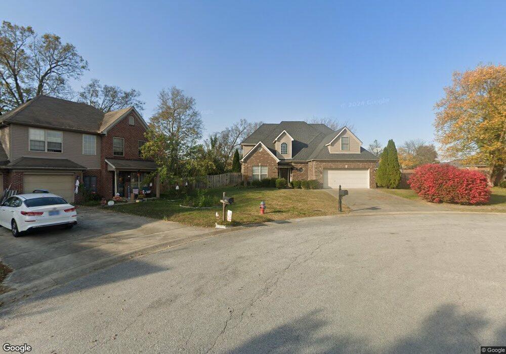
155 Emerson Trail Georgetown, KY 40324
Bradford Place NeighborhoodEstimated Value: $377,000 - $408,000
3
Beds
3
Baths
2,500
Sq Ft
$157/Sq Ft
Est. Value
About This Home
This home is located at 155 Emerson Trail, Georgetown, KY 40324 and is currently estimated at $392,041, approximately $156 per square foot. 155 Emerson Trail is a home located in Scott County with nearby schools including Southern Elementary School, Georgetown Middle School, and Scott County High School.
Ownership History
Date
Name
Owned For
Owner Type
Purchase Details
Closed on
Apr 29, 2005
Sold by
Ball Homes Llc
Bought by
Starns William T
Current Estimated Value
Create a Home Valuation Report for This Property
The Home Valuation Report is an in-depth analysis detailing your home's value as well as a comparison with similar homes in the area
Home Values in the Area
Average Home Value in this Area
Purchase History
| Date | Buyer | Sale Price | Title Company |
|---|---|---|---|
| Starns William T | $182,847 | Elam Metropolitan Title Comp |
Source: Public Records
Tax History
| Year | Tax Paid | Tax Assessment Tax Assessment Total Assessment is a certain percentage of the fair market value that is determined by local assessors to be the total taxable value of land and additions on the property. | Land | Improvement |
|---|---|---|---|---|
| 2025 | $2,974 | $333,900 | $0 | $0 |
| 2024 | $2,774 | $308,500 | $0 | $0 |
| 2023 | $2,658 | $293,100 | $42,000 | $251,100 |
| 2022 | $2,014 | $236,900 | $35,000 | $201,900 |
| 2021 | $2,070 | $219,700 | $35,000 | $184,700 |
| 2020 | $1,803 | $209,800 | $35,000 | $174,800 |
| 2019 | $1,767 | $202,400 | $0 | $0 |
| 2018 | $1,692 | $194,980 | $0 | $0 |
| 2017 | $1,700 | $194,980 | $0 | $0 |
| 2016 | $1,570 | $194,980 | $0 | $0 |
| 2015 | $1,563 | $195,300 | $0 | $0 |
| 2014 | $1,559 | $188,000 | $0 | $0 |
| 2011 | $120 | $192,880 | $0 | $0 |
Source: Public Records
Map
Nearby Homes
- 512 Pocahontas Trail
- 113 Walden Cove Unit 3I
- 232 W Showalter Dr
- 1215 Seminole Trail
- 809 Pocahontas Trail
- 264 W Showalter Dr
- 251 W Showalter Dr
- 106 Somerset Cove
- 199 Hawthorne Dr
- 115 Victor Place
- 206 Hiawatha Trail
- 1117 Pawnee Trail
- 104 Bronte Place
- 111 Hillside Dr
- 107 Oconner Ct
- 1026 Parkside Dr
- 208 Montgomery Ave
- 108 Pinwheel Ct
- 110 Capella Way
- 140 Magellan Ln
- 153 Emerson Trail
- 156 Emerson Trail
- 600 Pocahontas Trail
- 151 Emerson Trail
- 154 Emerson Trail
- 152 Emerson Trail
- 510 Pocahontas Trail
- 149 Emerson Trail
- 113 Ellen Ct
- 150 Emerson Trail
- 202 Redding Rd
- 204 Redding Rd
- 200 Redding Rd
- 111 Ellen Ct
- 206 Redding Rd
- 1121 Choctaw Trail
- 147 Emerson Trail
- 148 Emerson Trail
- 508 Pocahontas Trail
- 109 Ellen Ct