155 Glade Rd Stanardsville, VA 22973
Estimated Value: $241,000 - $315,000
2
Beds
2
Baths
1,056
Sq Ft
$270/Sq Ft
Est. Value
About This Home
This home is located at 155 Glade Rd, Stanardsville, VA 22973 and is currently estimated at $284,840, approximately $269 per square foot. 155 Glade Rd is a home located in Greene County with nearby schools including William Monroe High School.
Ownership History
Date
Name
Owned For
Owner Type
Purchase Details
Closed on
Jan 9, 2014
Sold by
Perutelli Stephen E and Perutelli Jeannie
Bought by
Wehrli Gene T and Wehrli Linda
Current Estimated Value
Home Financials for this Owner
Home Financials are based on the most recent Mortgage that was taken out on this home.
Original Mortgage
$149,000
Outstanding Balance
$112,530
Interest Rate
4.4%
Mortgage Type
VA
Estimated Equity
$172,310
Create a Home Valuation Report for This Property
The Home Valuation Report is an in-depth analysis detailing your home's value as well as a comparison with similar homes in the area
Home Values in the Area
Average Home Value in this Area
Purchase History
| Date | Buyer | Sale Price | Title Company |
|---|---|---|---|
| Wehrli Gene T | $149,000 | Stewart Title Guaranty Co |
Source: Public Records
Mortgage History
| Date | Status | Borrower | Loan Amount |
|---|---|---|---|
| Open | Wehrli Gene T | $149,000 |
Source: Public Records
Tax History Compared to Growth
Tax History
| Year | Tax Paid | Tax Assessment Tax Assessment Total Assessment is a certain percentage of the fair market value that is determined by local assessors to be the total taxable value of land and additions on the property. | Land | Improvement |
|---|---|---|---|---|
| 2025 | $1,585 | $229,700 | $52,300 | $177,400 |
| 2024 | $1,560 | $219,700 | $52,300 | $167,400 |
| 2023 | $1,604 | $219,700 | $52,300 | $167,400 |
| 2022 | $1,525 | $186,000 | $52,300 | $133,700 |
| 2021 | $1,525 | $186,000 | $52,300 | $133,700 |
| 2020 | $1,445 | $176,200 | $52,300 | $123,900 |
| 2019 | $1,445 | $176,200 | $52,300 | $123,900 |
| 2018 | $1,345 | $173,600 | $52,300 | $121,300 |
| 2017 | $1,345 | $173,600 | $52,300 | $121,300 |
| 2016 | $1,242 | $160,300 | $52,300 | $108,000 |
| 2015 | $1,184 | $157,800 | $52,300 | $105,500 |
| 2014 | $1,202 | $167,000 | $52,300 | $114,700 |
| 2013 | -- | $167,000 | $52,300 | $114,700 |
Source: Public Records
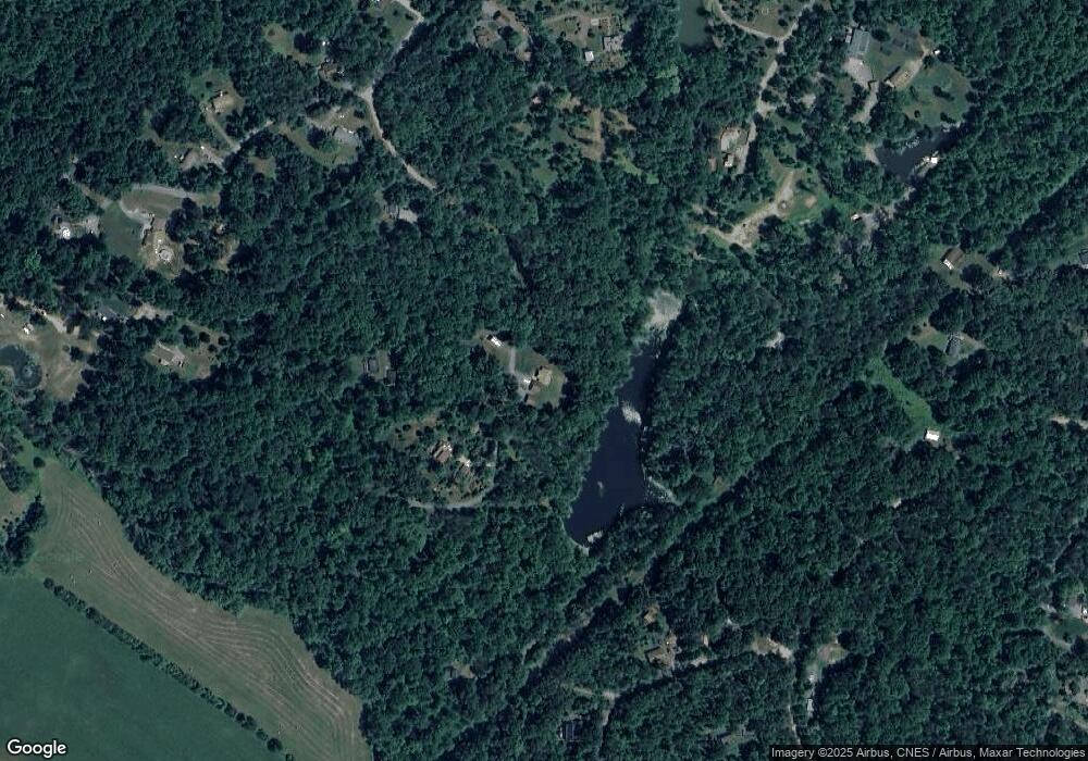
Map
Nearby Homes
- 0 Riverdale Rd
- 11 Flint Lake Rd
- 0 Chapman Rd Unit 665026
- 0 Chapman Rd Unit 5
- 105 Squirrel Path
- 135 John Boys Ln
- 2018 Parker Mountain Rd
- 504 Farmview Rd
- 0 Farmview Rd Unit 660457
- 1127 Morning Glory Turn
- 100 Songbird Ln
- 364 Larkspur Rd
- 307 Larkspur Rd
- 118 Lexington Ct
- 118 Lexington Ct Unit 7
- 318 Swift Run Rd
- 17 Langdon Woods Dr
- 611 Carnation Rd
- TBD Simmons Gap Rd
- 137 Glade Rd
- 785 Springbranch Trail
- 198 Riverdale Rd
- 665 Springbranch Trail
- 54 Glade Rd
- 738 Springbranch Trail
- 372 Mulberry Dr
- Lot 42 Springbranch Trail
- 284 Riverdale Rd
- 0 Springbranch Tr Unit 594446
- 0 Springbranch Tr Unit 48
- Lot 30 Springbranch Tr Unit 30
- Lot 31 Springbranch Tr
- Lot 30 Springbranch Tr
- 65 Glade Rd
- 982 Springbranch Trail
- 224 Mulberry Dr
- 258 Riverdale Rd
- 351 Springbranch Trail
- 239 Springbranch Trail