155 Landlock Dr Statesville, NC 28625
Estimated Value: $307,000 - $884,000
2
Beds
1
Bath
1,500
Sq Ft
$440/Sq Ft
Est. Value
About This Home
This home is located at 155 Landlock Dr, Statesville, NC 28625 and is currently estimated at $659,954, approximately $439 per square foot. 155 Landlock Dr is a home with nearby schools including Scotts Elementary School, West Iredell Middle School, and West Iredell High School.
Ownership History
Date
Name
Owned For
Owner Type
Purchase Details
Closed on
Sep 12, 2019
Sold by
Shawver Kenneth E and Shawver Patricia D
Bought by
Benfield Jeffrey W and Benfield Susan T
Current Estimated Value
Purchase Details
Closed on
Mar 15, 2018
Sold by
Hubbard Llc
Bought by
Benfield Jeffrey W and Benfield Susan T
Purchase Details
Closed on
Jun 1, 1959
Create a Home Valuation Report for This Property
The Home Valuation Report is an in-depth analysis detailing your home's value as well as a comparison with similar homes in the area
Home Values in the Area
Average Home Value in this Area
Purchase History
| Date | Buyer | Sale Price | Title Company |
|---|---|---|---|
| Benfield Jeffrey W | -- | None Available | |
| Benfield Jeffrey W | -- | None Available | |
| Benfield Jeffrey W | -- | None Available | |
| Benfield Jeffrey W | -- | None Available | |
| Benfield Jeffrey W | $475,000 | None Available | |
| -- | $22,000 | -- |
Source: Public Records
Tax History Compared to Growth
Tax History
| Year | Tax Paid | Tax Assessment Tax Assessment Total Assessment is a certain percentage of the fair market value that is determined by local assessors to be the total taxable value of land and additions on the property. | Land | Improvement |
|---|---|---|---|---|
| 2024 | $2,771 | $459,490 | $0 | $0 |
| 2023 | $2,771 | $459,490 | $0 | $0 |
| 2022 | $1,729 | $266,010 | $0 | $0 |
| 2021 | $1,725 | $266,010 | $0 | $0 |
| 2020 | $2,945 | $460,390 | $291,000 | $169,390 |
| 2019 | $3,013 | $478,830 | $291,000 | $187,830 |
| 2018 | $3,223 | $530,770 | $305,550 | $225,220 |
| 2017 | $3,223 | $530,770 | $305,550 | $225,220 |
| 2016 | $3,223 | $530,770 | $305,550 | $225,220 |
| 2015 | $3,223 | $530,770 | $305,550 | $225,220 |
| 2014 | $2,686 | $474,620 | $305,550 | $169,070 |
Source: Public Records
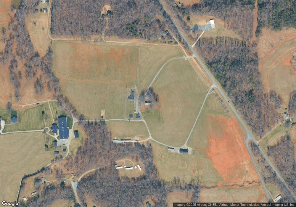
Map
Nearby Homes
- 159 Bowman Rd
- 482 Miller Farm Rd
- 124 Caribou Dr
- 212 Doe Trail Ln
- 179 Foy Ln
- 119 Red Cedar Ln
- 103 Red Cedar Ln
- 137 Red Cedar Ln
- 3643 S Chipley Ford Rd
- 148-151& 229-233 S Chipley Ford Rd
- 165 Fieldstone Farm Dr
- 204 Harriet Ln
- 121 Jenkins Rd
- 146 Beech Brook Ln
- 64 Heavenly Dr Unit 64
- 103 Roseman Ln
- 599 Scotts Creek Rd
- 113 E Edinburgh Ct
- 648 Scotts Creek Rd
- 128 Backrush Ct
- 215 Landlock Dr
- 114 Shawver Ln
- 2423 Old Wilkesboro Rd
- 2430 Wilkesboro Hwy
- 118 Brook Run Ln
- 106 Coco Ln
- 109 Pulpwood Ln
- 114 Brook Run Ln
- 111 Brook Run Ln
- 194 Bowman Rd Unit 53
- 331 Bowman Rd
- 184 Bowman Rd Unit 53
- 120 Crosby Rd
- 174 Bowman Rd
- 174 Bowman Rd Unit 6
- 110 Merriman Rd
- 168 Bowman Rd
- 104 Brook Run Ln
- 203 Bowman Rd
- 125 Crosby Rd