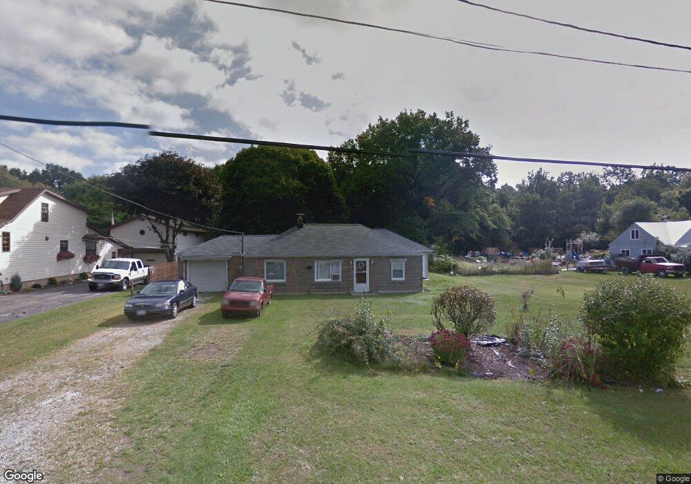
155 Lee Rd Painesville, OH 44077
Estimated Value: $156,000 - $182,997
4
Beds
2
Baths
1,468
Sq Ft
$119/Sq Ft
Est. Value
About This Home
This home is located at 155 Lee Rd, Painesville, OH 44077 and is currently estimated at $174,249, approximately $118 per square foot. 155 Lee Rd is a home located in Lake County with nearby schools including Henry F. Lamuth Middle School, Riverside Junior/Senior High School, and Summit Academy Community School - Painesville.
Ownership History
Date
Name
Owned For
Owner Type
Purchase Details
Closed on
Aug 3, 2005
Sold by
Phillips Florence M
Bought by
Butcher Deborah
Current Estimated Value
Purchase Details
Closed on
Aug 8, 2003
Sold by
Turner Thelma M and Turner Laura V
Bought by
Phillips Kenneth E and Phillips Florence M
Home Financials for this Owner
Home Financials are based on the most recent Mortgage that was taken out on this home.
Original Mortgage
$88,254
Interest Rate
5.47%
Mortgage Type
FHA
Create a Home Valuation Report for This Property
The Home Valuation Report is an in-depth analysis detailing your home's value as well as a comparison with similar homes in the area
Home Values in the Area
Average Home Value in this Area
Purchase History
| Date | Buyer | Sale Price | Title Company |
|---|---|---|---|
| Butcher Deborah | -- | -- | |
| Phillips Kenneth E | $89,000 | Real Living Title Agency Ltd |
Source: Public Records
Mortgage History
| Date | Status | Borrower | Loan Amount |
|---|---|---|---|
| Previous Owner | Phillips Kenneth E | $88,254 |
Source: Public Records
Tax History Compared to Growth
Tax History
| Year | Tax Paid | Tax Assessment Tax Assessment Total Assessment is a certain percentage of the fair market value that is determined by local assessors to be the total taxable value of land and additions on the property. | Land | Improvement |
|---|---|---|---|---|
| 2024 | -- | $40,630 | $13,640 | $26,990 |
| 2023 | $4,307 | $39,520 | $9,900 | $29,620 |
| 2022 | $2,689 | $39,520 | $9,900 | $29,620 |
| 2021 | $2,585 | $39,520 | $9,900 | $29,620 |
| 2020 | $2,552 | $34,360 | $8,610 | $25,750 |
| 2019 | $2,550 | $34,360 | $8,610 | $25,750 |
| 2018 | $2,412 | $29,100 | $7,920 | $21,180 |
| 2017 | $2,262 | $29,100 | $7,920 | $21,180 |
| 2016 | $2,059 | $29,100 | $7,920 | $21,180 |
| 2015 | $1,667 | $29,100 | $7,920 | $21,180 |
| 2014 | $1,694 | $29,100 | $7,920 | $21,180 |
| 2013 | $1,656 | $29,100 | $7,920 | $21,180 |
Source: Public Records
Map
Nearby Homes
- 0 N Ridge Rd Unit 5110949
- 1787 Muirfield Ln
- 500 Park Rd
- 269 Hale Rd
- 389 Sand Trap Cir
- 1598 Bogie Ln
- 525 Morgan Dr
- 108 Birch Dr
- 399 Sandtrap Cir
- 396 Park Rd
- 499 Sand Trap Cir
- 547 Greenside Dr
- 1865 Marsh Ln Unit 1865
- 1791 Muirfield Ln
- 808 N Creek Dr
- V/L Morgan Dr
- 1806 Muirfield Ln
- 43 Bristol Ave
- 1978 Marsh Ln Unit 1978
- 1182 Dalton Dr