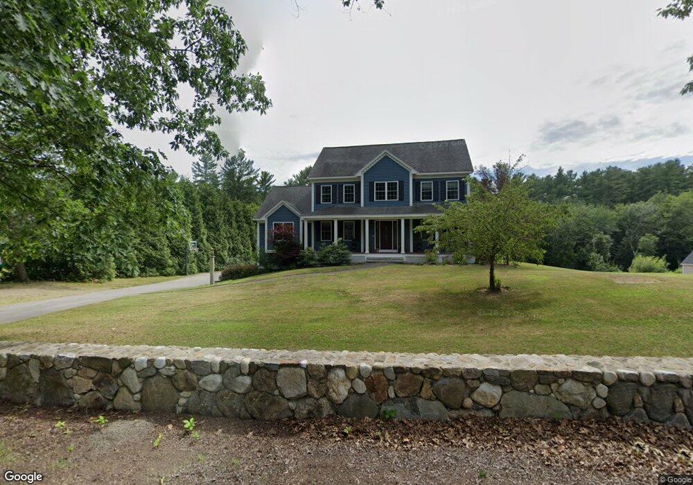
155 Lowell St Dunstable, MA 01827
Estimated Value: $886,648 - $1,063,000
3
Beds
3
Baths
2,760
Sq Ft
$345/Sq Ft
Est. Value
About This Home
This home is located at 155 Lowell St, Dunstable, MA 01827 and is currently estimated at $952,662, approximately $345 per square foot. 155 Lowell St is a home located in Middlesex County with nearby schools including Groton Dunstable Regional High School and Academy of Notre Dame - Upper School.
Ownership History
Date
Name
Owned For
Owner Type
Purchase Details
Closed on
Sep 18, 2006
Sold by
Chandler Colleen M and Connor Colleen M
Bought by
Chandler Colleen M
Current Estimated Value
Home Financials for this Owner
Home Financials are based on the most recent Mortgage that was taken out on this home.
Original Mortgage
$417,000
Outstanding Balance
$250,970
Interest Rate
6.71%
Mortgage Type
Purchase Money Mortgage
Estimated Equity
$701,692
Purchase Details
Closed on
Aug 9, 2004
Sold by
Springhill Assoc Inc
Bought by
Connor Colleen M
Home Financials for this Owner
Home Financials are based on the most recent Mortgage that was taken out on this home.
Original Mortgage
$421,726
Interest Rate
6.2%
Mortgage Type
Purchase Money Mortgage
Create a Home Valuation Report for This Property
The Home Valuation Report is an in-depth analysis detailing your home's value as well as a comparison with similar homes in the area
Home Values in the Area
Average Home Value in this Area
Purchase History
| Date | Buyer | Sale Price | Title Company |
|---|---|---|---|
| Chandler Colleen M | $527,158 | -- | |
| Connor Colleen M | $527,158 | -- |
Source: Public Records
Mortgage History
| Date | Status | Borrower | Loan Amount |
|---|---|---|---|
| Open | Chandler Colleen M | $417,000 | |
| Previous Owner | Connor Colleen M | $421,726 |
Source: Public Records
Tax History
| Year | Tax Paid | Tax Assessment Tax Assessment Total Assessment is a certain percentage of the fair market value that is determined by local assessors to be the total taxable value of land and additions on the property. | Land | Improvement |
|---|---|---|---|---|
| 2025 | $11,342 | $824,900 | $257,900 | $567,000 |
| 2024 | $10,791 | $773,000 | $243,000 | $530,000 |
| 2023 | $10,692 | $714,200 | $243,000 | $471,200 |
| 2022 | $9,874 | $647,500 | $243,000 | $404,500 |
| 2021 | $9,638 | $587,300 | $214,400 | $372,900 |
| 2020 | $9,483 | $563,100 | $206,200 | $356,900 |
| 2019 | $9,231 | $541,100 | $206,200 | $334,900 |
| 2018 | $9,052 | $516,100 | $200,400 | $315,700 |
| 2017 | $8,644 | $507,900 | $200,400 | $307,500 |
| 2016 | $8,004 | $483,600 | $175,900 | $307,700 |
| 2015 | $8,121 | $485,400 | $172,700 | $312,700 |
| 2014 | $7,655 | $485,400 | $172,700 | $312,700 |
Source: Public Records
Map
Nearby Homes
- 0 Lowell St
- 16 Cannongate Rd Unit 16
- 103 Pondview Place Unit 103
- 160 Westford Rd
- 2 Strawberry Bank Rd Unit 17
- 0 Dunstable Rd
- 153 Off Pond St
- 14 Centercrest Dr Unit 14
- 4 Heritage Village Dr
- 319 Pleasant St
- 62 Brook St
- 56 Frost Rd
- 6 Green Heron Ln Unit U22
- 3 Black Oak Dr Unit C
- 38 Georgetown Dr
- 34 Shakespeare St
- 22 Highland Rd
- 24 Old Tyng Rd
- 20 Georgetown Dr
- 11 Lojko Dr
Your Personal Tour Guide
Ask me questions while you tour the home.