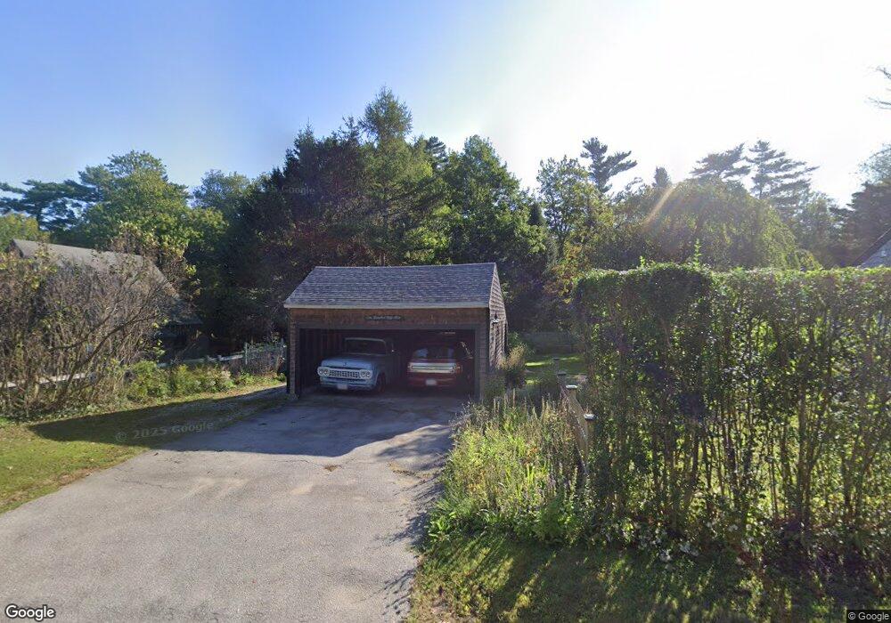
155 Maple St Scituate, MA 02066
Estimated Value: $712,000 - $987,000
3
Beds
2
Baths
2,056
Sq Ft
$407/Sq Ft
Est. Value
About This Home
This home is located at 155 Maple St, Scituate, MA 02066 and is currently estimated at $836,572, approximately $406 per square foot. 155 Maple St is a home located in Plymouth County with nearby schools including Cushing Elementary School, Lester J. Gates Middle School, and Scituate High School.
Ownership History
Date
Name
Owned For
Owner Type
Purchase Details
Closed on
Sep 15, 2011
Sold by
Allen 3Rd John J and Allen Audrey R
Bought by
John & Audrey Allen Ft and Allen John J
Current Estimated Value
Purchase Details
Closed on
Jan 1, 1978
Bought by
John & Audrey Allen Ft
Create a Home Valuation Report for This Property
The Home Valuation Report is an in-depth analysis detailing your home's value as well as a comparison with similar homes in the area
Home Values in the Area
Average Home Value in this Area
Purchase History
| Date | Buyer | Sale Price | Title Company |
|---|---|---|---|
| John & Audrey Allen Ft | -- | -- | |
| John & Audrey Allen Ft | -- | -- |
Source: Public Records
Mortgage History
| Date | Status | Borrower | Loan Amount |
|---|---|---|---|
| Previous Owner | John & Audrey Allen Ft | $190,000 | |
| Previous Owner | John & Audrey Allen Ft | $100,000 |
Source: Public Records
Tax History
| Year | Tax Paid | Tax Assessment Tax Assessment Total Assessment is a certain percentage of the fair market value that is determined by local assessors to be the total taxable value of land and additions on the property. | Land | Improvement |
|---|---|---|---|---|
| 2025 | $5,752 | $575,800 | $355,600 | $220,200 |
| 2024 | $5,709 | $551,100 | $323,300 | $227,800 |
| 2023 | $5,588 | $508,000 | $293,900 | $214,100 |
| 2022 | $5,588 | $442,800 | $253,100 | $189,700 |
| 2021 | $5,483 | $411,300 | $241,000 | $170,300 |
| 2020 | $5,422 | $401,600 | $231,700 | $169,900 |
| 2019 | $5,427 | $395,000 | $227,200 | $167,800 |
| 2018 | $5,838 | $418,500 | $244,800 | $173,700 |
| 2017 | $5,584 | $396,300 | $222,600 | $173,700 |
| 2016 | $5,359 | $379,000 | $211,400 | $167,600 |
| 2015 | $4,819 | $367,900 | $200,300 | $167,600 |
Source: Public Records
Map
Nearby Homes
- 2 Webster Farm Way
- 627 First Parish Rd
- 537 First Parish Rd
- 25 Webster Farm Way
- 23 Webster Farm Way
- 293 Cross St
- 3 Webster Farm Way
- 5 Webster Farm Way
- 764 First Parish Rd
- 94 Old Oaken Bucket Rd
- 19 Dunster Ln
- 98 Satuit Trail
- 0 Mt Blue Unit 73374335
- 327 Country Way
- 17 Old Oaken Bucket Rd
- 20 Grace Way Unit 20
- 6 Grace Way Unit 6
- 27 Grace Way
- 115 Elm St
- 111 Elm St
- 156 Maple St
- 308 Old Oaken Bucket Rd
- 148 Maple St
- 294 Old Oaken Bucket Rd
- 303 Old Oaken Bucket Rd
- 317 Old Oaken Bucket Rd
- 290 Old Oaken Bucket Rd
- 133 Maple St
- 297 Old Oaken Bucket Rd
- 132 Maple St
- 132 Maple St Unit 132
- 131 Maple St
- 131 Maple St
- 178 Maple St
- 175 Maple St
- 280 Old Oaken Bucket Rd
- 282 Old Oaken Bucket Rd
- 129 Maple St
- 385 Winter St
- 179 Maple St
Your Personal Tour Guide
Ask me questions while you tour the home.