155 Mccracken Rd Danville, PA 17821
Estimated Value: $234,000 - $320,000
3
Beds
2
Baths
1,920
Sq Ft
$140/Sq Ft
Est. Value
About This Home
This home is located at 155 Mccracken Rd, Danville, PA 17821 and is currently estimated at $268,628, approximately $139 per square foot. 155 Mccracken Rd is a home located in Montour County with nearby schools including Liberty-Valley Elementary School, Danville Primary School, and Danville Area Middle School.
Ownership History
Date
Name
Owned For
Owner Type
Purchase Details
Closed on
Jul 30, 2010
Sold by
Hoy Norman J and Hoy Dorothy K
Bought by
Hoy Nathan N and How Lindsay E
Current Estimated Value
Home Financials for this Owner
Home Financials are based on the most recent Mortgage that was taken out on this home.
Original Mortgage
$94,800
Interest Rate
4.63%
Mortgage Type
New Conventional
Create a Home Valuation Report for This Property
The Home Valuation Report is an in-depth analysis detailing your home's value as well as a comparison with similar homes in the area
Home Values in the Area
Average Home Value in this Area
Purchase History
| Date | Buyer | Sale Price | Title Company |
|---|---|---|---|
| Hoy Nathan N | $109,000 | None Available |
Source: Public Records
Mortgage History
| Date | Status | Borrower | Loan Amount |
|---|---|---|---|
| Closed | Hoy Nathan N | $94,800 |
Source: Public Records
Tax History Compared to Growth
Tax History
| Year | Tax Paid | Tax Assessment Tax Assessment Total Assessment is a certain percentage of the fair market value that is determined by local assessors to be the total taxable value of land and additions on the property. | Land | Improvement |
|---|---|---|---|---|
| 2025 | $1,985 | $115,200 | $35,800 | $79,400 |
| 2024 | $1,918 | $115,200 | $35,800 | $79,400 |
| 2023 | $1,919 | $115,200 | $35,800 | $79,400 |
| 2022 | $1,862 | $115,200 | $35,800 | $79,400 |
| 2021 | $1,817 | $115,200 | $35,800 | $79,400 |
| 2020 | $1,801 | $115,200 | $35,800 | $79,400 |
| 2019 | $1,745 | $115,200 | $35,800 | $79,400 |
| 2018 | $1,701 | $115,200 | $35,800 | $79,400 |
| 2017 | $454 | $106,700 | $35,800 | $70,900 |
| 2016 | $1,569 | $106,700 | $35,800 | $70,900 |
| 2015 | $454 | $106,700 | $35,800 | $70,900 |
| 2014 | -- | $106,700 | $35,800 | $70,900 |
Source: Public Records
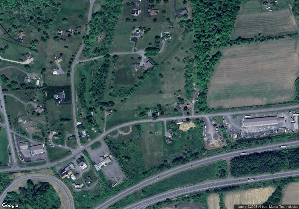
Map
Nearby Homes
- 239 Mccracken Rd
- 22 Country Rd
- 118 Jacobs Landing Way
- 198 Liberty Valley Rd
- 9 Kristim Dr
- 26 Kristim Dr
- 18 Kristim Dr
- 12 Brookside Dr
- 78 Valley Green Dr
- 77 Wagon Wheel Hill Rd
- 0 Valley West Rd
- 0 State Route 642 Jerseytown Rd Unit 20-101047
- 12 Leer Ln
- 135 Woodhill Rd
- 0 Sugar Camp Rd Unit 20-87823
- 0 Bald Top Rd
- 25 Rhoades Hill Rd
- 15 Ravenwood Dr
- 0 Klondike Rd Unit 20-100415
- 1747 First St
- 165 Mccracken Rd
- 175 Mccracken Rd
- 135 Mccracken Rd
- 20 Cameltown Hill Rd
- 30 Cameltown Hill Rd
- 10 Cameltown Hill Rd
- 5 Cameltown Hill Rd
- 76 Mccracken Rd
- 126 Mccracken Rd
- 23 Cameltown Hill Rd
- 125 Mccracken Rd
- 115 Mccracken Rd
- 40 Fox Fire Ln
- 52 Fox Fire Ln
- 25 Cameltown Hill Rd
- 26 Fox Fire Ln
- 2 Indian Run Rd
- 4A Indian Run Rd
- 35 Sheraton Rd
- 4B Indian Run Rd