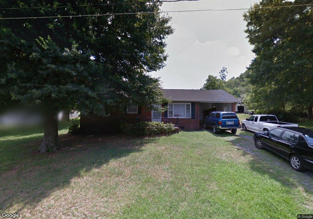
155 McShag Dr Kannapolis, NC 28081
Estimated Value: $208,000 - $237,000
3
Beds
2
Baths
--
Sq Ft
0.48
Acres
About This Home
This home is located at 155 McShag Dr, Kannapolis, NC 28081 and is currently estimated at $222,786. 155 McShag Dr is a home located in Rowan County with nearby schools including Landis Elementary School, Corriher Lipe Middle School, and South Rowan High School.
Ownership History
Date
Name
Owned For
Owner Type
Purchase Details
Closed on
Jul 25, 2022
Sold by
Sumith and Sumith
Bought by
Smkaani Llc
Current Estimated Value
Home Financials for this Owner
Home Financials are based on the most recent Mortgage that was taken out on this home.
Original Mortgage
$129,249
Outstanding Balance
$123,431
Interest Rate
5.54%
Estimated Equity
$99,355
Purchase Details
Closed on
Apr 18, 2008
Sold by
Upright Sammy Ray and Upright Barbara C
Bought by
Hinson Kimmy Lynn
Create a Home Valuation Report for This Property
The Home Valuation Report is an in-depth analysis detailing your home's value as well as a comparison with similar homes in the area
Home Values in the Area
Average Home Value in this Area
Purchase History
| Date | Buyer | Sale Price | Title Company |
|---|---|---|---|
| Smkaani Llc | -- | Shoaf Law Firm Pa | |
| Sumith Meera | -- | None Listed On Document | |
| Hinson Kimmy Lynn | $50,000 | None Available |
Source: Public Records
Mortgage History
| Date | Status | Borrower | Loan Amount |
|---|---|---|---|
| Open | Sumith Meera | $129,249 | |
| Closed | Sumith Meera | $129,249 |
Source: Public Records
Tax History Compared to Growth
Tax History
| Year | Tax Paid | Tax Assessment Tax Assessment Total Assessment is a certain percentage of the fair market value that is determined by local assessors to be the total taxable value of land and additions on the property. | Land | Improvement |
|---|---|---|---|---|
| 2025 | $1,155 | $175,026 | $28,000 | $147,026 |
| 2024 | $1,155 | $175,026 | $28,000 | $147,026 |
| 2023 | $1,155 | $175,026 | $28,000 | $147,026 |
| 2022 | $658 | $89,279 | $18,000 | $71,279 |
| 2021 | $658 | $89,279 | $18,000 | $71,279 |
| 2020 | $658 | $89,279 | $18,000 | $71,279 |
| 2019 | $658 | $89,279 | $18,000 | $71,279 |
| 2018 | $590 | $80,606 | $18,000 | $62,606 |
| 2017 | $590 | $80,606 | $18,000 | $62,606 |
| 2016 | $582 | $80,606 | $18,000 | $62,606 |
| 2015 | $591 | $80,606 | $18,000 | $62,606 |
| 2014 | $601 | $83,509 | $18,000 | $65,509 |
Source: Public Records
Map
Nearby Homes
- 2603 Mcgill St
- 2307 Pritchard St
- 0 Enochville Ave Unit CAR4275012
- 0 Winona Ave
- 206 Winona Ave
- 110 Tanglewood Dr
- 2218 Woodcrest Dr
- 117 S Enochville Ave
- 0 Smith Rd
- 115 Northcrest Dr
- 0 Ridgecrest Dr
- 110 White Ave
- 113 Hilton Ave
- 1734 Shadowbrook Dr
- 3796 Enochville Rd
- 268 Laurel Crest Dr
- 2280 Cannon Farm Rd
- 1530 Buffalo St
- 1895 Normandy Rd
- 5057 Bahama Dr
- 155 McShag Dr Unit 12
- 175 McShag Dr
- 135 McShag Dr
- 130 McShag Dr
- 180 McShag Dr
- 2402 Johnson St
- 195 McShag Dr
- 150 McShag Dr
- 2500 Johnson St
- 311 Northdale Ave
- 2408 Millie St
- 2404 Johnson St
- 307 Northdale Ave
- 2406 Millie St
- 317 Northdale Ave
- 2400 Johnson St
- 2508 Johnson St
- 210 Overcash Ave
- 306 Northdale Ave
- 308 Northdale Ave