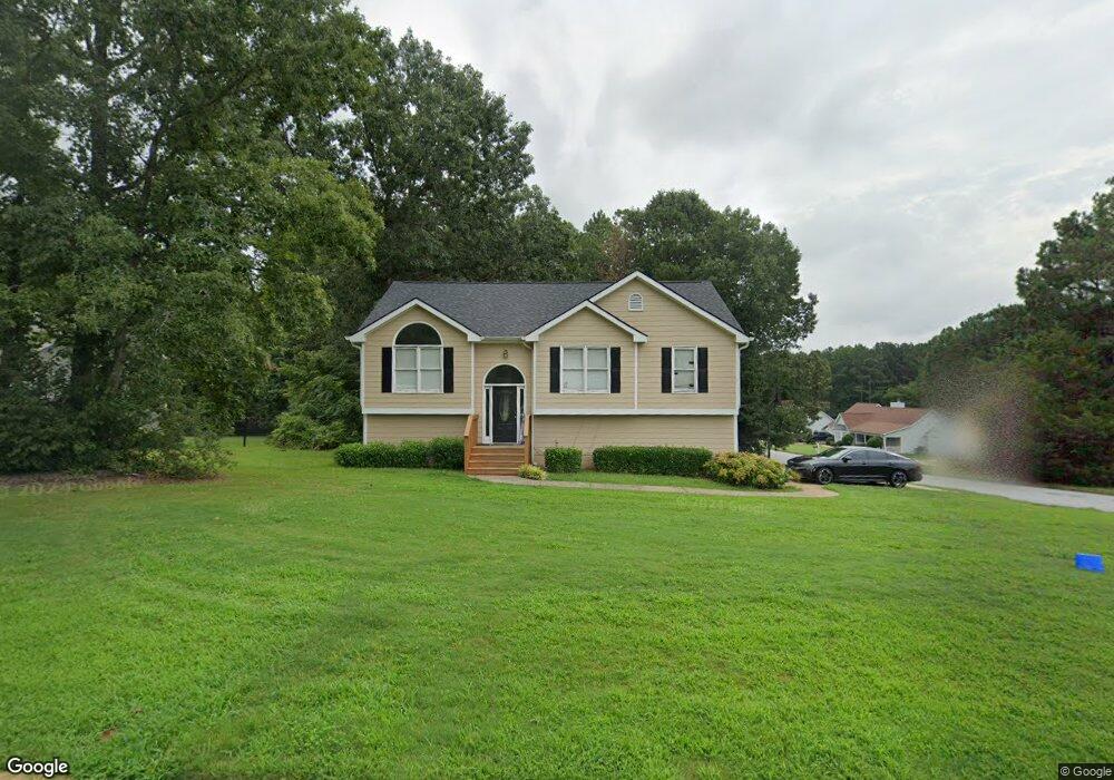
155 Millcrest Dr Unit 2 Covington, GA 30016
Estimated Value: $256,000 - $268,000
Studio
2
Baths
1,414
Sq Ft
$186/Sq Ft
Est. Value
About This Home
This home is located at 155 Millcrest Dr Unit 2, Covington, GA 30016 and is currently estimated at $263,330, approximately $186 per square foot. 155 Millcrest Dr Unit 2 is a home located in Newton County with nearby schools including South Salem Elementary School, Liberty Middle School, and Alcovy High School.
Ownership History
Date
Name
Owned For
Owner Type
Purchase Details
Closed on
Jan 26, 1999
Sold by
Dubois Construction Co
Bought by
Jeffries Dennis L
Current Estimated Value
Home Financials for this Owner
Home Financials are based on the most recent Mortgage that was taken out on this home.
Original Mortgage
$94,900
Outstanding Balance
$21,170
Interest Rate
6.84%
Mortgage Type
New Conventional
Estimated Equity
$242,160
Create a Home Valuation Report for This Property
The Home Valuation Report is an in-depth analysis detailing your home's value as well as a comparison with similar homes in the area
Home Values in the Area
Average Home Value in this Area
Purchase History
| Date | Buyer | Sale Price | Title Company |
|---|---|---|---|
| Jeffries Dennis L | $99,000 | -- |
Source: Public Records
Mortgage History
| Date | Status | Borrower | Loan Amount |
|---|---|---|---|
| Open | Jeffries Dennis L | $94,900 |
Source: Public Records
Tax History
| Year | Tax Paid | Tax Assessment Tax Assessment Total Assessment is a certain percentage of the fair market value that is determined by local assessors to be the total taxable value of land and additions on the property. | Land | Improvement |
|---|---|---|---|---|
| 2025 | $2,945 | $122,640 | $16,000 | $106,640 |
| 2024 | $2,889 | $116,280 | $16,000 | $100,280 |
| 2023 | $2,804 | $105,680 | $8,800 | $96,880 |
| 2022 | $2,304 | $87,280 | $7,200 | $80,080 |
| 2021 | $2,153 | $73,520 | $7,200 | $66,320 |
| 2020 | $2,072 | $64,360 | $7,200 | $57,160 |
| 2019 | $2,075 | $63,560 | $7,200 | $56,360 |
| 2018 | $874 | $53,640 | $7,200 | $46,440 |
| 2017 | $1,517 | $46,920 | $6,400 | $40,520 |
| 2016 | $1,269 | $39,680 | $4,000 | $35,680 |
| 2015 | $1,260 | $39,440 | $3,600 | $35,840 |
| 2014 | $1,222 | $38,400 | $0 | $0 |
Source: Public Records
Map
Nearby Homes
- 225 Oak Hill Dr
- 300 Brickstone Pkwy
- 1295 Mills Cove Dr
- 585 Cowan Rd
- 5056 Salem Rd
- 123 Cowan Rd
- 4927 Salem Rd
- 205 Woodcrest Dr
- 215 Cowan Rd
- 35 Knights Cir
- 25 Woodcrest Dr
- 195 Cedar Rd
- 60 Knights Cir
- 70 Countryside Ln
- 70 Blackberry Ln
- 60 Katelen Ct
- 800 Mills Dr
- 145 Sears Cir
- 4681 Salem Rd
- 465 St Annes Place
- 145 Millcrest Dr Unit 2
- 160 Millcrest Dr Unit 2
- 135 Millcrest Dr
- 140 Millcrest Dr Unit 2
- 10 Creekstone Ct
- 150 Millcrest Dr Unit 2
- 35 Creekstone Ct
- 20 Creekstone Ct
- 125 Millcrest Dr Unit 2
- 170 Millcrest Dr
- 30 Creekstone Ct
- 130 Millcrest Dr
- 45 Creekstone Ct Unit 3
- 40 Creekstone Ct Unit 3
- 180 Millcrest Dr
- 120 Millcrest Dr
- 115 Millcrest Dr Unit 2
- 185 Millcrest Dr Unit 2
- 190 Millcrest Dr Unit 2
- 405 Oak Hill Dr
Your Personal Tour Guide
Ask me questions while you tour the home.