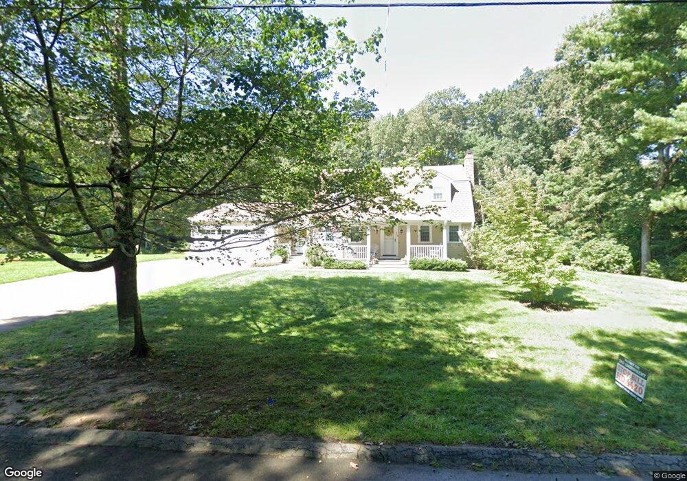
155 Myrtle St Wrentham, MA 02093
Estimated Value: $661,000 - $820,000
3
Beds
3
Baths
1,981
Sq Ft
$372/Sq Ft
Est. Value
About This Home
This home is located at 155 Myrtle St, Wrentham, MA 02093 and is currently estimated at $737,616, approximately $372 per square foot. 155 Myrtle St is a home located in Norfolk County with nearby schools including Delaney Elementary School, Charles E Roderick, and Foxborough Regional Charter School.
Ownership History
Date
Name
Owned For
Owner Type
Purchase Details
Closed on
Jan 19, 2023
Sold by
Didick Nancy E
Bought by
Peter S Didick T
Current Estimated Value
Purchase Details
Closed on
Jan 23, 2013
Sold by
Didick Peter S and Didick Nancy E
Bought by
Peter S Didick T
Purchase Details
Closed on
May 17, 1979
Bought by
Peter S Didick T
Create a Home Valuation Report for This Property
The Home Valuation Report is an in-depth analysis detailing your home's value as well as a comparison with similar homes in the area
Purchase History
| Date | Buyer | Sale Price | Title Company |
|---|---|---|---|
| Peter S Didick T | -- | None Available | |
| Didick Nancy E | -- | None Available | |
| Peter S Didick T | -- | -- | |
| Peter S Didick T | -- | -- |
Source: Public Records
Mortgage History
| Date | Status | Borrower | Loan Amount |
|---|---|---|---|
| Previous Owner | Peter S Didick T | $172,500 | |
| Previous Owner | Peter S Didick T | $147,177 | |
| Previous Owner | Peter S Didick T | $121,000 |
Source: Public Records
Tax History
| Year | Tax Paid | Tax Assessment Tax Assessment Total Assessment is a certain percentage of the fair market value that is determined by local assessors to be the total taxable value of land and additions on the property. | Land | Improvement |
|---|---|---|---|---|
| 2025 | $7,629 | $658,200 | $303,300 | $354,900 |
| 2024 | $7,360 | $613,300 | $303,300 | $310,000 |
| 2023 | $7,312 | $579,400 | $275,700 | $303,700 |
| 2022 | $6,534 | $478,000 | $257,200 | $220,800 |
| 2021 | $6,215 | $441,700 | $224,600 | $217,100 |
| 2020 | $6,273 | $440,200 | $199,800 | $240,400 |
| 2019 | $6,216 | $440,200 | $199,800 | $240,400 |
| 2018 | $6,036 | $423,900 | $200,000 | $223,900 |
| 2017 | $5,882 | $412,800 | $196,200 | $216,600 |
| 2016 | $5,666 | $396,800 | $190,500 | $206,300 |
| 2015 | $4,629 | $309,000 | $183,100 | $125,900 |
| 2014 | $3,883 | $253,600 | $146,900 | $106,700 |
Source: Public Records
Map
Nearby Homes
- 282 Thurston St
- 483 Thurston St
- 25 Foxboro Rd
- 131 Washington St Unit 50
- 576 Dedham St
- 8 Conway Ln
- 75 Foxboro Rd
- 12 Goodwin Dr
- 1 Weber Farm Rd Unit 1
- 10 Nature View Dr
- 15 Nature View Dr
- 8 Weber Farm Rd Unit 8
- 11 Weber Farm Rd Unit 11
- 30 Weber Farm Rd Unit 30
- 9 Sharon Ave
- 11 Sharon Ave
- 5 Post Rd
- 7 Hill St Unit 12
- 7 Hill St Unit 16
- 135 Creek St Unit 2
Your Personal Tour Guide
Ask me questions while you tour the home.