155 N 7th St Cedar Springs, MI 49319
Estimated Value: $284,000 - $300,626
2
Beds
1
Bath
1,356
Sq Ft
$216/Sq Ft
Est. Value
About This Home
This home is located at 155 N 7th St, Cedar Springs, MI 49319 and is currently estimated at $292,407, approximately $215 per square foot. 155 N 7th St is a home located in Kent County with nearby schools including Cedar Trails Elementary School, Red Hawk Intermediate School, and Beach Elementary School.
Ownership History
Date
Name
Owned For
Owner Type
Purchase Details
Closed on
Feb 10, 2022
Sold by
Tiffany Rice
Bought by
Rice Tiffany and Rice Keith
Current Estimated Value
Home Financials for this Owner
Home Financials are based on the most recent Mortgage that was taken out on this home.
Original Mortgage
$184,000
Outstanding Balance
$170,858
Interest Rate
3.55%
Mortgage Type
Balloon
Estimated Equity
$121,549
Purchase Details
Closed on
Nov 16, 2011
Sold by
Zielke Nancy M and Greck Christine
Bought by
Sperry Tiffany
Home Financials for this Owner
Home Financials are based on the most recent Mortgage that was taken out on this home.
Original Mortgage
$82,653
Interest Rate
4.12%
Mortgage Type
New Conventional
Create a Home Valuation Report for This Property
The Home Valuation Report is an in-depth analysis detailing your home's value as well as a comparison with similar homes in the area
Home Values in the Area
Average Home Value in this Area
Purchase History
| Date | Buyer | Sale Price | Title Company |
|---|---|---|---|
| Rice Tiffany | -- | Chicago Title | |
| Sperry Tiffany | $81,000 | Ppr Title Agency |
Source: Public Records
Mortgage History
| Date | Status | Borrower | Loan Amount |
|---|---|---|---|
| Open | Rice Tiffany | $184,000 | |
| Previous Owner | Sperry Tiffany | $82,653 |
Source: Public Records
Tax History Compared to Growth
Tax History
| Year | Tax Paid | Tax Assessment Tax Assessment Total Assessment is a certain percentage of the fair market value that is determined by local assessors to be the total taxable value of land and additions on the property. | Land | Improvement |
|---|---|---|---|---|
| 2025 | $2,973 | $140,900 | $0 | $0 |
| 2024 | $2,973 | $108,500 | $0 | $0 |
| 2023 | $2,830 | $97,600 | $0 | $0 |
| 2022 | $2,863 | $89,400 | $0 | $0 |
| 2021 | $2,817 | $84,900 | $0 | $0 |
| 2020 | $2,670 | $73,800 | $0 | $0 |
| 2019 | $2,592 | $69,300 | $0 | $0 |
| 2018 | $2,537 | $71,900 | $0 | $0 |
| 2017 | $2,467 | $68,400 | $0 | $0 |
| 2016 | $2,396 | $55,700 | $0 | $0 |
| 2015 | -- | $55,700 | $0 | $0 |
| 2013 | -- | $53,700 | $0 | $0 |
Source: Public Records
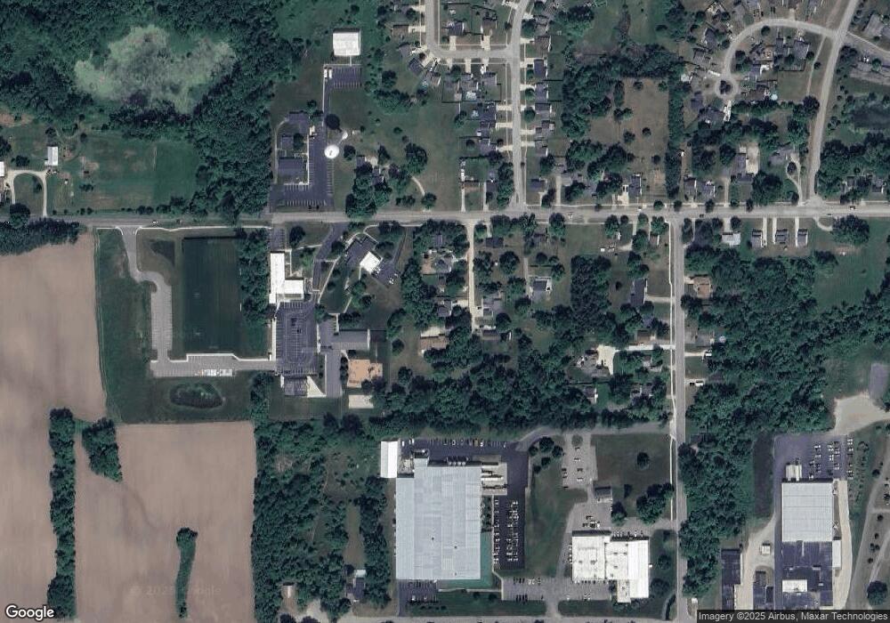
Map
Nearby Homes
- 139 N 5th St NE
- 71 N 2nd St NE
- 490 Pioneer Trail
- 520 Needlewood Dr
- 69 S Main
- 551 Hawk Wood Ct
- 4398 17 Mile Rd NE
- Integrity 2190 Plan at White Pine Trails - Integrity
- Elements 1680 Plan at White Pine Trails
- Integrity 1880 Plan at White Pine Trails - Integrity
- Integrity 1520 Plan at White Pine Trails - Integrity
- Integrity 2080 Plan at White Pine Trails - Integrity
- Elements 2100 Plan at White Pine Trails
- Integrity 2061 V8.1a Plan at White Pine Trails - Integrity
- Integrity 1530 Plan at White Pine Trails - Integrity
- Elements 2200 Plan at White Pine Trails
- Elements 2070 Plan at White Pine Trails
- Elements 2700 Plan at White Pine Trails
- Elements 1800 Plan at White Pine Trails
- Integrity 2000 Plan at White Pine Trails - Integrity