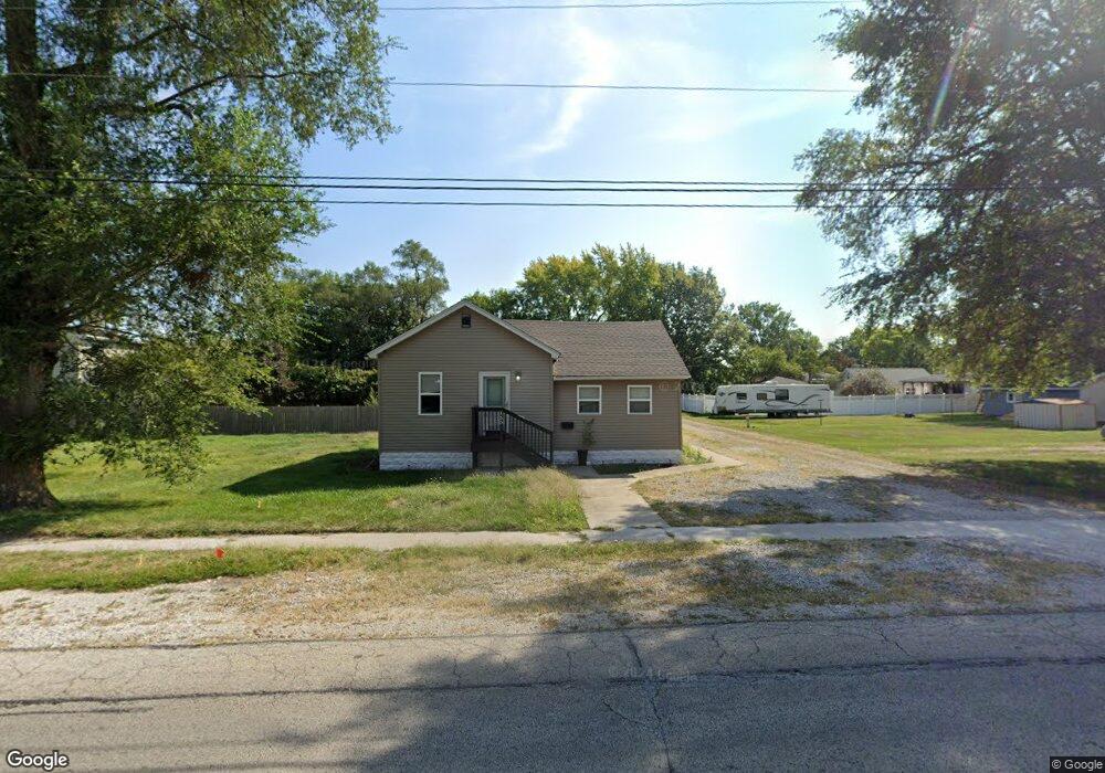
155 N Broadway St Coal City, IL 60416
Estimated Value: $178,942 - $227,000
5
Beds
--
Bath
998
Sq Ft
$198/Sq Ft
Est. Value
About This Home
This home is located at 155 N Broadway St, Coal City, IL 60416 and is currently estimated at $197,986, approximately $198 per square foot. 155 N Broadway St is a home with nearby schools including Coal City Elementary School, Coal City Intermediate School, and Coal City Middle School.
Ownership History
Date
Name
Owned For
Owner Type
Purchase Details
Closed on
Jul 6, 2020
Sold by
Avery Powell Properties Llc
Bought by
Village Of Coal City
Current Estimated Value
Home Financials for this Owner
Home Financials are based on the most recent Mortgage that was taken out on this home.
Original Mortgage
$142,373
Outstanding Balance
$126,247
Interest Rate
3.1%
Mortgage Type
FHA
Estimated Equity
$71,739
Purchase Details
Closed on
Jul 12, 2019
Sold by
Phillips Michael J
Bought by
Avery Powell Properties Llc
Create a Home Valuation Report for This Property
The Home Valuation Report is an in-depth analysis detailing your home's value as well as a comparison with similar homes in the area
Home Values in the Area
Average Home Value in this Area
Purchase History
| Date | Buyer | Sale Price | Title Company |
|---|---|---|---|
| Village Of Coal City | $145,000 | Fidelity National Title | |
| Avery Powell Properties Llc | $15,000 | None Available |
Source: Public Records
Mortgage History
| Date | Status | Borrower | Loan Amount |
|---|---|---|---|
| Open | Village Of Coal City | $142,373 |
Source: Public Records
Tax History
| Year | Tax Paid | Tax Assessment Tax Assessment Total Assessment is a certain percentage of the fair market value that is determined by local assessors to be the total taxable value of land and additions on the property. | Land | Improvement |
|---|---|---|---|---|
| 2024 | $4,246 | $57,843 | $16,032 | $41,811 |
| 2023 | $3,972 | $54,115 | $14,999 | $39,116 |
| 2022 | $3,280 | $50,694 | $14,051 | $36,643 |
| 2021 | $3,140 | $47,915 | $13,281 | $34,634 |
| 2020 | $2,104 | $31,001 | $13,014 | $17,987 |
| 2019 | $1,448 | $25,495 | $12,277 | $13,218 |
| 2018 | $2,501 | $40,241 | $12,300 | $27,941 |
| 2017 | $2,336 | $38,786 | $11,855 | $26,931 |
| 2016 | $2,298 | $38,505 | $11,769 | $26,736 |
| 2015 | $2,093 | $37,232 | $11,380 | $25,852 |
| 2014 | $2,055 | $36,639 | $11,199 | $25,440 |
| 2013 | $2,069 | $37,330 | $11,410 | $25,920 |
Source: Public Records
Map
Nearby Homes
- 390 N Washington St
- 230 E Big Timber Dr
- Lot 4 Mcardle Rd
- 105 W Oak St
- 380 S Marguerite St
- 420 S Virginia St
- 485 Trotter Dr
- 145 S Primrose Dr
- 1060 Regent Ct
- 1005 Foxgrove Dr
- 0 E Division St Unit MRD12083414
- 80 E Spring Rd
- 847 Covey Ln
- 929 Covey Ln
- 933 Covey Ln
- 903 Springhill Dr
- 935 Covey Ln
- 1070 Farmstone Dr
- 1170 Farmstone Dr
- 1165 Farmstone Dr
Your Personal Tour Guide
Ask me questions while you tour the home.