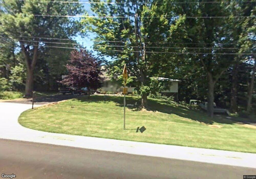
155 N Hartstrait Rd Bloomington, IN 47404
Estimated Value: $272,000 - $315,000
3
Beds
2
Baths
2,168
Sq Ft
$136/Sq Ft
Est. Value
About This Home
This home is located at 155 N Hartstrait Rd, Bloomington, IN 47404 and is currently estimated at $294,015, approximately $135 per square foot. 155 N Hartstrait Rd is a home located in Monroe County with nearby schools including Edgewood High School, The Bloomington Project School, and Excel Center - Bloomington.
Ownership History
Date
Name
Owned For
Owner Type
Purchase Details
Closed on
Sep 27, 2019
Sold by
Edmonson Donald and Edmonson Diana
Bought by
Edmonson Donald and Edmonson Diana
Current Estimated Value
Home Financials for this Owner
Home Financials are based on the most recent Mortgage that was taken out on this home.
Original Mortgage
$131,257
Outstanding Balance
$115,269
Interest Rate
3.62%
Mortgage Type
FHA
Estimated Equity
$178,746
Purchase Details
Closed on
Jul 12, 2018
Sold by
Bunge Kimberly S and Richardson Debra
Bought by
Edmonson Donald and Edmanson Diana
Home Financials for this Owner
Home Financials are based on the most recent Mortgage that was taken out on this home.
Original Mortgage
$109,890
Interest Rate
4.75%
Mortgage Type
FHA
Purchase Details
Closed on
Oct 27, 2010
Sold by
Bunge Kimberly S
Bought by
Bunge Kimberly S and Richardson Debra
Create a Home Valuation Report for This Property
The Home Valuation Report is an in-depth analysis detailing your home's value as well as a comparison with similar homes in the area
Home Values in the Area
Average Home Value in this Area
Purchase History
| Date | Buyer | Sale Price | Title Company |
|---|---|---|---|
| Edmonson Donald | -- | None Available | |
| Edmonson Donald | -- | None Available | |
| Bunge Kimberly S | -- | None Available |
Source: Public Records
Mortgage History
| Date | Status | Borrower | Loan Amount |
|---|---|---|---|
| Open | Edmonson Donald | $131,257 | |
| Closed | Edmonson Donald | $109,890 |
Source: Public Records
Tax History Compared to Growth
Tax History
| Year | Tax Paid | Tax Assessment Tax Assessment Total Assessment is a certain percentage of the fair market value that is determined by local assessors to be the total taxable value of land and additions on the property. | Land | Improvement |
|---|---|---|---|---|
| 2024 | $1,587 | $203,900 | $43,500 | $160,400 |
| 2023 | $1,497 | $187,100 | $36,800 | $150,300 |
| 2022 | $1,401 | $171,000 | $36,800 | $134,200 |
| 2021 | $1,207 | $141,700 | $32,200 | $109,500 |
| 2020 | $1,085 | $130,700 | $27,600 | $103,100 |
| 2019 | $835 | $119,800 | $23,000 | $96,800 |
| 2018 | $823 | $119,000 | $23,000 | $96,000 |
| 2017 | $908 | $112,500 | $23,000 | $89,500 |
| 2016 | $773 | $106,900 | $23,000 | $83,900 |
| 2014 | $669 | $104,900 | $23,000 | $81,900 |
Source: Public Records
Map
Nearby Homes
- 225 N Hartstrait Rd
- 610 N Hartstrait Rd
- 447 S Woodfield Ln
- 5733 W Monarch Ct
- 549 S Fieldstone Blvd
- 5713 W Monarch Ct
- 226 S Cave Creek Dr
- 5672 W Gunnar Ct
- 211 S Spriggs Ct
- 5611 W Tensleep Rd
- 825 S Kirby Rd
- 5398 W Bedrock Rd
- 4930 W Bedrock Rd
- 5368 W Stonewood Dr
- 72 N Oard Rd
- 4241 W Broadway Ave
- 5347 W Stonewood Dr
- 5333 W Gifford Rd
- 5342 W Stonewood Dr
- 750 S Parkway Dr
- 97 N Hartstrait Rd
- 130 N Hartstrait Rd
- 41 N Hartstrait Rd
- 60 N Hartstrait Rd
- 367 N Hartstrait Rd
- 210 N Hartstrait Rd
- 6230 W State Road 48
- 5970 W State Road 48
- 5970 W State Road 48
- 6250 W State Road 48
- 28 S Kirby Rd
- 0 S Kirby Rd
- 0 S Kirby Rd Unit 21313481
- 30 S Kirby Rd
- 5966 W State Road 48
- 6087 W State Road 48
- 6280 W State Road 48
- 6280 W State Road 48
- 130 S Kirby Rd
- 6155 W State Road 48