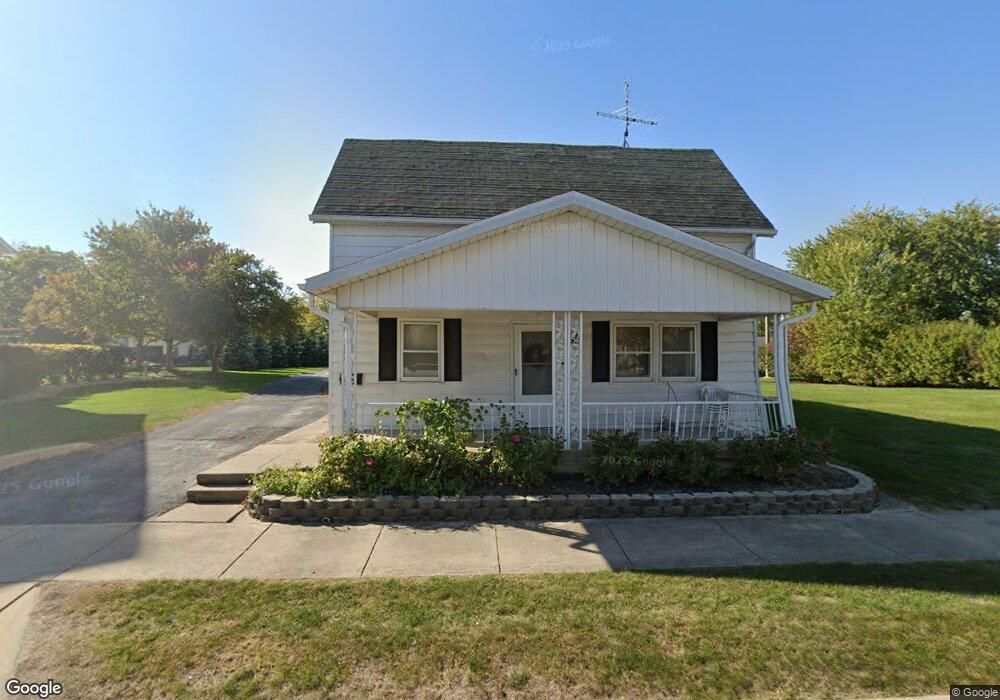
155 N Main St Minster, OH 45865
Estimated Value: $146,000 - $296,000
3
Beds
2
Baths
2,317
Sq Ft
$99/Sq Ft
Est. Value
About This Home
This home is located at 155 N Main St, Minster, OH 45865 and is currently estimated at $230,159, approximately $99 per square foot. 155 N Main St is a home located in Auglaize County with nearby schools including Minster Elementary School and Minster Junior/Senior High School.
Ownership History
Date
Name
Owned For
Owner Type
Purchase Details
Closed on
Feb 11, 2019
Sold by
Wise Edna M
Bought by
Flynn Michael F and Flynn F
Current Estimated Value
Home Financials for this Owner
Home Financials are based on the most recent Mortgage that was taken out on this home.
Interest Rate
4.41%
Purchase Details
Closed on
Feb 3, 2016
Sold by
Wise Clifford L
Bought by
Wise Edna M
Purchase Details
Closed on
Mar 9, 2014
Sold by
Wise Clifford L and Wise Edna M
Bought by
Wise Clifford L and Wise Edna M
Create a Home Valuation Report for This Property
The Home Valuation Report is an in-depth analysis detailing your home's value as well as a comparison with similar homes in the area
Home Values in the Area
Average Home Value in this Area
Purchase History
| Date | Buyer | Sale Price | Title Company |
|---|---|---|---|
| Flynn Michael F | $75,000 | -- | |
| Wise Edna M | -- | None Available | |
| Wise Clifford L | -- | Attorney |
Source: Public Records
Mortgage History
| Date | Status | Borrower | Loan Amount |
|---|---|---|---|
| Closed | Flynn Michael F | -- |
Source: Public Records
Tax History
| Year | Tax Paid | Tax Assessment Tax Assessment Total Assessment is a certain percentage of the fair market value that is determined by local assessors to be the total taxable value of land and additions on the property. | Land | Improvement |
|---|---|---|---|---|
| 2025 | $3,651 | $52,550 | $15,740 | $36,810 |
| 2024 | $3,651 | $52,550 | $15,740 | $36,810 |
| 2023 | $1,787 | $52,550 | $15,740 | $36,810 |
| 2022 | $1,663 | $45,220 | $14,440 | $30,780 |
| 2021 | $1,691 | $45,220 | $14,440 | $30,780 |
| 2020 | $873 | $45,221 | $14,445 | $30,776 |
| 2019 | $1,169 | $37,156 | $11,872 | $25,284 |
| 2018 | $1,169 | $37,156 | $11,872 | $25,284 |
| 2017 | $1,085 | $37,156 | $11,872 | $25,284 |
| 2016 | $1,033 | $35,151 | $10,770 | $24,381 |
| 2015 | $1,015 | $35,151 | $10,770 | $24,381 |
| 2014 | $1,037 | $35,151 | $10,770 | $24,381 |
| 2013 | $1,066 | $35,151 | $10,770 | $24,381 |
Source: Public Records
Map
Nearby Homes
- 31 Melcher St
- 17 Stonegate Dr
- 0 Stonegate Dr Unit 14 10544847
- 0 Stonegate Dr Unit 21 10544857
- 36 Shania Place Unit 23
- 28 Shania Place Unit 33
- 19 Shania Place Unit 33
- 27 Shania Place Unit 26
- 7 E 2nd St
- 561 S Walnut St Unit Lot3
- 5761 Fisher & Koverman Rd
- 1991 Minster Egypt Pike
- 315 Mid Lane St
- 410 E Cherry St
- 130 Janice Dr
- 217 S Washington St
- 137 Janice Dr
- 39 Harlamert Dr
- 132 Janice Dr
- 141 Janice Dr
- 163 N Main St
- 147 N Main St
- 139 N Main St
- 169 N Main St
- 148 N Lincoln St
- 164 N Lincoln St
- 140 N Main St
- 172 N Main St
- 123 N Main St
- 140 N Lincoln St
- 172 N Lincoln St
- 195 N Main St
- 156 N Main St
- 132 N Main St
- 164 N Main St
- 132 N Lincoln St
- 180 N Lincoln St
- 159 E 6th St
- 156 N Lincoln St
- 188 N Lincoln St
Your Personal Tour Guide
Ask me questions while you tour the home.