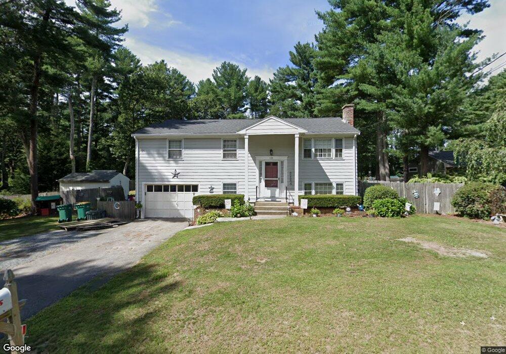
155 Otis St Mansfield, MA 02048
Estimated Value: $593,000 - $677,000
3
Beds
2
Baths
1,480
Sq Ft
$421/Sq Ft
Est. Value
About This Home
This home is located at 155 Otis St, Mansfield, MA 02048 and is currently estimated at $622,675, approximately $420 per square foot. 155 Otis St is a home located in Bristol County with nearby schools including Everett W. Robinson Elementary School, Jordan/Jackson Elementary School, and Harold L. Qualters Middle School.
Ownership History
Date
Name
Owned For
Owner Type
Purchase Details
Closed on
Apr 9, 2007
Sold by
Gilbertson Scott A and Gilbertson Judith A
Bought by
Collins John W and Collins Lisa Clasby
Current Estimated Value
Home Financials for this Owner
Home Financials are based on the most recent Mortgage that was taken out on this home.
Original Mortgage
$308,750
Outstanding Balance
$187,703
Interest Rate
6.25%
Mortgage Type
Purchase Money Mortgage
Estimated Equity
$434,972
Create a Home Valuation Report for This Property
The Home Valuation Report is an in-depth analysis detailing your home's value as well as a comparison with similar homes in the area
Home Values in the Area
Average Home Value in this Area
Purchase History
| Date | Buyer | Sale Price | Title Company |
|---|---|---|---|
| Collins John W | $325,000 | -- |
Source: Public Records
Mortgage History
| Date | Status | Borrower | Loan Amount |
|---|---|---|---|
| Open | Collins John W | $308,750 |
Source: Public Records
Tax History Compared to Growth
Tax History
| Year | Tax Paid | Tax Assessment Tax Assessment Total Assessment is a certain percentage of the fair market value that is determined by local assessors to be the total taxable value of land and additions on the property. | Land | Improvement |
|---|---|---|---|---|
| 2025 | $6,557 | $497,900 | $241,800 | $256,100 |
| 2024 | $6,152 | $455,700 | $241,800 | $213,900 |
| 2023 | $6,040 | $428,700 | $241,800 | $186,900 |
| 2022 | $5,859 | $386,200 | $223,800 | $162,400 |
| 2021 | $3,500 | $358,100 | $195,900 | $162,200 |
| 2020 | $5,422 | $353,000 | $186,600 | $166,400 |
| 2019 | $4,898 | $321,800 | $155,400 | $166,400 |
| 2018 | $3,763 | $301,900 | $148,200 | $153,700 |
| 2017 | $4,514 | $300,500 | $144,000 | $156,500 |
| 2016 | $4,460 | $289,400 | $137,100 | $152,300 |
| 2015 | $4,159 | $268,300 | $137,100 | $131,200 |
Source: Public Records
Map
Nearby Homes
- 176 Elm St
- 2 Oak St Unit 2D
- 2 Oak St Unit 2A
- 2 Oak St Unit 2C
- 2 Oak St Unit 2B
- 150 Gilbert St
- 451R Gilbert St
- 37 Oakleaf Dr
- 4 Buckskin Dr
- 255 Mckeon Dr
- 14 Country Club Way
- 24 Maverick Dr
- 250 Mansfield Ave Unit 66
- 196 Donald Tennant Cir
- 115 Westfield Dr
- 4 Village Way Unit F
- 15 Reservoir St Unit 44
- 11 Buckthorn Ln
- 231 Spring St
- 11 Landry Ave