155 Pell St Lewisport, KY 42351
Estimated Value: $85,359 - $190,000
2
Beds
1
Bath
1,249
Sq Ft
$109/Sq Ft
Est. Value
About This Home
This home is located at 155 Pell St, Lewisport, KY 42351 and is currently estimated at $136,090, approximately $108 per square foot. 155 Pell St is a home located in Hancock County with nearby schools including Hancock County Middle School and Hancock County High School.
Ownership History
Date
Name
Owned For
Owner Type
Purchase Details
Closed on
Sep 1, 1996
Bought by
Swihart Ida Mae
Current Estimated Value
Create a Home Valuation Report for This Property
The Home Valuation Report is an in-depth analysis detailing your home's value as well as a comparison with similar homes in the area
Home Values in the Area
Average Home Value in this Area
Purchase History
| Date | Buyer | Sale Price | Title Company |
|---|---|---|---|
| Swihart Ida Mae | $15,500 | -- |
Source: Public Records
Tax History Compared to Growth
Tax History
| Year | Tax Paid | Tax Assessment Tax Assessment Total Assessment is a certain percentage of the fair market value that is determined by local assessors to be the total taxable value of land and additions on the property. | Land | Improvement |
|---|---|---|---|---|
| 2024 | $311 | $30,000 | $0 | $0 |
| 2023 | $208 | $19,800 | $0 | $0 |
| 2022 | $206 | $19,800 | $0 | $0 |
| 2021 | $207 | $19,800 | $0 | $0 |
| 2020 | $200 | $19,800 | $0 | $0 |
| 2019 | $200 | $19,800 | $0 | $0 |
| 2018 | $192 | $19,800 | $0 | $0 |
| 2017 | $193 | $19,800 | $0 | $0 |
| 2016 | $186 | $19,800 | $0 | $0 |
| 2015 | $178 | $19,800 | $4,000 | $15,800 |
| 2014 | $178 | $19,800 | $4,000 | $15,800 |
| 2012 | $178 | $19,800 | $4,000 | $15,800 |
Source: Public Records
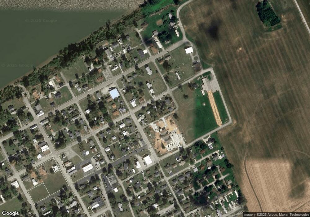
Map
Nearby Homes
- 25 Market St
- 490 High St
- 120 Mockingbird Ln
- 406 Bluegrass Dr
- 175 Sands Dr
- 50 Lee Henderson Rd
- 1410 Washington Ave
- 1445 Meadowlane Dr
- 6 E Highway 60
- Lot 1 Hwy 271
- 3973 State Route 657
- Lot 2 Hwy 271
- 9585 River Rd
- Lot 58 Hickory Ridge Rd
- Lot 56 Hickory Ridge Rd
- Lot 57 Hickory Ridge Rd
- 330 N Chestnut Grove Rd
- 711 Church St
- 320 11th St
- Lot 3 Abigail Ln