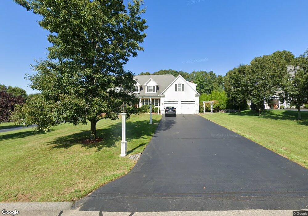
155 Pokanoket Path Wrentham, MA 02093
Estimated Value: $1,100,000 - $1,186,000
4
Beds
3
Baths
3,299
Sq Ft
$344/Sq Ft
Est. Value
About This Home
This home is located at 155 Pokanoket Path, Wrentham, MA 02093 and is currently estimated at $1,134,831, approximately $343 per square foot. 155 Pokanoket Path is a home located in Norfolk County with nearby schools including Delaney Elementary School and Charles E Roderick.
Ownership History
Date
Name
Owned For
Owner Type
Purchase Details
Closed on
Aug 8, 2003
Sold by
Diplacido Dev Corp
Bought by
Denholm Stuart
Current Estimated Value
Home Financials for this Owner
Home Financials are based on the most recent Mortgage that was taken out on this home.
Original Mortgage
$280,000
Interest Rate
5.28%
Mortgage Type
Purchase Money Mortgage
Create a Home Valuation Report for This Property
The Home Valuation Report is an in-depth analysis detailing your home's value as well as a comparison with similar homes in the area
Home Values in the Area
Average Home Value in this Area
Purchase History
| Date | Buyer | Sale Price | Title Company |
|---|---|---|---|
| Denholm Stuart | $562,040 | -- |
Source: Public Records
Mortgage History
| Date | Status | Borrower | Loan Amount |
|---|---|---|---|
| Open | Denholm Stuart | $250,000 | |
| Closed | Denholm Stuart | $50,000 | |
| Closed | Denholm Stuart | $280,000 |
Source: Public Records
Tax History Compared to Growth
Tax History
| Year | Tax Paid | Tax Assessment Tax Assessment Total Assessment is a certain percentage of the fair market value that is determined by local assessors to be the total taxable value of land and additions on the property. | Land | Improvement |
|---|---|---|---|---|
| 2025 | $11,542 | $995,900 | $303,800 | $692,100 |
| 2024 | $10,981 | $915,100 | $303,800 | $611,300 |
| 2023 | $11,599 | $919,100 | $276,200 | $642,900 |
| 2022 | $10,151 | $742,600 | $212,600 | $530,000 |
| 2021 | $10,212 | $725,800 | $222,700 | $503,100 |
| 2020 | $10,937 | $767,500 | $200,900 | $566,600 |
| 2019 | $10,641 | $753,600 | $216,400 | $537,200 |
| 2018 | $9,196 | $645,800 | $216,700 | $429,100 |
| 2017 | $8,970 | $629,500 | $212,500 | $417,000 |
| 2016 | $8,786 | $615,300 | $206,400 | $408,900 |
| 2015 | $8,972 | $598,900 | $198,400 | $400,500 |
| 2014 | $8,887 | $580,500 | $190,800 | $389,700 |
Source: Public Records
Map
Nearby Homes
- Lot 3 - 14 Earle Stewart Ln
- Lot 1 - Blueberry 2 Car Plan at King Philip Estates
- Lot 8 - Blueberry 2 Car Plan at King Philip Estates
- Lot 5 - Hughes 2 car Plan at King Philip Estates
- Lot 6 - Blueberry 3 Car Plan at King Philip Estates
- Lot 2 - Camden 2 Car Plan at King Philip Estates
- Lot 7 - Cedar Plan at King Philip Estates
- Lot 4 - Hemingway 2 Car Plan at King Philip Estates
- Lot 3 - Blueberry 2 Car Plan at King Philip Estates
- 11 Earle Stewart Ln
- 131 Creek St Unit 7
- 791 South St Unit 5
- 570 Franklin St
- 10 Nature View Dr
- 15 Nature View Dr
- 319 Taunton St
- 440 Chestnut St
- 270 Dedham St
- 1 Lorraine Metcalf Dr
- 362 East St
- 165 Pokanoket Path
- 145 Pokanoket Path
- 135 Pokanoket Path
- 175 Pokanoket Path
- 150 Pokanoket Path
- 140 Pokanoket Path
- 125 Pokanoket Path
- 130 Pokanoket Path
- 160 Pokanoket Path
- 120 Pokanoket Path
- 170 Pokanoket Path
- 115 Pokanoket Path
- 590 Eastside Rd
- 580 Eastside Rd
- 560 Eastside Rd
- 600 Eastside Rd
- 610 Eastside Rd
- 110 Pokanoket Path
- 540 E Side Rd
- 540 Eastside Rd