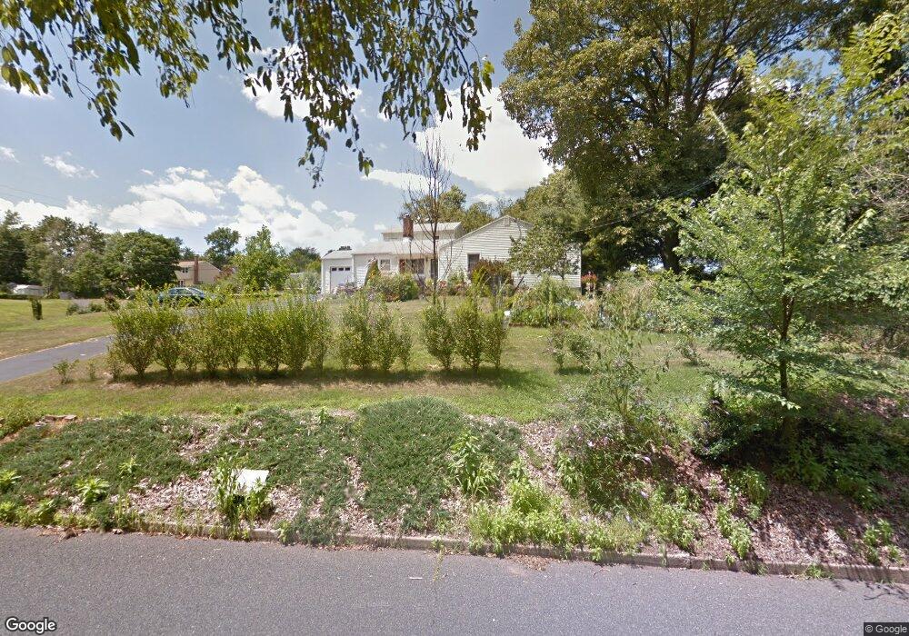
155 River Rd Branchburg, NJ 08876
Branchburg Township NeighborhoodEstimated Value: $622,446 - $723,000
--
Bed
--
Bath
2,229
Sq Ft
$295/Sq Ft
Est. Value
About This Home
This home is located at 155 River Rd, Branchburg, NJ 08876 and is currently estimated at $658,612, approximately $295 per square foot. 155 River Rd is a home located in Somerset County with nearby schools including Whiton Elementary School, Stony Brook School, and Branchburg Central Middle School.
Ownership History
Date
Name
Owned For
Owner Type
Purchase Details
Closed on
Mar 14, 2007
Sold by
Mazur Stanley
Bought by
Reinhart Kenneth and Reinhart Robin
Current Estimated Value
Home Financials for this Owner
Home Financials are based on the most recent Mortgage that was taken out on this home.
Original Mortgage
$355,350
Outstanding Balance
$215,911
Interest Rate
6.33%
Estimated Equity
$442,701
Purchase Details
Closed on
Nov 9, 2001
Sold by
Sanquini Richard
Bought by
Mazur Stanley and Mazur Jeannine
Home Financials for this Owner
Home Financials are based on the most recent Mortgage that was taken out on this home.
Original Mortgage
$180,000
Interest Rate
6.64%
Create a Home Valuation Report for This Property
The Home Valuation Report is an in-depth analysis detailing your home's value as well as a comparison with similar homes in the area
Home Values in the Area
Average Home Value in this Area
Purchase History
| Date | Buyer | Sale Price | Title Company |
|---|---|---|---|
| Reinhart Kenneth | $473,800 | -- | |
| Mazur Stanley | $210,000 | -- |
Source: Public Records
Mortgage History
| Date | Status | Borrower | Loan Amount |
|---|---|---|---|
| Open | Reinhart Kenneth | $355,350 | |
| Previous Owner | Mazur Stanley | $180,000 |
Source: Public Records
Tax History Compared to Growth
Tax History
| Year | Tax Paid | Tax Assessment Tax Assessment Total Assessment is a certain percentage of the fair market value that is determined by local assessors to be the total taxable value of land and additions on the property. | Land | Improvement |
|---|---|---|---|---|
| 2025 | $8,928 | $537,300 | $135,700 | $401,600 |
| 2024 | $8,928 | $494,900 | $135,700 | $359,200 |
| 2023 | $8,827 | $471,800 | $135,700 | $336,100 |
| 2022 | $8,847 | $449,300 | $135,700 | $313,600 |
| 2021 | $8,991 | $425,300 | $135,700 | $289,600 |
| 2020 | $8,928 | $416,600 | $135,700 | $280,900 |
| 2019 | $8,838 | $410,100 | $135,700 | $274,400 |
| 2018 | $8,797 | $407,100 | $131,000 | $276,100 |
| 2017 | $8,693 | $399,500 | $126,200 | $273,300 |
| 2016 | $8,734 | $398,800 | $126,200 | $272,600 |
| 2015 | $8,698 | $397,900 | $126,200 | $271,700 |
| 2014 | $8,547 | $395,700 | $125,000 | $270,700 |
Source: Public Records
Map
Nearby Homes
- 232 River Rd
- 185 Milltown Rd
- 3010 Doolittle Dr
- 2801 Doolittle Dr
- 2512 Lindsley Rd
- 11 Andover Ave
- 2104 Doolittle Dr
- 87 Ivy Ln
- 2706 Pinhorn Dr
- 3214 Winder Dr
- 2008 Ackmen Ct
- 19 Craft Farm Dr
- 3803 Vroom Dr
- 501 Reading Cir
- 507 Dunn Cir
- 3705 Vroom Dr Unit 3705
- 10 Red Oak Way
- 2103 Vroom Dr
- 317 Old York Rd
- 1601 Breckenridge Dr