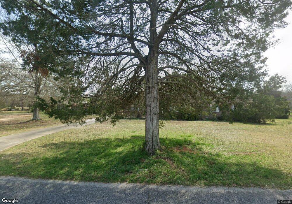
155 Simpson Rd Honea Path, SC 29654
Estimated Value: $206,192 - $382,000
Studio
--
Bath
1,673
Sq Ft
$180/Sq Ft
Est. Value
About This Home
This home is located at 155 Simpson Rd, Honea Path, SC 29654 and is currently estimated at $301,048, approximately $179 per square foot. 155 Simpson Rd is a home with nearby schools including Belton Honea Path High School.
Ownership History
Date
Name
Owned For
Owner Type
Purchase Details
Closed on
Jul 21, 2023
Sold by
Mahaffey Dale and Mahaffey Lisa
Bought by
Wengerd Tyler and Wengerd Tiffnay
Current Estimated Value
Home Financials for this Owner
Home Financials are based on the most recent Mortgage that was taken out on this home.
Original Mortgage
$79,050
Outstanding Balance
$74,117
Interest Rate
6.71%
Mortgage Type
Credit Line Revolving
Estimated Equity
$226,931
Purchase Details
Closed on
Mar 15, 2021
Sold by
Ross Thomas Carrol and Ross Melvin Ray
Bought by
Ross Thomas Carrol and Scott Flora Celestine
Create a Home Valuation Report for This Property
The Home Valuation Report is an in-depth analysis detailing your home's value as well as a comparison with similar homes in the area
Home Values in the Area
Average Home Value in this Area
Purchase History
| Date | Buyer | Sale Price | Title Company |
|---|---|---|---|
| Wengerd Tyler | $93,000 | None Listed On Document | |
| Wengerd Tyler | $93,000 | None Listed On Document | |
| Ross Thomas Carrol | -- | None Available |
Source: Public Records
Mortgage History
| Date | Status | Borrower | Loan Amount |
|---|---|---|---|
| Open | Wengerd Tyler | $79,050 | |
| Closed | Wengerd Tyler | $79,050 |
Source: Public Records
Tax History Compared to Growth
Tax History
| Year | Tax Paid | Tax Assessment Tax Assessment Total Assessment is a certain percentage of the fair market value that is determined by local assessors to be the total taxable value of land and additions on the property. | Land | Improvement |
|---|---|---|---|---|
| 2024 | $689 | $5,850 | $360 | $5,490 |
| 2023 | $689 | $5,800 | $310 | $5,490 |
| 2022 | $4,435 | $12,630 | $4,390 | $8,240 |
| 2021 | $367 | $5,020 | $400 | $4,620 |
| 2020 | $364 | $5,020 | $400 | $4,620 |
| 2019 | $364 | $5,020 | $400 | $4,620 |
| 2018 | $371 | $5,020 | $400 | $4,620 |
| 2017 | -- | $5,020 | $400 | $4,620 |
| 2016 | $298 | $4,610 | $320 | $4,290 |
| 2015 | $319 | $4,610 | $320 | $4,290 |
| 2014 | $323 | $4,610 | $320 | $4,290 |
Source: Public Records
Map
Nearby Homes
- 105 Sally Reed Rd
- 11900 Belton Honea Path Hwy
- 11923 Bhp Hwy
- 00 Docheno Rd
- 11306 Belton Honea Path Hwy
- 229 Armstrong Rd
- 111 Susan Ave
- 1 E McGee St
- 511 N Main St
- 723 723 Holliday Dam Rd
- 723 Holliday Dam Rd
- 7 Carlisle Dr
- 204 Deer Trot Ave
- 244 Wildwood Dr
- 202 Pete Armstrong Rd
- 600 N Main St
- 5 George St
- 108 Longshore Dr
- 800 Holliday Dam Rd
- 2 Heyward Ave
- 205 Simpson Rd
- 247 Simpson Rd
- NPA Hamby Rd
- 0 Hamby Rd Unit 20001974
- 00 Hamby Rd
- 00 Hamby Rd Unit 30.67 Acres
- 00 Hamby Rd Unit 19.54 Acres
- 1709 Hamby Rd
- 253 Simpson Rd
- 254 Simpson Rd
- 301 Canfield Rd
- 209 Canfield Rd
- 191 Canfield Rd
- 1919 Hamby Rd
- 02 Simpson Rd
- 01 Simpson Rd
- 00 Simpson Rd
- 160 Pruitt Rd
- 181 Canfield Rd
- 161 Canfield Rd
