155 W Sandy River Rd Mercer, ME 04957
Estimated Value: $302,000 - $337,000
3
Beds
2
Baths
1,500
Sq Ft
$211/Sq Ft
Est. Value
About This Home
This home is located at 155 W Sandy River Rd, Mercer, ME 04957 and is currently estimated at $316,700, approximately $211 per square foot. 155 W Sandy River Rd is a home located in Somerset County.
Ownership History
Date
Name
Owned For
Owner Type
Purchase Details
Closed on
Jun 12, 2013
Sold by
Martin Joyce E
Bought by
Powser David A and Powser Gina N
Current Estimated Value
Home Financials for this Owner
Home Financials are based on the most recent Mortgage that was taken out on this home.
Original Mortgage
$108,000
Outstanding Balance
$76,482
Interest Rate
3.39%
Mortgage Type
Commercial
Estimated Equity
$240,218
Create a Home Valuation Report for This Property
The Home Valuation Report is an in-depth analysis detailing your home's value as well as a comparison with similar homes in the area
Home Values in the Area
Average Home Value in this Area
Purchase History
| Date | Buyer | Sale Price | Title Company |
|---|---|---|---|
| Powser David A | -- | -- |
Source: Public Records
Mortgage History
| Date | Status | Borrower | Loan Amount |
|---|---|---|---|
| Open | Powser David A | $108,000 |
Source: Public Records
Tax History Compared to Growth
Tax History
| Year | Tax Paid | Tax Assessment Tax Assessment Total Assessment is a certain percentage of the fair market value that is determined by local assessors to be the total taxable value of land and additions on the property. | Land | Improvement |
|---|---|---|---|---|
| 2024 | $3,077 | $293,000 | $55,000 | $238,000 |
| 2023 | $2,469 | $132,748 | $19,000 | $113,748 |
| 2022 | $2,317 | $131,632 | $19,000 | $112,632 |
| 2021 | $2,317 | $131,632 | $19,000 | $112,632 |
| 2020 | $2,290 | $130,132 | $17,500 | $112,632 |
| 2019 | $2,251 | $130,132 | $17,500 | $112,632 |
| 2018 | $2,134 | $130,132 | $17,500 | $112,632 |
| 2017 | $2,081 | $130,132 | $17,500 | $112,632 |
| 2016 | $2,076 | $130,132 | $17,500 | $112,632 |
| 2015 | $2,059 | $130,132 | $17,500 | $112,632 |
| 2014 | $1,983 | $130,132 | $17,500 | $112,632 |
Source: Public Records
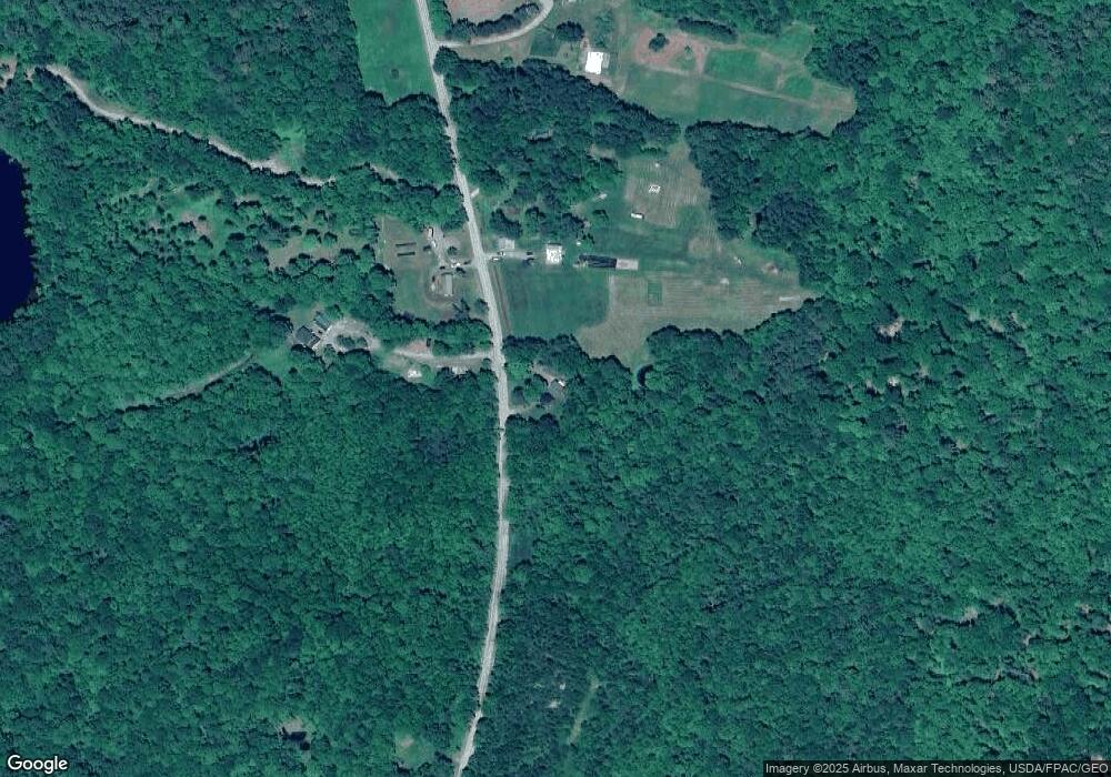
Map
Nearby Homes
- 510 Branns Mill Rd
- 349 Elm St
- 17 Claude Brewer Rd
- 1550 New Sharon Rd
- 204 Rome Rd
- 00 U S Highway 2
- 257 Rome Rd
- 0 Poor Farm Rd Unit 1637355
- 331 Beans Corner Rd
- 2679 Industry Rd
- M10 L12 Yeaton Island
- Lot 33 Butterfield Rd
- M10/18-7 Brown Rd
- 137 Butterfield Rd
- 335 Swan Rd
- 157 Bradley Ln
- M18L13 Mercer Rd
- 901 Mercer Rd
- 257 Sawyers Mills Rd
- 35 Industry Rd
- 172 W Sandy River Rd
- 164 W Sandy River Rd
- 171 W Sandy River Rd
- Map9 L19-7 W Sandy River Rd
- 193 W Sandy River Rd
- 240 W Sandy River Rd
- 78 W Sandy River Rd
- 86 W Sandy River Rd
- 62 W Sandy River Rd
- 32 W Sandy River Rd
- 62 W Sandy River Rd
- TBD Sandy River Rd
- 285 W Sandy River Rd
- 1057 New Sharon Rd
- 1005 New Sharon Rd
- TBD W Sandy River Rd
- 299 W Sandy River Rd
- 309 W Sandy River Rd
- 1081 New Sharon Rd
- 1101 New Sharon Rd